We believe there is no better way to explore Great Britain than on foot or bike. To prove that point, we’ve teamed up with Ordnance Survey, the national mapping agency, to share the best routes they recommend in Great Britain.
In this guide we set our sights on the paths and trails which take you through the stunning and diverse landscape of Cornwall. We’ve split the routes into categories i.e. lake, hill, mountain, with grade levels (Easy, Moderate, Challenging, Mountain). You'll also find the Ordnance Survey map you’ll need; plus, you can explore the route virtually using the recorded ‘Fly Through Videos’. Use the Navigation below to select Coast or Countryside routes.
A Quick Guide to Exploring Britain Responsibly
- Check and follow the latest Government guidelines for England, Scotland & Wales
- Plan ahead
- Take the right gear
- If it feels too busy, consider another option
- Read our simple Guide to Map Reading with Ordnance Survey & Knowing Your Compass

Coast
Countryside
Recommended Routes in Cornwall
So switch from your flip flops to walking shoes, pack your snacks and join us as we explore the best routes for walkers, cyclists and families in Cornwall.
Coast
Kynance Cove & The Lizard Circular Walk
Grade: Moderate
Terrain: Coast
Distance: 9.1km | Approx. Time: 2:00 – 2:30 hours
Ordnance Survey Map: Explorer OL24
Ordnance Survey Digital Map Here.
A visit to the Lizard Peninsula wouldn’t be complete without visiting Cornwall’s southern-most point, Lizard point. Starting in the village of Lizard this walk takes in the beauty of Kynance Cove made popular in the Victorian era, then you can walk in the footsteps of Queen Victoria along Pentreath Beach, before heading to Lizard Point itself. This walk isn’t meant to be a history tour but if you’re interested you can take a tour of Lizard Lighthouse or find out about Marconi’s experiments with wireless telegraph at Bass Point. For those not wanting to do the full route there are a multitude of footpaths that head back to Lizard itself.

Tintagel Circular Walk
Grade: Moderate
Terrain: Coast
Distance: 5.3km | Approx. Time: 1:30 – 2:00 hours
Ordnance Survey Map: Explorer OL24
Ordnance Survey Digital Map Here.
This is a spectacular circular walk around the cliffs of the wild Cornish coast, with views of the legendary Tintagel Castle. Whichever way round you choose to do this walk you will have fantastic views of this amazing coastline whilst walking along the South West Coast path. The most breath-taking of them all are from Barras Nose, which was the first bit of Coast land purchased by the National Trust, giving unprecedented views of Tintagel Castle. Even if the weather denies you a view you can still marvel at the sounds of the waves crashing into the base of the cliffs all around.

Countryside
Bodmin Moor Circular Walk
Grade: Moderate
Terrain: Countryside
Distance: 6.9km | Approx. Time: 2.00 - 2:30 hours
Ordnance Survey Map: Explorer OL1
Ordnance Survey Digital Map Here.
This peaceful countryside walk starting at Harpur’s Down on the north western edge of Bodmin Moor is only a stone’s throw away from the town of Camelford. With fantastic views of Cornwall’s highest point, Brown Willy (420m) and its second highest Roughtor (400m), if the Cornish weather allows! You’ll be able to keep the kids entertained by exploring the remains of the Medieval villageof Carweather whilst enjoying the views. For those looking to explore the area further why not takethe Moorland Walk path into Camelford itself or explore the nearby World War 2 airfield at Davidstow Woods.

Add the paper map detailed in the route to your collection with 40% off all Ordnance Survey maps. Need help with your map reading? Read our Map Reading with Ordnance Survey guide.
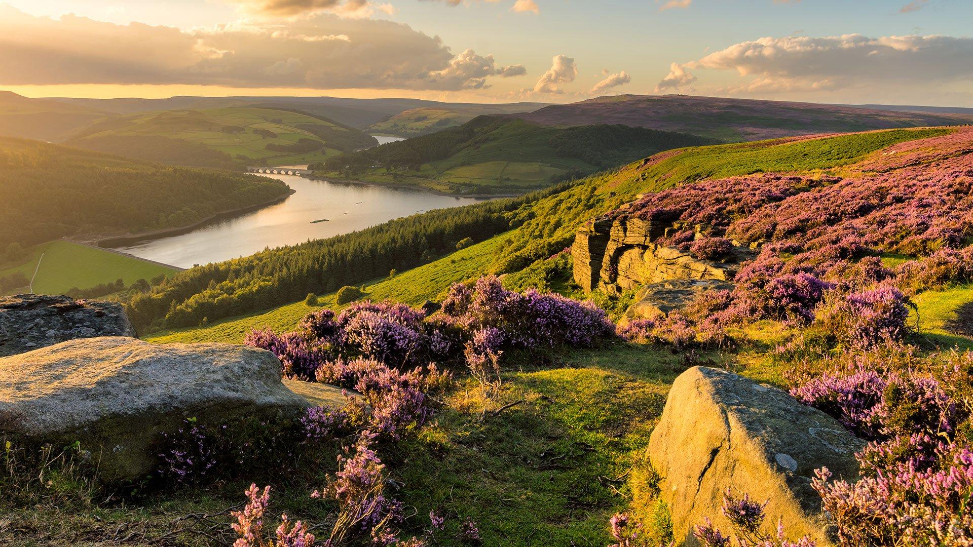
The Peak District is made for adventure. So where will you explore first? Share your snaps and tag us in your adventures using #mymillets.


