
Showing 48 of 918 results
-
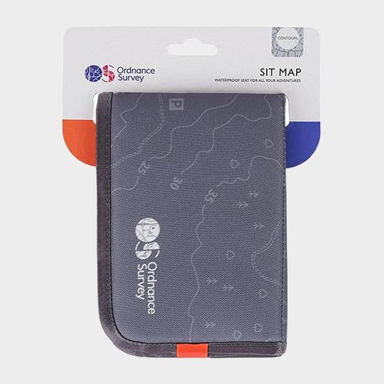
 Ordnance Survey Contour Sit Map£13.00
£15.00(Save 13%)Size in stock : One Size
-
-
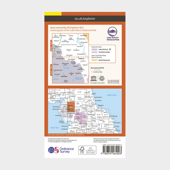
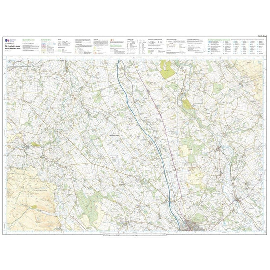
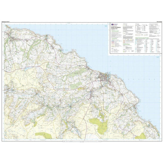
 Ordnance Survey Explorer OL5 The English Lakes - North Eastern area Map With Digital Version£7.80
£13.00(Save 40%)Size in stock : One Size
-
-
 Ordnance Survey Explorer OL17 Snowdon & Conwy Valley Map With Digital Version£7.80
£13.00(Save 40%)Size in stock : One Size
-
-
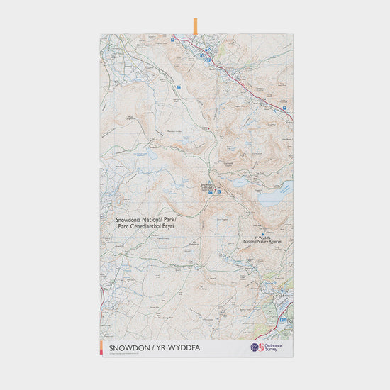
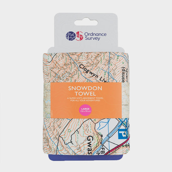
 Ordnance Survey Snowdon Large Travel Towel£24.00
£27.00(Save 11%)Size in stock : One Size
-
-
 Ordnance Survey Explorer OL24 The Peak District With Digital Version£7.80
£13.00(Save 40%)Size in stock : One Size
-
-
 Ordnance Survey Explorer OL1 The Peak District – Dark Peak Area With Digital Version£7.80
£13.00(Save 40%)Size in stock : One Size
-
-
 Ordnance Survey Explorer OL6 The English Lakes - South Western area With Digital Version£7.80
£13.00(Save 40%)Size in stock : One Size
-
-
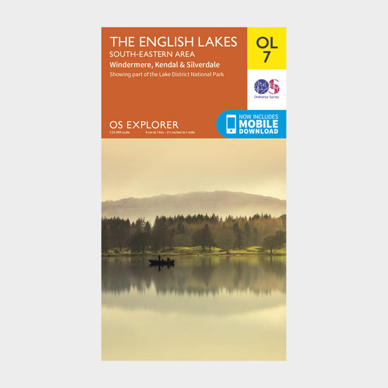 Ordnance Survey Explorer OL7 The English Lakes – South Eastern Area With Digitial Version£7.80
£13.00(Save 40%)Size in stock : One Size
-
-
 Ordnance Survey Explorer Active OL5 The English Lakes - North Eastern Area Map With Digital Version£10.20
£17.00(Save 40%)Size in stock : One Size
-
-
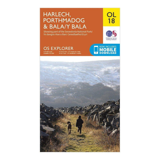
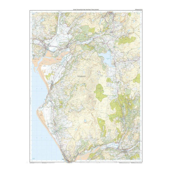
Ordnance Survey Explorer OL18 Harlech, Porthmadog & Bala Map With Digital Version£7.80
£13.00(Save 40%)Size in stock : One Size
-
-
Ordnance Survey High Peak Large Travel Towel£19.97
£27.00(Save 26%)SaleSize in stock : One Size
-
-
Ordnance Survey Explorer 340 Holy Island & Bamburgh Map With Digital£7.80
£13.00(Save 40%)Size in stock : One Size
-
-
Ordnance Survey Explorer OL28 Dartmoor Map With Digital Version£7.80
£13.00(Save 40%)Size in stock : One Size
-
-
Ordnance Survey Explorer Active OL7 The English Lakes - South Eastern Area Map With Digital Version£10.20
£17.00(Save 40%)Size in stock : One Size
-
-
Ordnance Survey Explorer OL4 The English Lakes – North Western Area With Digital Version£7.80
£13.00(Save 40%)Size in stock : One Size
-
-
Ordnance Survey Explorer Active OL6 The English Lakes - South Western Area Map With Digital Version£10.20
£17.00(Save 40%)Size in stock : One Size
-
-
Ordnance Survey Explorer OL23 Cadair Idris & Llyn Tegid Map With Digital Version£7.80
£13.00(Save 40%)Size in stock : One Size
-
-
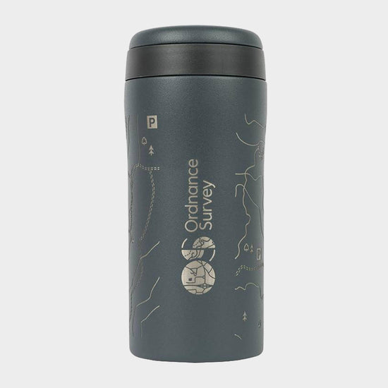
Ordnance Survey Thermal Mug£12.97
£17.00(Save 24%)SaleSize in stock : One Size
-
-
Ordnance Survey Contour Microfibre Small Towel£9.00
£11.00(Save 18%)Size in stock : One Size
-
-
Ordnance Survey Waterproof Phone Case£13.97
£18.00(Save 22%)SaleSize in stock : One Size
-
-
Ordnance Survey Explorer Active OL4 The English Lakes - North Western Area Map With Digital Version£10.20
£17.00(Save 40%)Size in stock : One Size
-
-
Ordnance Survey Explorer 332 Alnwick & Amble Map With Digital Version£7.80
£13.00(Save 40%)Size in stock : One Size
-
-
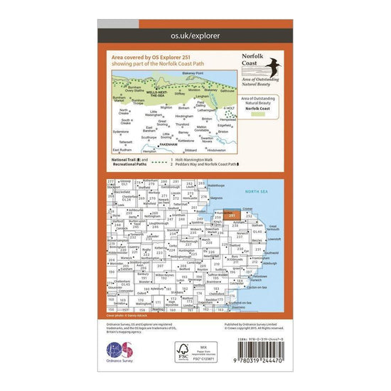
Ordnance Survey Explorer 251 Norfolk Coast Central Map With Digital Version£7.80
£13.00(Save 40%)Size in stock : One Size
-
-
Ordnance Survey Explorer Active OL2 Yorkshire Dales - Southern & Western Areas Map With Digital Version£10.20
£17.00(Save 40%)Size in stock : One Size
-
-
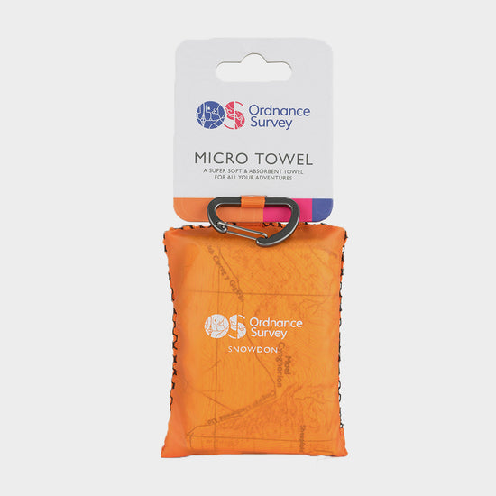
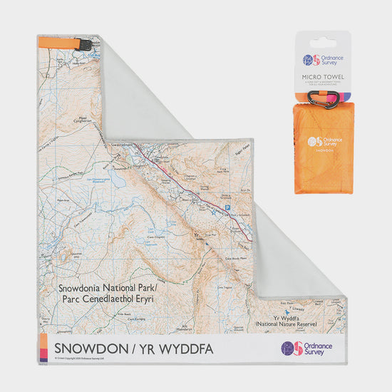
Ordnance Survey Snowdonia Micro Towel£9.00
£11.00(Save 18%)Size in stock : One Size
-
-
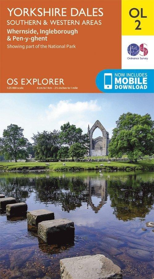
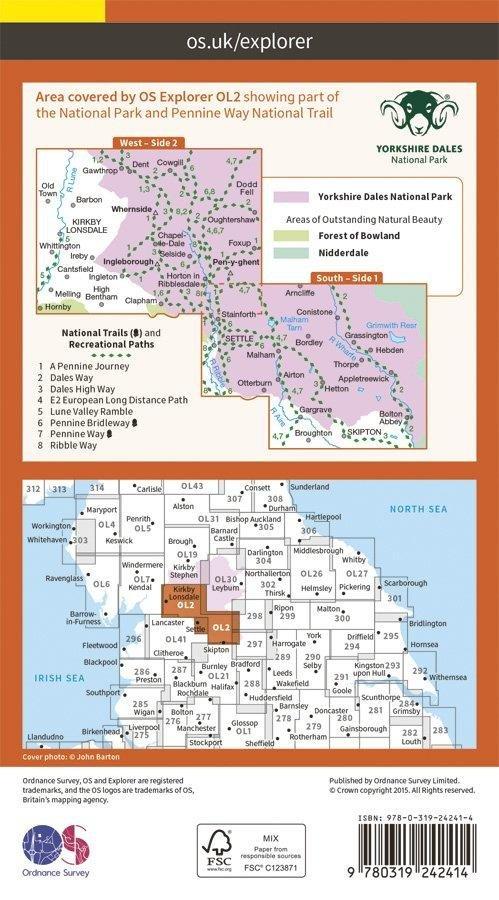
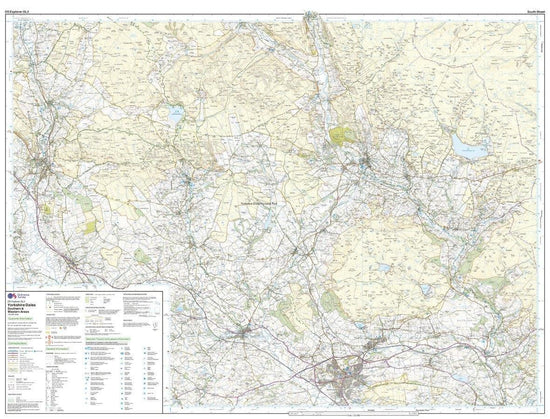
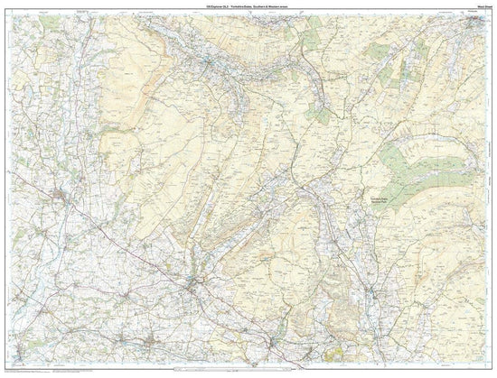
Ordnance Survey Explorer OL2 Yorkshire Dales - Southern & Western Areas Map With Digital Version£7.80
£13.00(Save 40%)Size in stock : One Size
-
-
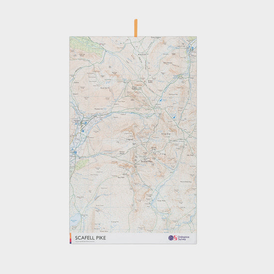
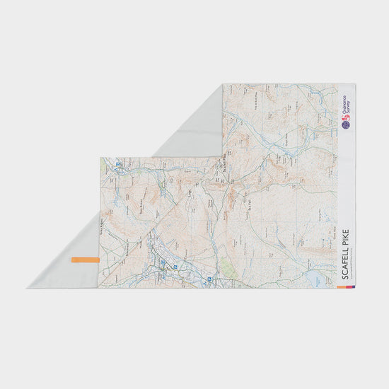
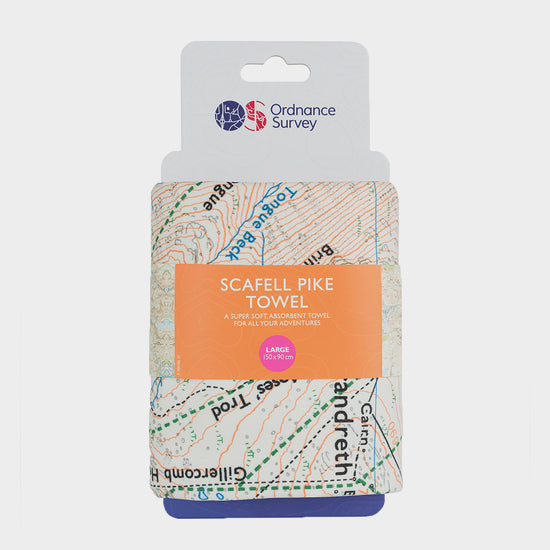
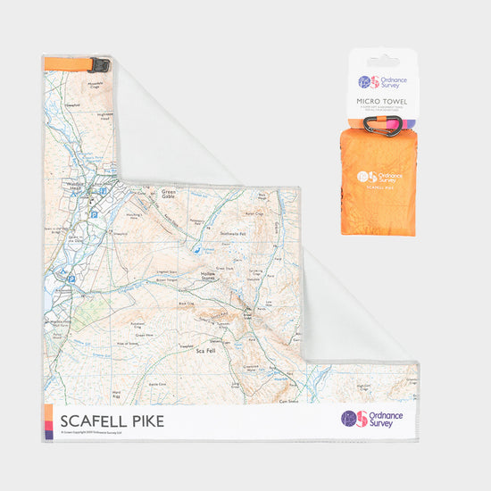
Ordnance Survey Scafell Pike Large Travel Towel£24.00
£27.00(Save 11%)Size in stock : One Size
-
-
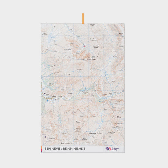
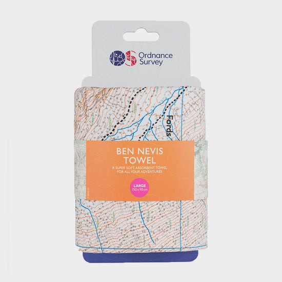
Ordnance Survey Ben Nevis Large Travel Towel£19.97
£27.00(Save 26%)SaleSize in stock : One Size
-
-
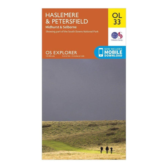
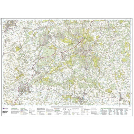
Ordnance Survey Explorer OL33 Haslemere & Petersfield Map With Digital Version£7.80
£13.00(Save 40%)Size in stock : One Size
-
-
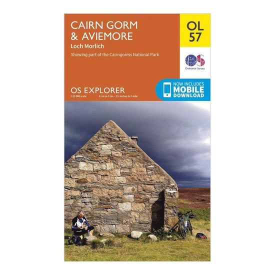
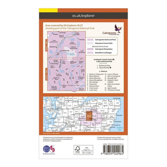
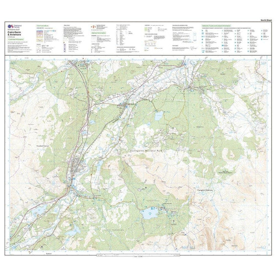
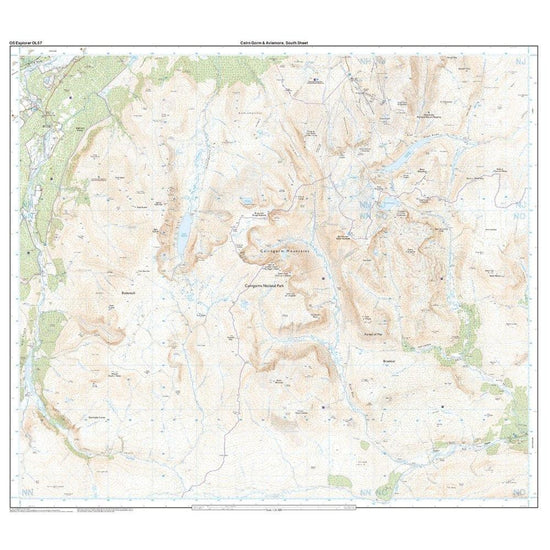
Ordnance Survey Explorer OL57 Cairn Gorm & Aviemore Map With Digital Version£7.80
£13.00(Save 40%)Size in stock : One Size
-
-
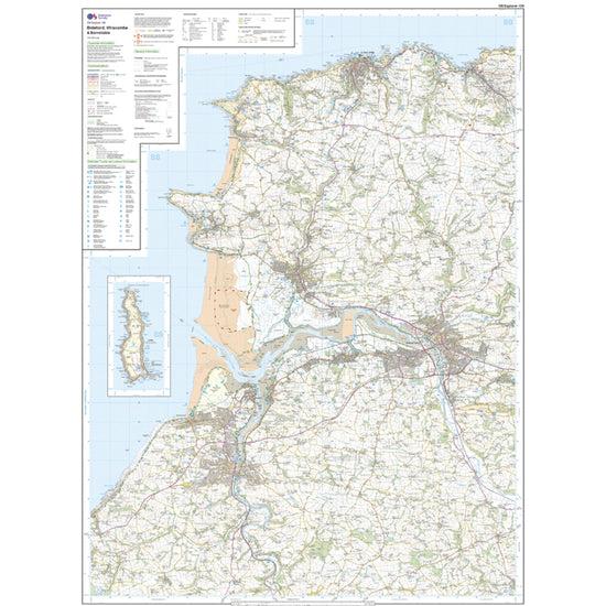
Ordnance Survey Explorer 139 Bideford, Ilfracombe & Barnstaple Map With Digital Version£7.80
£13.00(Save 40%)Size in stock : One Size
-
-
Ordnance Survey Explorer OL45 The Cotswold Map With Digital Version£7.80
£13.00(Save 40%)Size in stock : One Size
-
-
Ordnance Survey Waterproof Phone Case Large£19.00
£20.00Size in stock : One Size
-
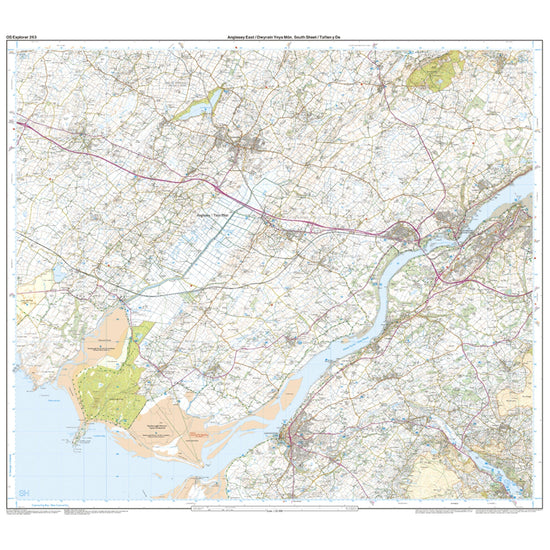
Ordnance Survey Explorer 263 Anglesey East Map With Digital Version£7.80
£13.00(Save 40%)Size in stock : One Size
-
-
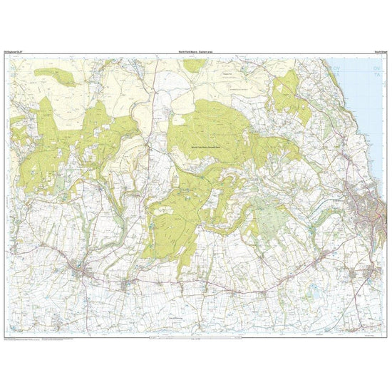
Ordnance Survey Explorer OL27 North York Moors - Eastern Area Map With Digital Version£7.80
£13.00(Save 40%)Size in stock : One Size
-
-
Ordnance Survey Explorer 179 Gloucester, Cheltenham & Stroud Map With Digital Version£7.80
£13.00(Save 40%)Size in stock : One Size
-
-
Ordnance Survey Lake District Micro Towel£9.00
£11.00(Save 18%)Size in stock : One Size
-
-
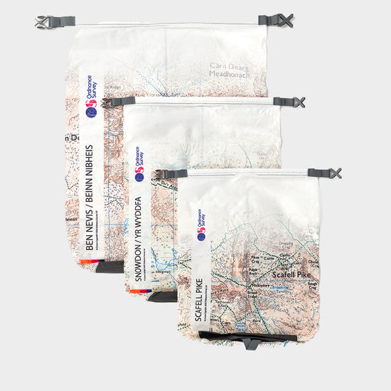
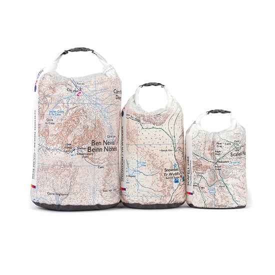
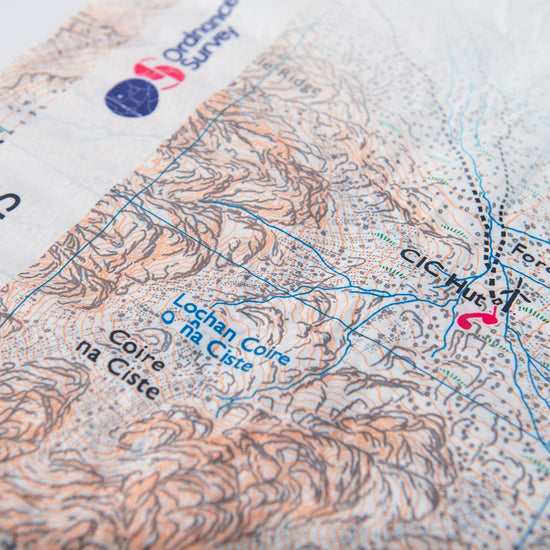
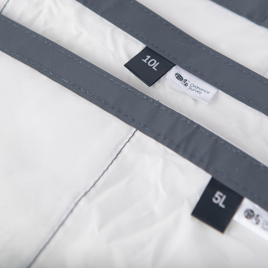
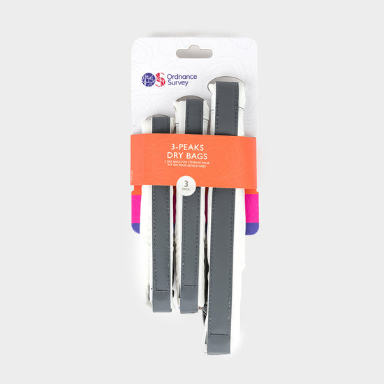
Ordnance Survey 3 Peaks Dry Bags£31.97
£43.00(Save 26%)SaleSize in stock : One Size
-
-
Ordnance Survey Explorer 346 Berwick-upon-Tweed Map With Digital Version£7.80
£13.00(Save 40%)Size in stock : One Size
-
-
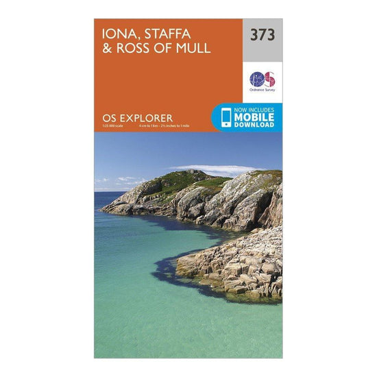
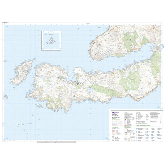
Ordnance Survey Explorer 373 Iona, Staffa & Ross of Mull Map With Digital Version£7.80
£13.00(Save 40%)Size in stock : One Size
-
-
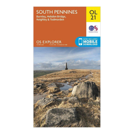
Ordnance Survey Explorer OL21 South Pennines Map With Digital Version£7.80
£13.00(Save 40%)Size in stock : One Size
-
-
Ordnance Survey Explorer 126 Clovelly & Hartland Map With Digital Version£7.80
£13.00(Save 40%)Size in stock : One Size
-
-
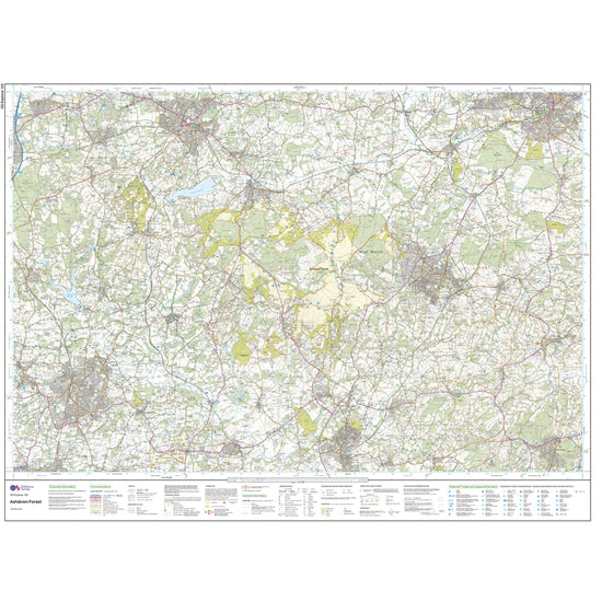
Ordnance Survey Explorer 135 Ashdown Forest Map With Digital Version£7.80
£13.00(Save 40%)Size in stock : One Size
-
-
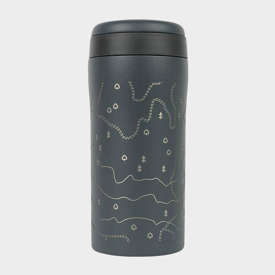
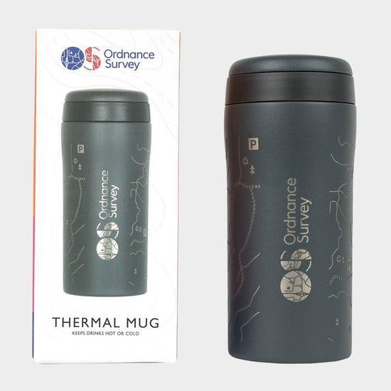
Ordnance Survey Thermal Mug£14.00
£17.00(Save 18%)Size in stock : One Size
-
-
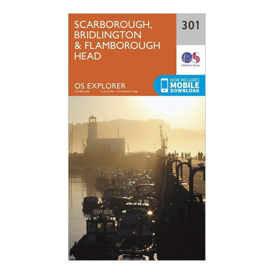
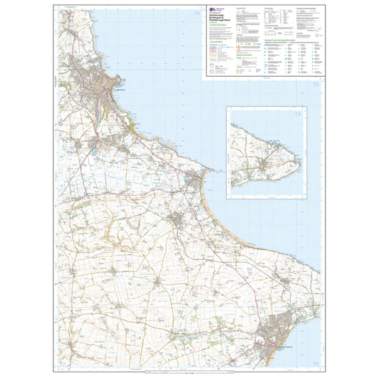
Ordnance Survey Explorer 301 Scarborough, Bridlington & Flamborough Head Map With Digital Version£7.80
£13.00(Save 40%)Size in stock : One Size
-
-
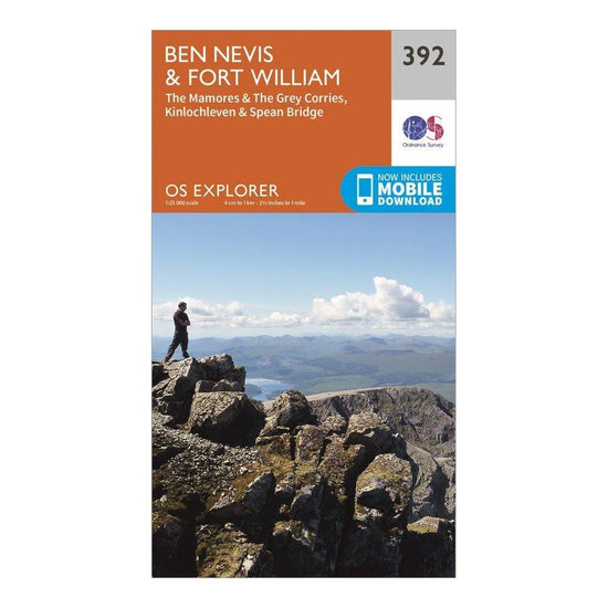
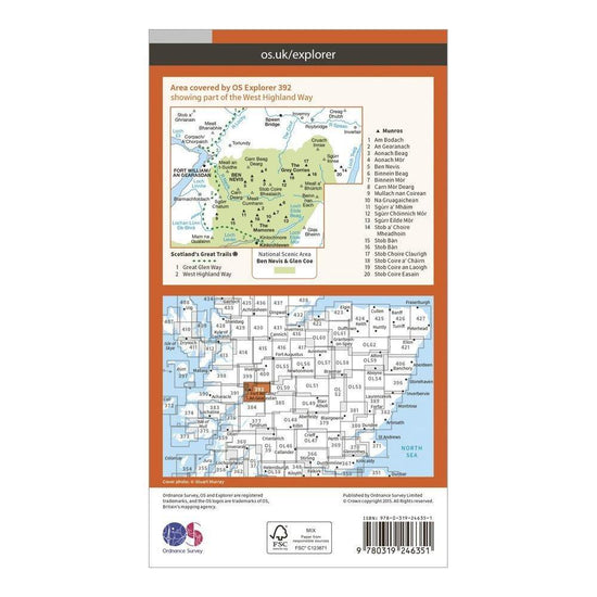
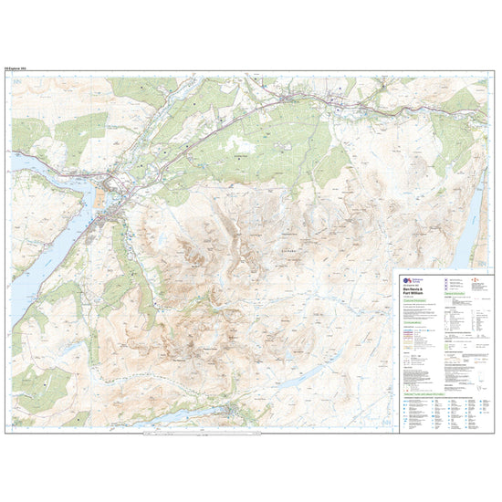
Ordnance Survey Explorer 392 Ben Nevis Map With Digital Version£7.80
£13.00(Save 40%)Size in stock : One Size
-
-
Ordnance Survey Explorer 252 Norfolk Coast East Map With Digital Version£7.80
£13.00(Save 40%)Size in stock : One Size
-
-
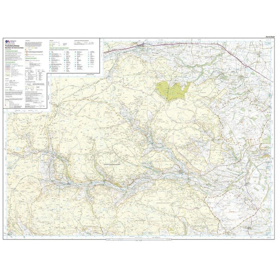
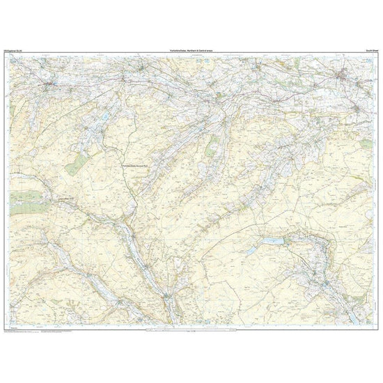
Ordnance Survey Explorer OL30 Yorkshire Dales - Northern & Central Areas Map With Digital Version£7.80
£13.00(Save 40%)Size in stock : One Size
-


Showing 48 of 918 results
Maps have been used for centuries by hikers, walkers, campers, cyclists, families and adventurers, to unlock the terrain and new adventures. Ordnance Survey is the national mapping agency for Great Britain. Outdoor enthusiasts of all types use Ordnance Survey maps to reach viewpoints, navigate the landscape and discover new places to explore. Traditional paper maps provide outstanding detail of the terrain and allows you to see the routes, landmarks and trails. Ordnance Survey have a varied collection of maps which cover Great Britain, with their active range popular on wet UK adventures. Prefer to go digital? Ordnance Survey also has a range of options for GPS devices and smartphones allowing you to plot your map and see on your device the route ahead.