
Showing 480 of 918 results
-
-
-
-
-
-
-
-
-
-
-
-
-
-
-
-
-
-
-
-
-
-
-
-
-
-
-
-
-
-
-
-
-
-
-
-
-
-
-
-
-
-
-
-
-
-
-
-
-
-
-
-
-
-
-
-
-
-
-
-
-
-
-
-
-
-
-
-
-
-
-
-
-
-
-
-
-
-
-
-
-
-
-
-
-
-
-
-
-
-
-
-
-
-
-
-
-
-
-
-
-
-
-
-
-
-
-
-
-
-
-
-
-
-
-
-
-
-
-
-
-
-
-
-
-
-
-
-
-
-
-
-
-
-
-
-
-
-
-
-
-
-
-
-
-
-
-
-
-
-
-
-
-
-
-
-
-
-
-
-
-
-
-
-
-
-
-
-
-
-
-
-
-
-
-
-
-
-
-
-
-
-
-
-
-
-
-
-
-
-
-
-
-
-
-
-
-
-
-
-
-
-
-
-
-
-
-
-
-
-
-
-
-
-
-
-
-
-
-
-
-
-
-
-
-
-
-
-
-
-
-
-
-
-
-
-
-
-
-
-
-
-
-
-
-
-
-
-
-
-
-
-
-
-
-
-
-
-
-
-
-
-
-
-
-
-
-
-
-
-
-
-
-
-
-
-
-
-
-
-
-
-
-
-
-
-
-
-
-
-
-
-
-
-
-
-
-
-
-
-
-
-
-
-
-
-
-
-
-
-
-
-
-
-
-
-
-
-
-
-
-
-
-
-
-
-
-
-
-
-
-
-
-
-
-
-
-
-
-
-
-
-
-
-
-
-
-
-
-
-
-
-
-
-
-
-
-
-
-
-
-
-
-
-
-
-
-
-
-
-
-
-
-
-
-
-
-
-
-
-
-
-
-
-
-
-
-
-
-
-
-
-
-
-
-
-
-
-
-
-
-
-
-
-
-
-
-
-
-
-
-
-
-
-
-
-
-
-
-
-
-
-
-
-
-
-
-
-
-
-
-
-
-
 Ordnance Survey Landranger Active 118 Stoke-on-Trent & Macclesfield Map With Digital Version£10.20
£17.00(Save 40%)Size in stock : One Size
-
-
 Ordnance Survey Explorer Active 446 Durness & Cape Wrath Map With Digital Version£10.20
£17.00(Save 40%)Size in stock : One Size
-
-
 Ordnance Survey Landranger Active 171 Cardiff & Newport, Pontypool Map With Digital Version£10.20
£17.00(Save 40%)Size in stock : One Size
-
-
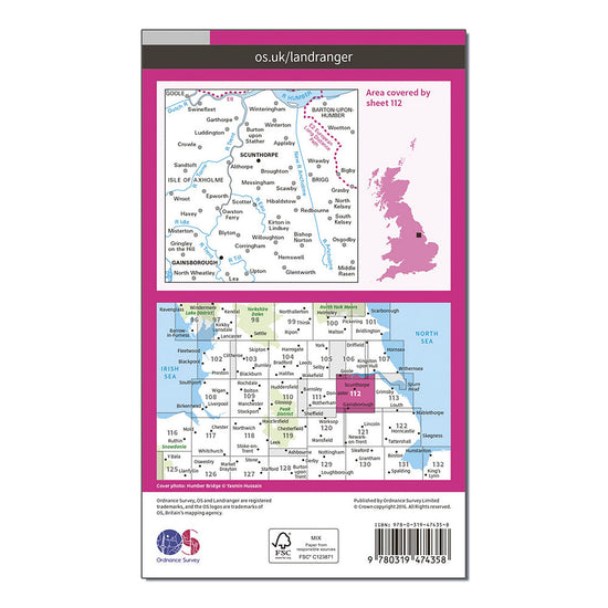
 Ordnance Survey Landranger Active 112 Scunthorpe & Gainsborough Map With Digital Version£10.20
£17.00(Save 40%)Size in stock : One Size
-
-
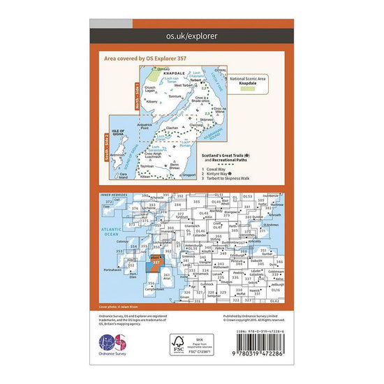
 Ordnance Survey Explorer Active 357 Kintyre North Map With Digital Version£10.20
£17.00(Save 40%)Size in stock : One Size
-
-
 Ordnance Survey Explorer Active 142 Shepton Mallet & Mendip Hills East Map With Digital Version£10.20
£17.00(Save 40%)Size in stock : One Size
-
-
 Ordnance Survey Landranger Active 193 Taunton & Lyme Regis, Chard & Bridport Map With Digital Version£10.20
£17.00(Save 40%)Size in stock : One Size
-
-
 Ordnance Survey Landranger Active 91 Appleby-in-Westmorland Map With Digital Version£10.20
£17.00(Save 40%)Size in stock : One Size
-
-
 Ordnance Survey Landranger Active 159 Swansea & Gower, Carmarthen Map With Digital Version£10.20
£17.00(Save 40%)Size in stock : One Size
-
-
Ordnance Survey Explorer 457 South East Lewis Map With Digital Version£7.80
£13.00(Save 40%)Size in stock : One Size
-
-
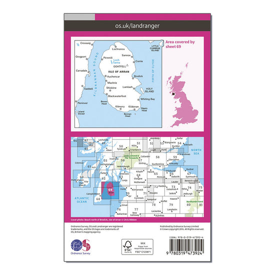
Ordnance Survey Landranger Active 69 Isle of Arran Map With Digital Version£10.20
£17.00(Save 40%)Size in stock : one size
-
-
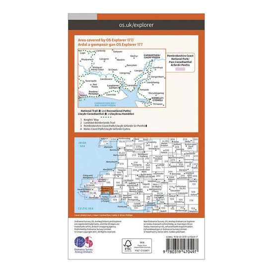
Ordnance Survey Explorer Active 177 Carmarthen & Kidwelly Map With Digital Version£10.20
£17.00(Save 40%)Size in stock : One Size
-
-
Ordnance Survey Explorer 223 Northampton, Market Harborough, Brixworth & Pitsford Water Map With Digital Version£7.80
£13.00(Save 40%)Size in stock : One Size
-
-
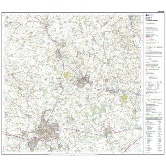
Ordnance Survey Explorer Active 195 Braintree & Saffron Walden Map With Digital Version£10.20
£17.00(Save 40%)Size in stock : One Size
-
-
Ordnance Survey Explorer 396 Stonehaven, Inverbervie & Laurencekirk Map With Digital Version£7.80
£13.00(Save 40%)Size in stock : One Size
-
-
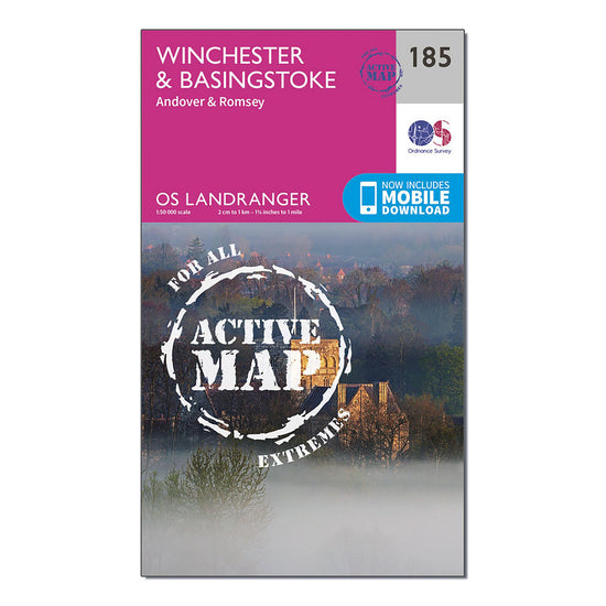
Ordnance Survey Landranger Active 185 Winchester & Basingstoke, Andover & Romsey Map With Digital Version£10.20
£17.00(Save 40%)Size in stock : One Size
-
-
Ordnance Survey Landranger 130 Grantham, Sleaford & Bourne Map With Digital Version£7.80
£13.00(Save 40%)Size in stock : One Size
-
-
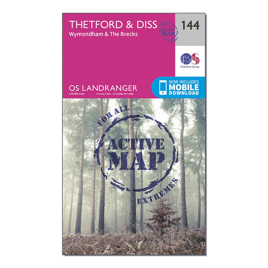
Ordnance Survey Landranger Active 144 Thetford & Diss, Breckland & Wymondham Map With Digital Version£10.20
£17.00(Save 40%)Size in stock : One Size
-
-
Ordnance Survey Explorer 460 North Lewis Map With Digital Version£7.80
£13.00(Save 40%)Size in stock : One Size
-
-
Ordnance Survey Explorer 353 Islay North Map With Digital Version£7.80
£13.00(Save 40%)Size in stock : One Size
-
-
Ordnance Survey Explorer Active 188 Builth Wells, Painscastle & Talgarth Map With Digital Version£10.20
£17.00(Save 40%)Size in stock : One Size
-
-
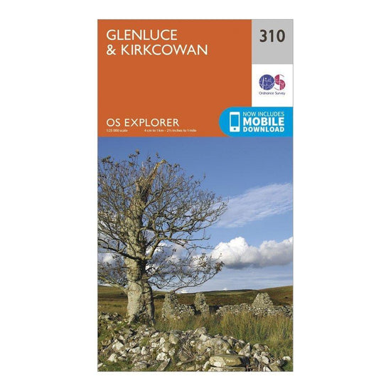
Ordnance Survey Explorer 310 Glenluce & Kirkcowan Map With Digital Version£7.80
£13.00(Save 40%)Size in stock : one size
-
-
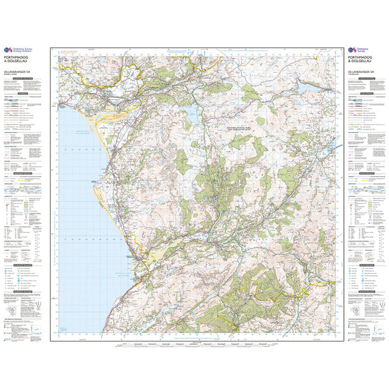
Ordnance Survey Landranger Active 124 Porthmadog & Dolgellau Map With Digital Version£10.20
£17.00(Save 40%)Size in stock : One Size
-
-
Ordnance Survey Landranger Active 172 Bristol & Bath, Thornbury & Chew Magna Map With Digital Version£10.20
£17.00(Save 40%)Size in stock : One Size
-
-
Ordnance Survey Landranger Active 134 Norwich & The Broads, Great Yarmouth Map With Digital Version£10.20
£17.00(Save 40%)Size in stock : One Size
-
-
Ordnance Survey Landranger Active 132 North West Norfolk, King's Lynn & Fakenham Map With Digital Version£10.20
£17.00(Save 40%)Size in stock : One Size
-
-
Ordnance Survey Landranger Active 123 Lleyn Peninsula Map With Digital Version£10.20
£17.00(Save 40%)Size in stock : One Size
-
-
Ordnance Survey Explorer Active 452 Barra & Vatersay Map With Digital Version£10.20
£17.00(Save 40%)Size in stock : One Size
-
-
Ordnance Survey Landranger 60 Islay Map With Digital Version£7.80
£13.00(Save 40%)Size in stock : One Size
-
-
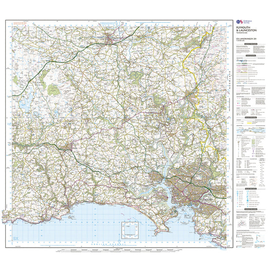
Ordnance Survey Landranger Active 201 Plymouth, Launceston, Tavistock & looe Map With Digital Version£10.20
£17.00(Save 40%)Size in stock : One Size
-
-
Ordnance Survey Landranger Active 156 Saxmundham, Aldeburgh & Southwold Map With Digital Version£10.20
£17.00(Save 40%)Size in stock : One Size
-
-
Ordnance Survey Landranger Active 104 Leeds & Bradford, Harrogate & Ilkley Map With Digital Version£10.20
£17.00(Save 40%)Size in stock : One Size
-
-
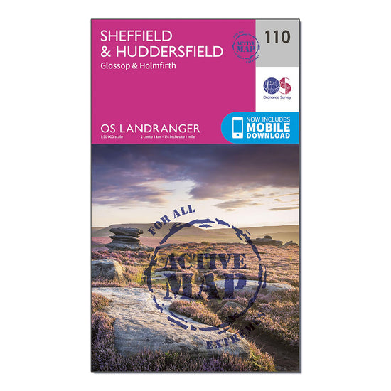
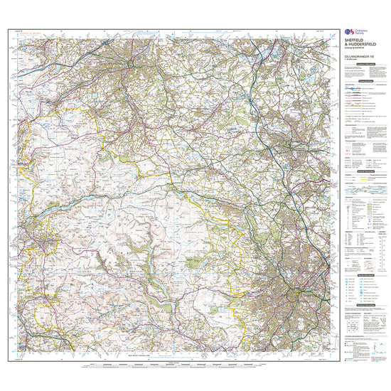
Ordnance Survey Landranger Active 110 Sheffield & Huddersfield, Glossop & Holmfirth Map With Digital Version£10.20
£17.00(Save 40%)Size in stock : One Size
-
-
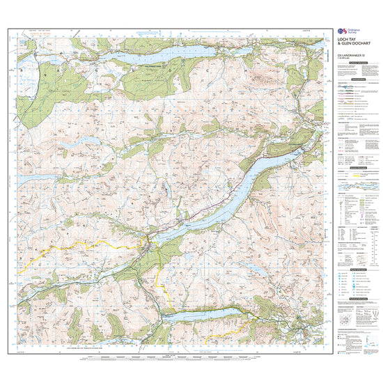
Ordnance Survey Landranger Active 51 Loch Tay & Glen Dochart Map With Digital Version£10.20
£17.00(Save 40%)Size in stock : One Size
-
-
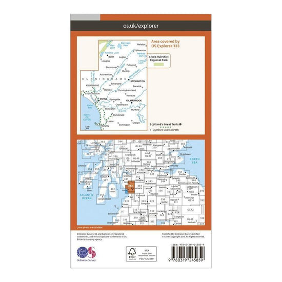
Ordnance Survey Explorer 333 Kilmarnock & Irvine Map With Digital Version£7.80
£13.00(Save 40%)Size in stock : One Size
-
-
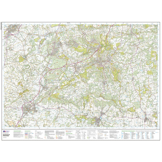
Ordnance Survey Explorer Active OL33 Haslemere & Petersfield Map With Digital Version£10.20
£17.00(Save 40%)Size in stock : One Size
-
-
Ordnance Survey Landranger Active 106 Market Weighton, Goole & Stamford Bridge Map With Digital Version£10.20
£17.00(Save 40%)Size in stock : One Size
-
-
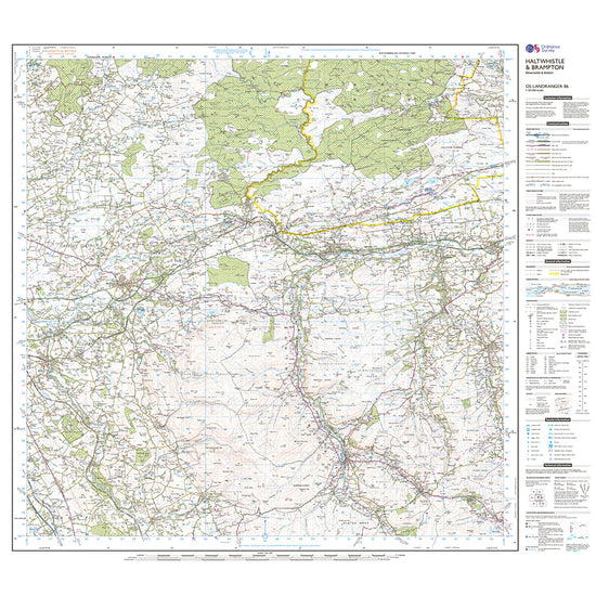
Ordnance Survey Landranger Active 86 Haltwhistle & Brampton, Bewcastle & Alston Map With Digital Version£10.20
£17.00(Save 40%)Size in stock : One Size
-
-
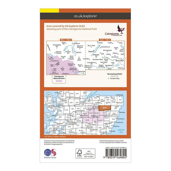
Ordnance Survey Explorer Active OL62 Coreen Hills & Glenlivet Map With Digital Version£10.20
£17.00(Save 40%)Size in stock : One Size
-
-
Ordnance Survey Landranger Active 197 Chichester & The South Downs Map With Digital Version£10.20
£17.00(Save 40%)Size in stock : One Size
-
-
Ordnance Survey Explorer 167 Thornbury, Dursley & Yate Active Map With Digital Version£10.20
£17.00(Save 40%)Size in stock : One Size
-
-
Ordnance Survey Explorer Active 391 Ardgour & Strontian Map With Digital Version£10.20
£17.00(Save 40%)Size in stock : One Size
-
-
Ordnance Survey Landranger Active 31 Barra & South Uist, Vatersay & Eriskay Map With Digital Version£10.20
£17.00(Save 40%)Size in stock : One Size
-
-
Ordnance Survey Landranger 66 Edinburgh, Penicuik & North Berwick Map With Digital Version£7.80
£13.00(Save 40%)Size in stock : One Size
-
-
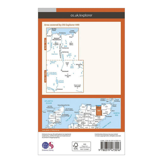
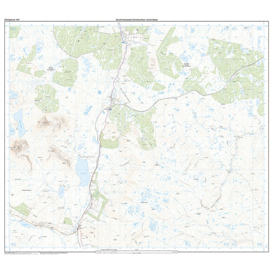
Ordnance Survey Explorer Active 449 Strath Halladale & Strathy Point Map With Digital Version£10.20
£17.00(Save 40%)Size in stock : One Size
-
-
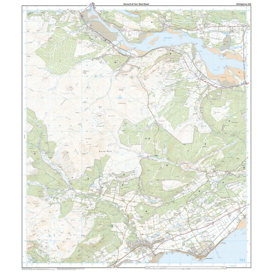
Ordnance Survey Explorer Active 483 Dornoch & Tain Map With Digital Version£10.20
£17.00(Save 40%)Size in stock : One Size
-
-
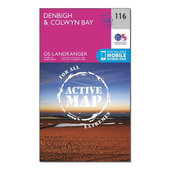
Ordnance Survey Landranger Active 116 Denbigh & Colwyn Bay Map With Digital Version£10.20
£17.00(Save 40%)Size in stock : One Size
-
-
Ordnance Survey Landranger Active 200 Newquay, Bodmin, Camelford & St Austell Map With Digital Version£10.20
£17.00(Save 40%)Size in stock : One Size
-


Showing 480 of 918 results
Maps have been used for centuries by hikers, walkers, campers, cyclists, families and adventurers, to unlock the terrain and new adventures. Ordnance Survey is the national mapping agency for Great Britain. Outdoor enthusiasts of all types use Ordnance Survey maps to reach viewpoints, navigate the landscape and discover new places to explore. Traditional paper maps provide outstanding detail of the terrain and allows you to see the routes, landmarks and trails. Ordnance Survey have a varied collection of maps which cover Great Britain, with their active range popular on wet UK adventures. Prefer to go digital? Ordnance Survey also has a range of options for GPS devices and smartphones allowing you to plot your map and see on your device the route ahead.