
Showing 672 of 918 results
-
-
-
-
-
-
-
-
-
-
-
-
-
-
-
-
-
-
-
-
-
-
-
-
-
-
-
-
-
-
-
-
-
-
-
-
-
-
-
-
-
-
-
-
-
-
-
-
-
-
-
-
-
-
-
-
-
-
-
-
-
-
-
-
-
-
-
-
-
-
-
-
-
-
-
-
-
-
-
-
-
-
-
-
-
-
-
-
-
-
-
-
-
-
-
-
-
-
-
-
-
-
-
-
-
-
-
-
-
-
-
-
-
-
-
-
-
-
-
-
-
-
-
-
-
-
-
-
-
-
-
-
-
-
-
-
-
-
-
-
-
-
-
-
-
-
-
-
-
-
-
-
-
-
-
-
-
-
-
-
-
-
-
-
-
-
-
-
-
-
-
-
-
-
-
-
-
-
-
-
-
-
-
-
-
-
-
-
-
-
-
-
-
-
-
-
-
-
-
-
-
-
-
-
-
-
-
-
-
-
-
-
-
-
-
-
-
-
-
-
-
-
-
-
-
-
-
-
-
-
-
-
-
-
-
-
-
-
-
-
-
-
-
-
-
-
-
-
-
-
-
-
-
-
-
-
-
-
-
-
-
-
-
-
-
-
-
-
-
-
-
-
-
-
-
-
-
-
-
-
-
-
-
-
-
-
-
-
-
-
-
-
-
-
-
-
-
-
-
-
-
-
-
-
-
-
-
-
-
-
-
-
-
-
-
-
-
-
-
-
-
-
-
-
-
-
-
-
-
-
-
-
-
-
-
-
-
-
-
-
-
-
-
-
-
-
-
-
-
-
-
-
-
-
-
-
-
-
-
-
-
-
-
-
-
-
-
-
-
-
-
-
-
-
-
-
-
-
-
-
-
-
-
-
-
-
-
-
-
-
-
-
-
-
-
-
-
-
-
-
-
-
-
-
-
-
-
-
-
-
-
-
-
-
-
-
-
-
-
-
-
-
-
-
-
-
-
-
-
-
-
-
-
-
-
-
-
-
-
-
-
-
-
-
-
-
-
-
-
-
-
-
-
-
-
-
-
-
-
-
-
-
-
-
-
-
-
-
-
-
-
-
-
-
-
-
-
-
-
-
-
-
-
-
-
-
-
-
-
-
-
-
-
-
-
-
-
-
-
-
-
-
-
-
-
-
-
-
-
-
-
-
-
-
-
-
-
-
-
-
-
-
-
-
-
-
-
-
-
-
-
-
-
-
-
-
-
-
-
-
-
-
-
-
-
-
-
-
-
-
-
-
-
-
-
-
-
-
-
-
-
-
-
-
-
-
-
-
-
-
-
-
-
-
-
-
-
-
-
-
-
-
-
-
-
-
-
-
-
-
-
-
-
-
-
-
-
-
-
-
-
-
-
-
-
-
-
-
-
-
-
-
-
-
-
-
-
-
-
-
-
-
-
-
-
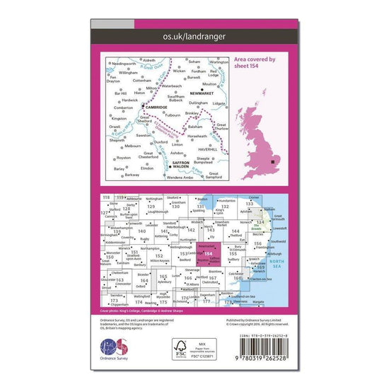
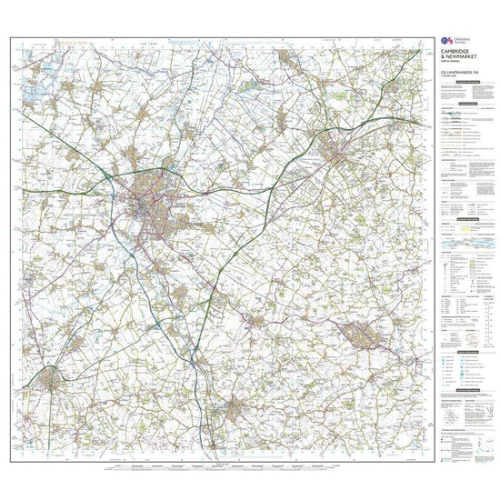
 Ordnance Survey Landranger 154 Cambridge & Newmarket, Saffron Walden Map With Digital Version£7.80
£13.00(Save 40%)Size in stock : One Size
-
-
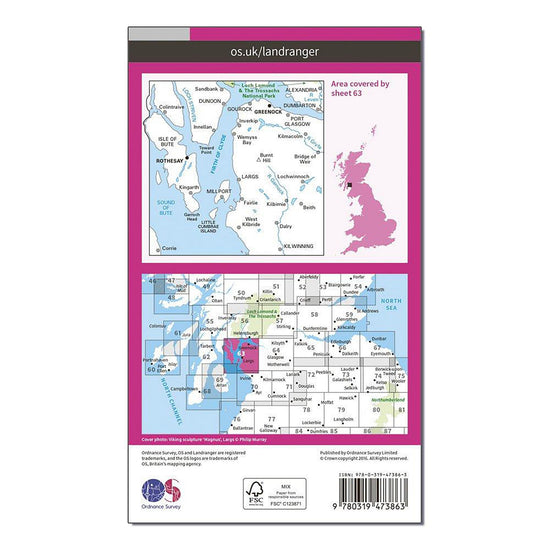
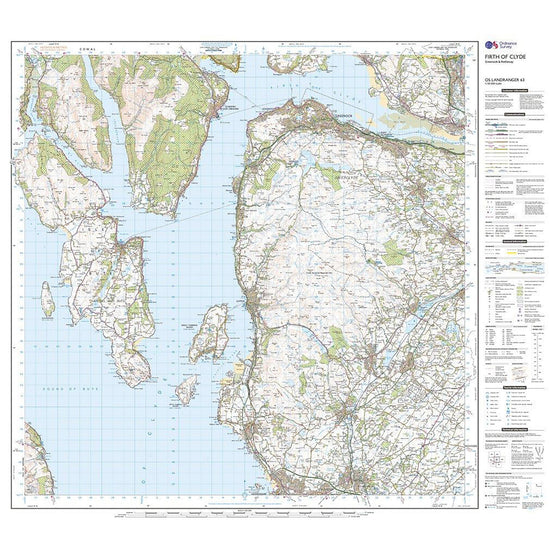
 Ordnance Survey Landranger Active 63 Firth of Clyde, Greenock & Rothesay Map With Digital Version£10.20
£17.00(Save 40%)Size in stock : One Size
-
-
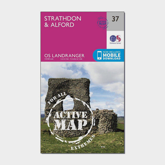
 Ordnance Survey Landranger 37 Strathdon & Alford Map With Digital Version£7.80
£13.00(Save 40%)Size in stock : One Size
-
-
 Ordnance Survey Landranger 185 Winchester & Basingstoke, Andover & Romsey Map With Digital Version£7.80
£13.00(Save 40%)Size in stock : One Size
-
-
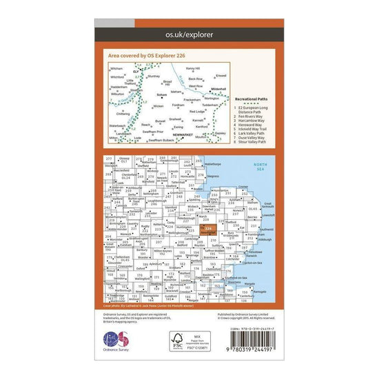
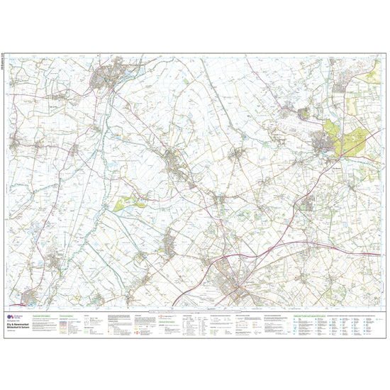
 Ordnance Survey Explorer 226 Ely & Newmarket Map With Digital Version£7.80
£13.00(Save 40%)Size in stock : One Size
-
-
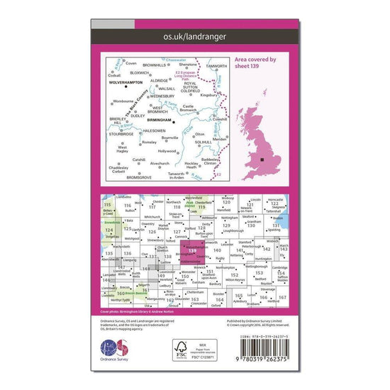
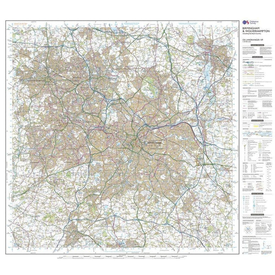
 Ordnance Survey Landranger 139 Birmingham & Wolverhampton Map With Digital Version£7.80
£13.00(Save 40%)Size in stock : One Size
-
-
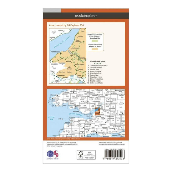
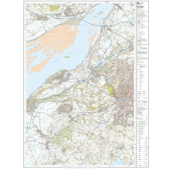
 Ordnance Survey Explorer 154 Bristol West & Portishead Map With Digital Version£7.80
£13.00(Save 40%)Size in stock : One Size
-
-
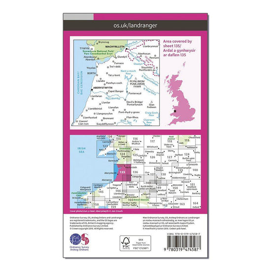
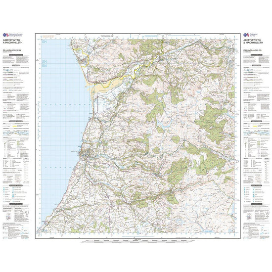
 Ordnance Survey Landranger Active 135 Aberystwyth & Machynlleth Map With Digital Version£10.20
£17.00(Save 40%)Size in stock : One Size
-
-
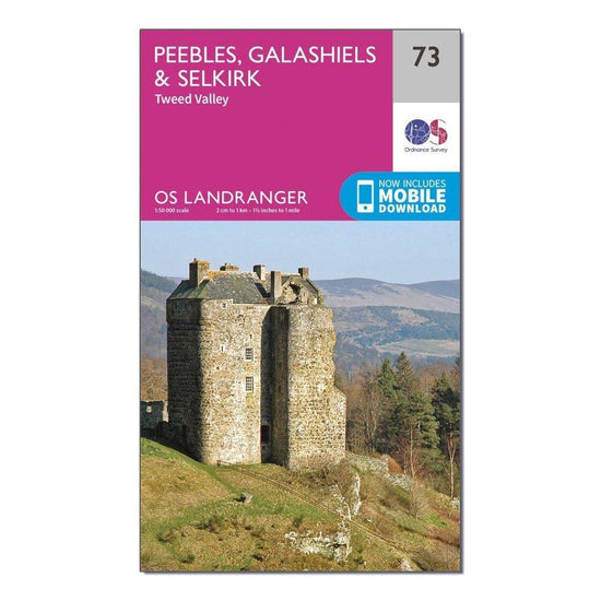
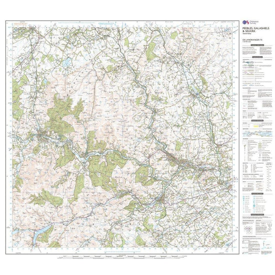
 Ordnance Survey Landranger 73 Peebles, Galashiels & Selkirk, Tweed Valley Map With Digital Version£7.80
£13.00(Save 40%)Size in stock : One Size
-
-
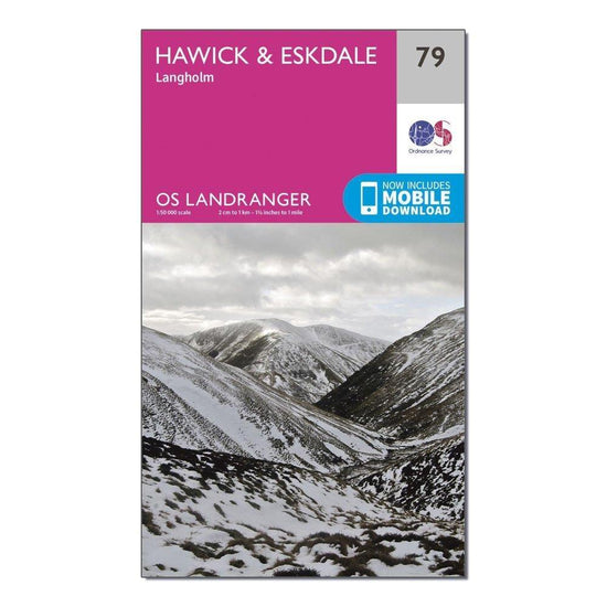
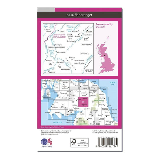
Ordnance Survey Landranger 79 Hawick & Eskdale, Langholm Map With Digital Version£7.80
£13.00(Save 40%)Size in stock : One Size
-
-
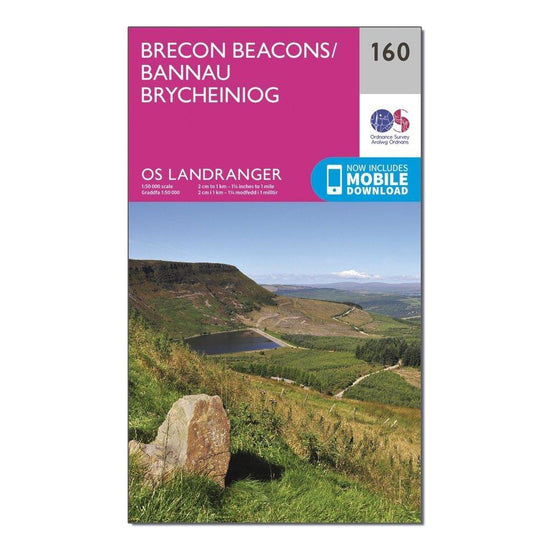
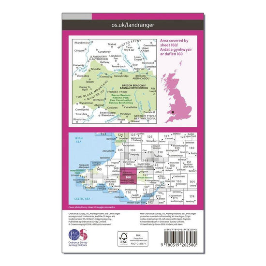
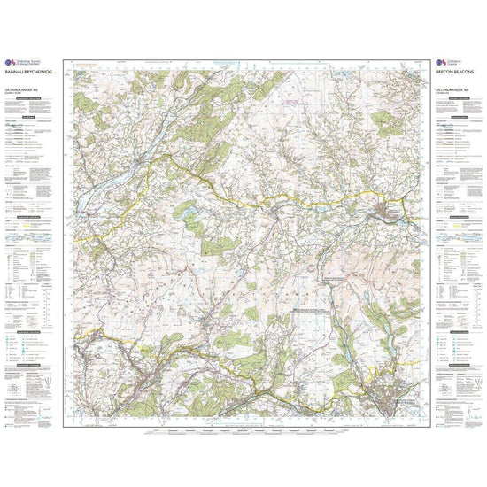
Ordnance Survey Landranger 160 Brecon Beacons Map With Digital Version£7.80
£13.00(Save 40%)Size in stock : One Size
-
-
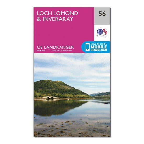
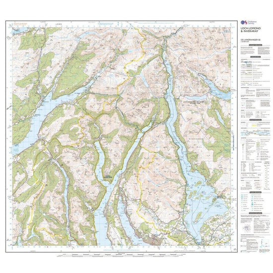
Ordnance Survey Landranger 56 Loch Lomond & Inveraray Map With Digital Version£7.80
£13.00(Save 40%)Size in stock : One Size
-
-
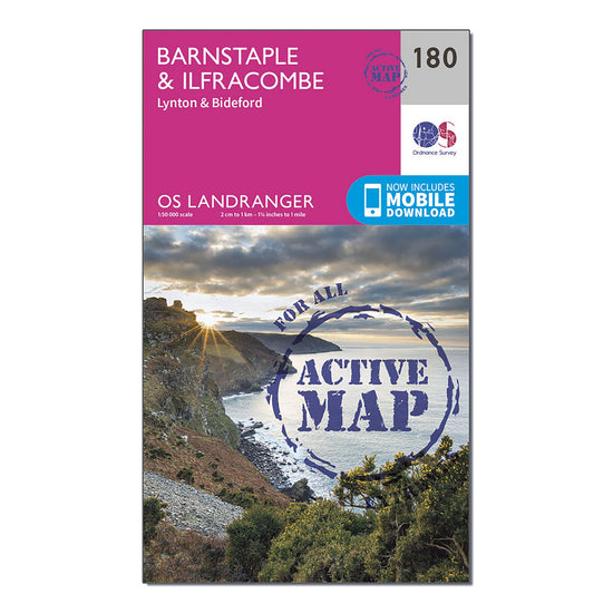
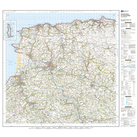
Ordnance Survey Landranger Active 180 Barnstaple & Ilfracombe, Lynton & Bideford Map With Digital Version£10.20
£17.00(Save 40%)Size in stock : One Size
-
-
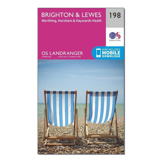
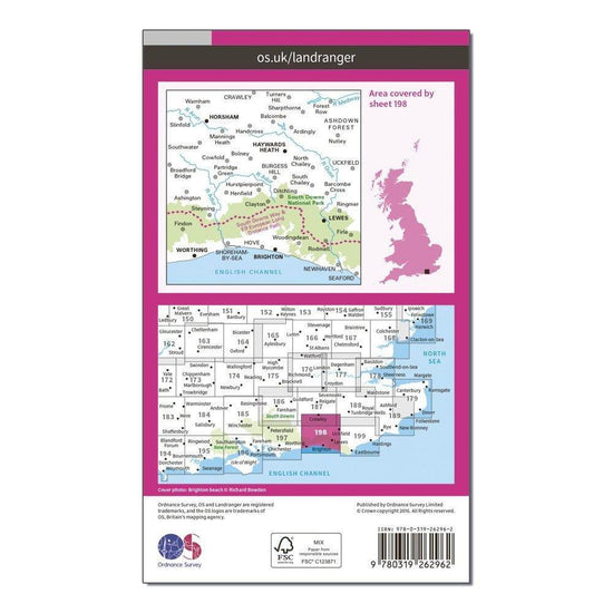
Ordnance Survey Landranger 198 Brighton & Lewes, Haywards Heath Map With Digital Version£7.80
£13.00(Save 40%)Size in stock : One Size
-
-
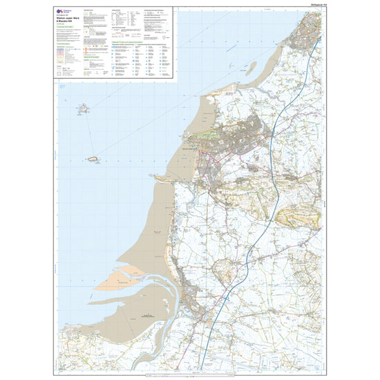
Ordnance Survey Explorer 153 Weston-Super-Mare & Bleadon Hill Map With Digital Version£7.80
£13.00(Save 40%)Size in stock : One Size
-
-
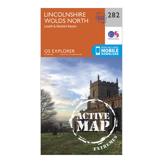
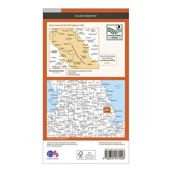
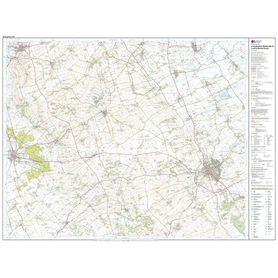
Ordnance Survey Explorer Active 282 Lincolnshire Wolds North Map With Digital Version£10.20
£17.00(Save 40%)Size in stock : One Size
-
-
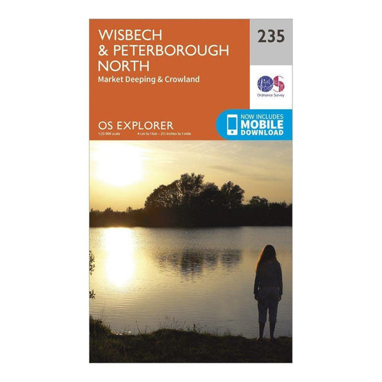
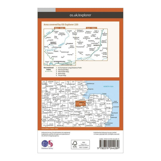
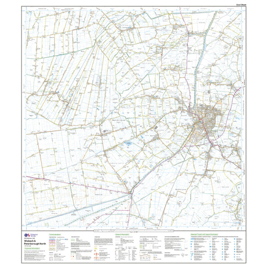
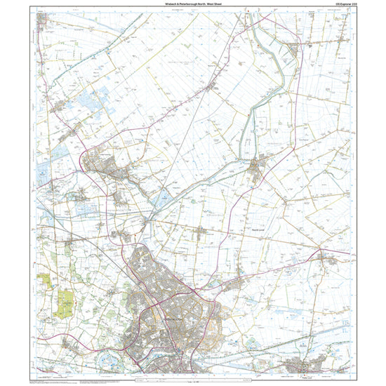
Ordnance Survey Explorer 235 Wisbech & Peterborough North Map With Digital Version£7.80
£13.00(Save 40%)Size in stock : One Size
-
-
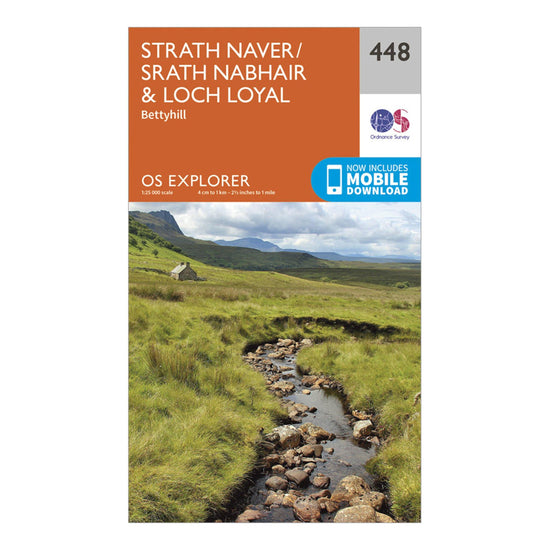
Ordnance Survey Explorer 448 Strath Naver & Loch Loyal Map With Digital Version£7.80
£13.00(Save 40%)Size in stock : One Size
-
-
Ordnance Survey Landranger Active 37 Strathdon & Alford Map With Digital Version£10.20
£17.00(Save 40%)Size in stock : One Size
-
-
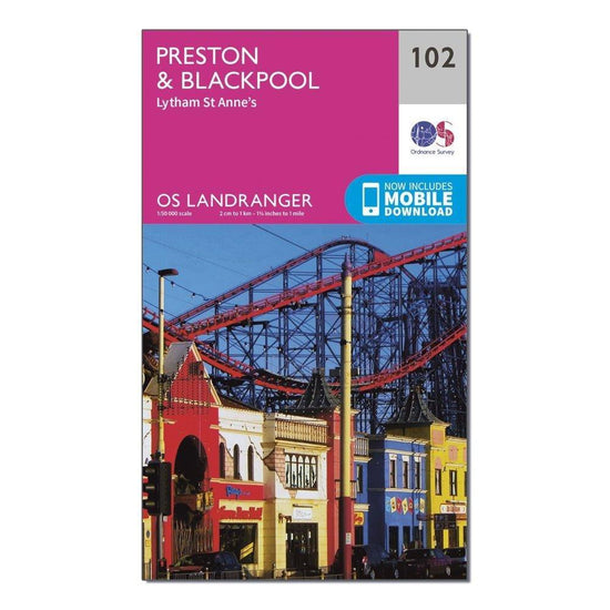
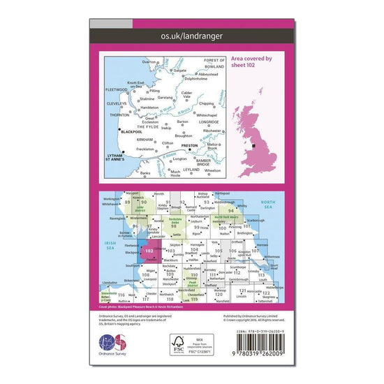
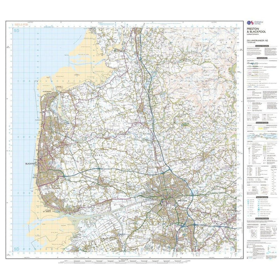
Ordnance Survey Landranger 102 Preston & Blackpool, Lytham Map With Digital Version£7.80
£13.00(Save 40%)Size in stock : One Size
-
-
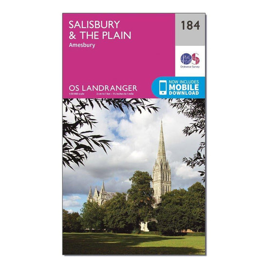
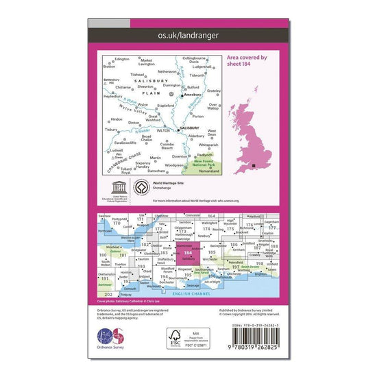
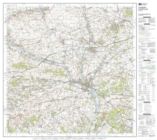
Ordnance Survey Landranger 184 Salisbury & The Plain, Amesbury Map With Digital Version£7.80
£13.00(Save 40%)Size in stock : One Size
-
-
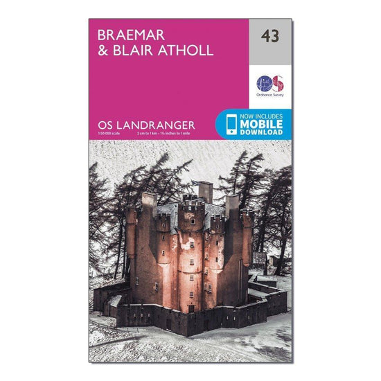
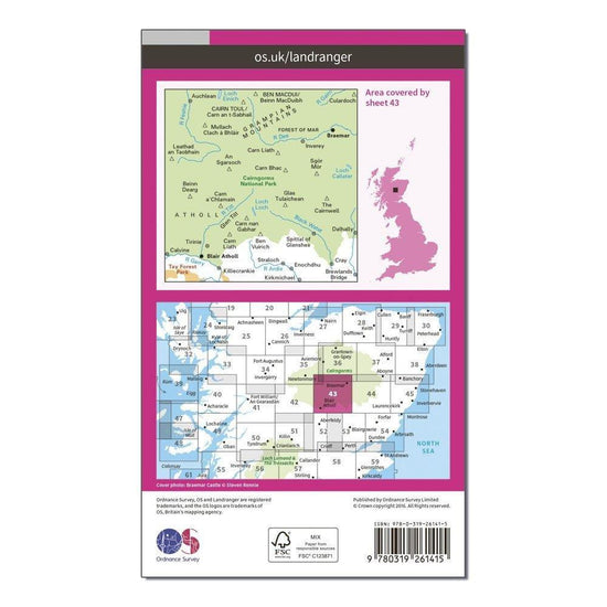
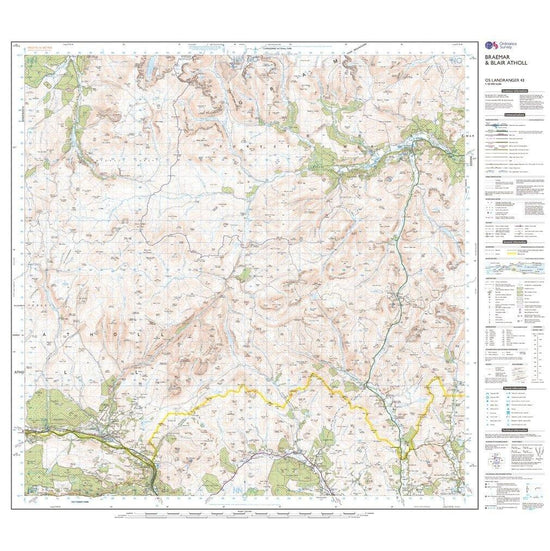
Ordnance Survey Landranger 43 Braemar & Blair Atholl Map With Digital Version£7.80
£13.00(Save 40%)Size in stock : One Size
-
-
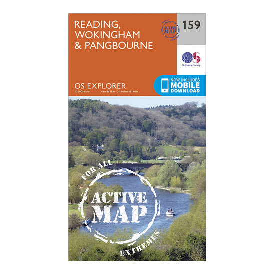
Ordnance Survey Explorer Active 159 Reading, Wokingshire & Pangbourne Map With Digital Version£10.20
£17.00(Save 40%)Size in stock : One Size
-
-
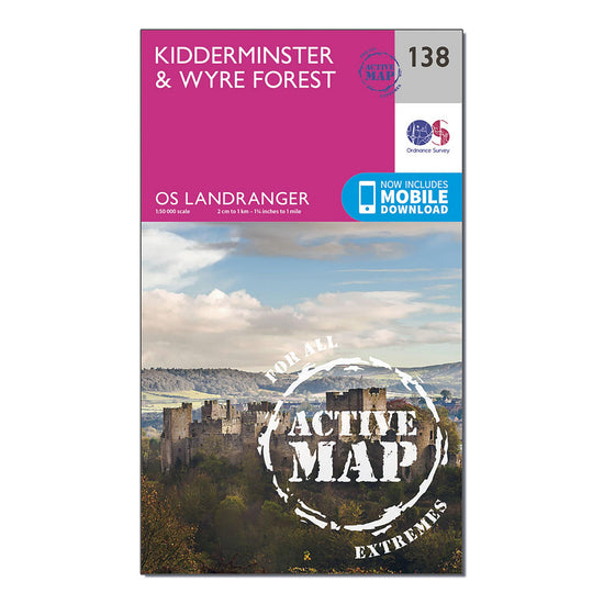
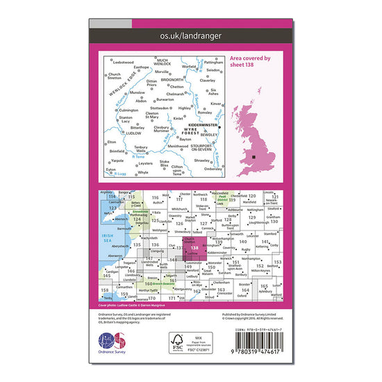
Ordnance Survey Landranger Active 138 Kidderminster & Wyre Forest Map With Digital Version£10.20
£17.00(Save 40%)Size in stock : One Size
-
-
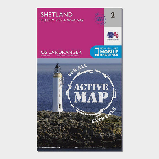
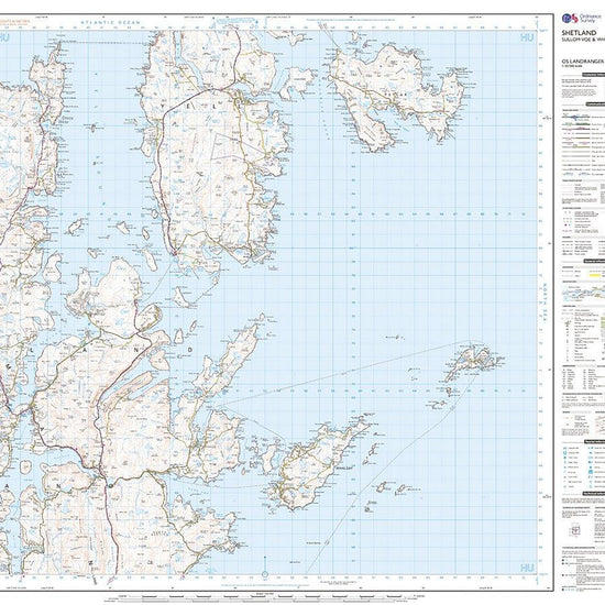
Ordnance Survey Landranger Active 2 Shetland Sullom Voe & Whalsay Map With Digital Version£10.20
£17.00(Save 40%)Size in stock : One Size
-
-
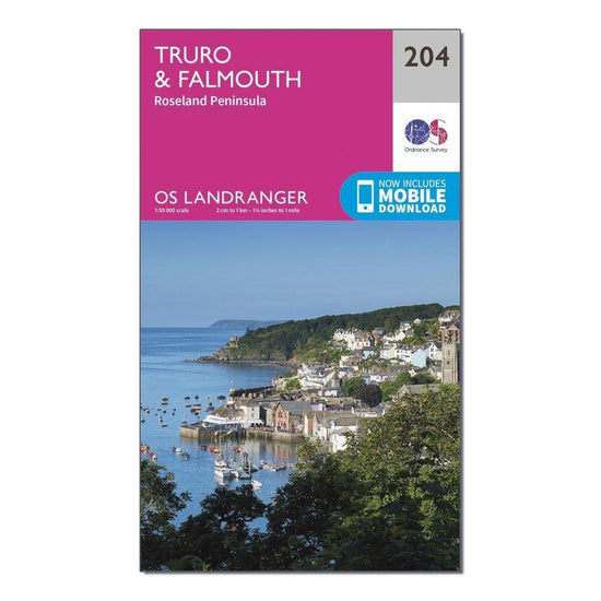
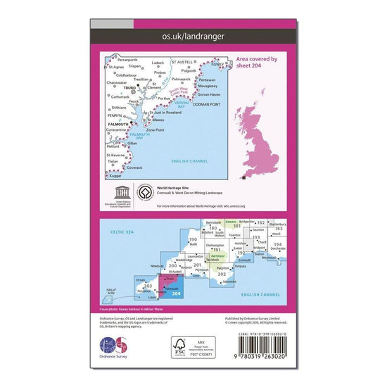
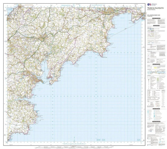
Ordnance Survey OS Landranger 204 Truro & Falmouth, Roseland Peninsula Map£7.80
£13.00(Save 40%)Size in stock : One Size
-
-
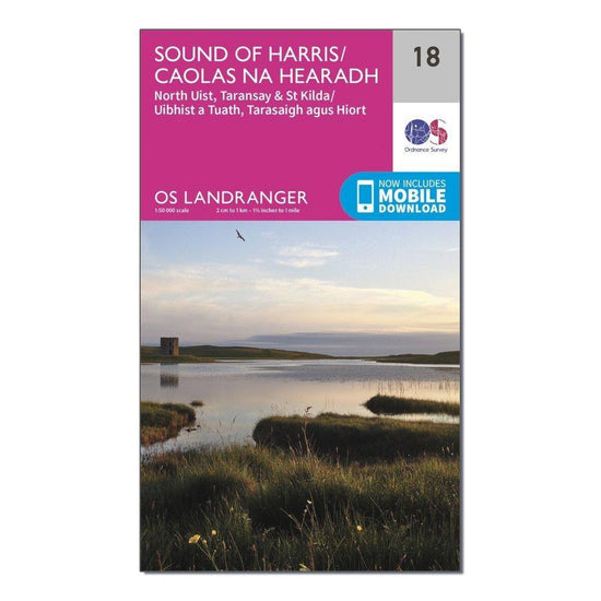
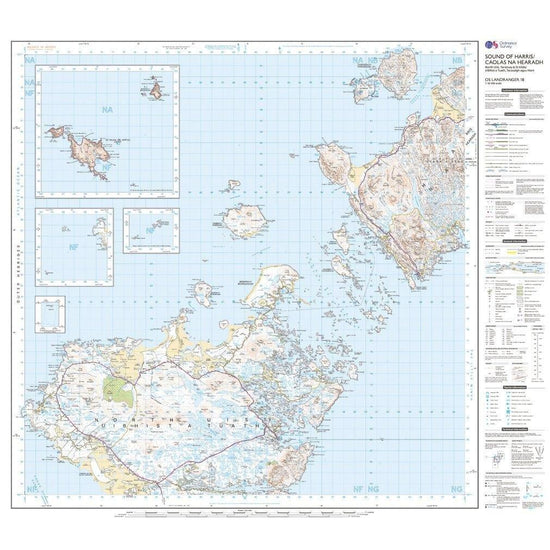
Ordnance Survey Landranger 18 Sound of Harris, North Uist, Taransay & St Kilda Map With Digital Version£7.80
£13.00(Save 40%)Size in stock : One Size
-
-
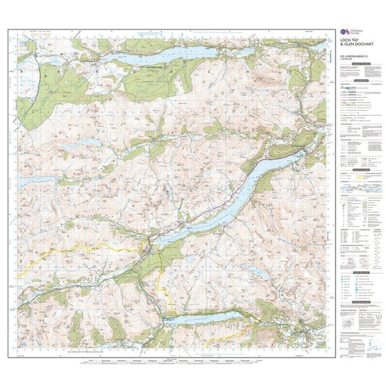
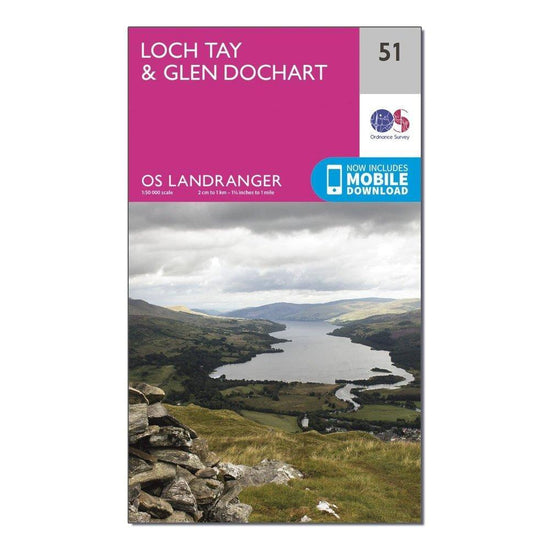
Ordnance Survey Landranger 51 Loch Tay & Glen Dochart Map With Digital Version£7.80
£13.00(Save 40%)Size in stock : One Size
-
-
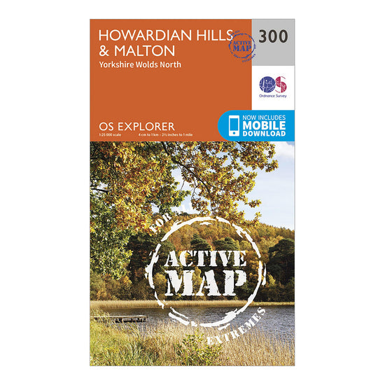
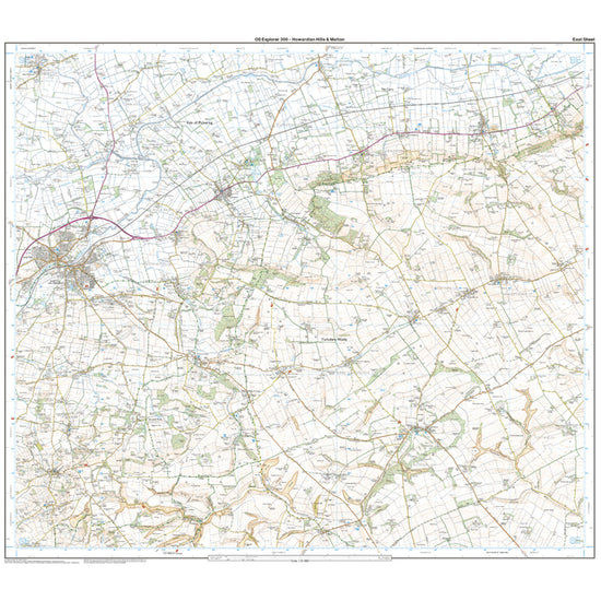
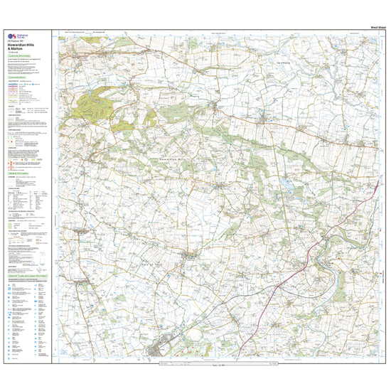
Ordnance Survey Explorer Active 300 Howardian Hills & Malton Map With Digital Version£10.20
£17.00(Save 40%)Size in stock : One Size
-
-
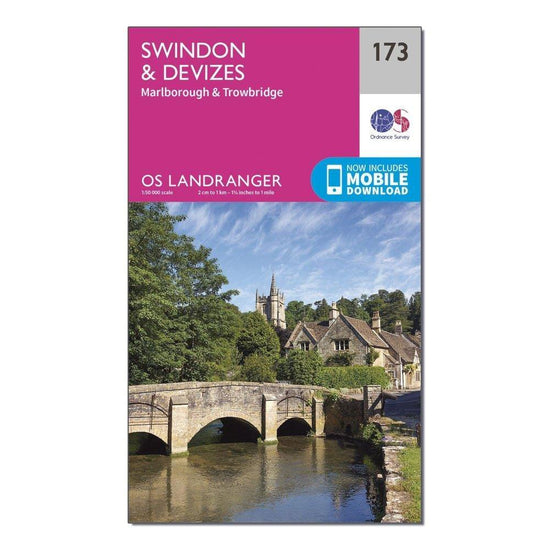
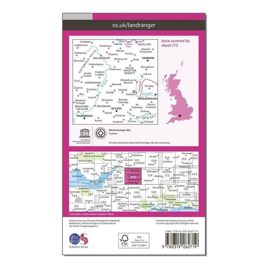
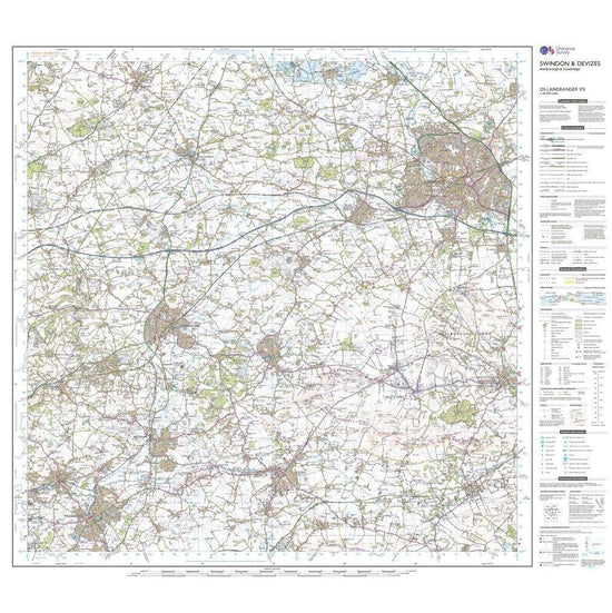
Ordnance Survey Landranger 173 Swindon & Devizes, Marlborough & Trowbridge Map With Digital Version£7.80
£13.00(Save 40%)Size in stock : One Size
-
-
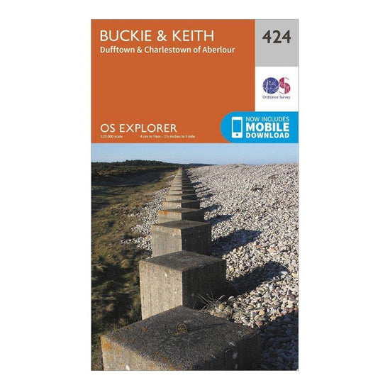
Ordnance Survey Explorer 424 Buckie & Keith Map With Digital Version£7.80
£13.00(Save 40%)Size in stock : One Size
-
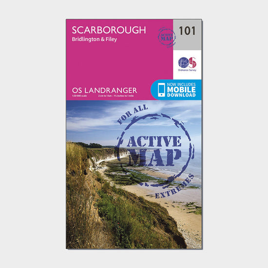
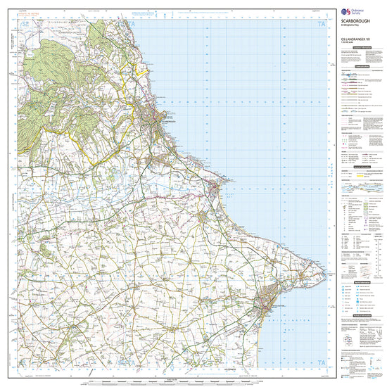
Ordnance Survey Landranger Active 101 Scarborough, Bridlington & Filey Map With Digital Version£10.20
£17.00(Save 40%)Size in stock : One Size
-
-
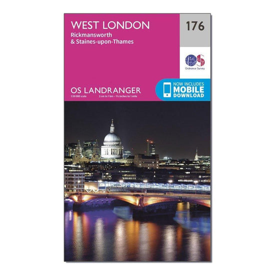
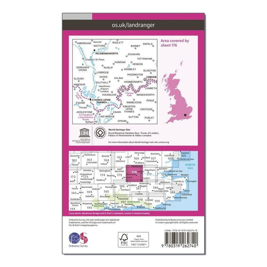
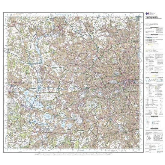
Ordnance Survey Landranger 176 West London, Rickmansworth & Staines Map With Digital Version£7.80
£13.00(Save 40%)Size in stock : One Size
-
-
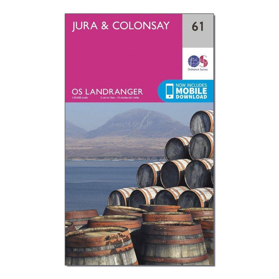
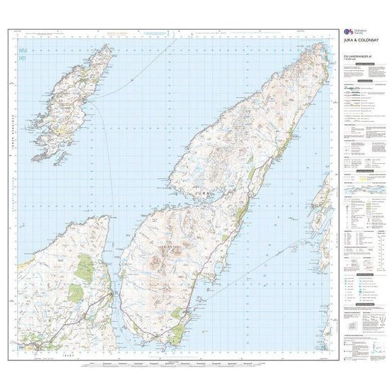
Ordnance Survey Landranger 61 Jura & Colonsay Map With Digital Version£7.80
£13.00(Save 40%)Size in stock : One Size
-
-
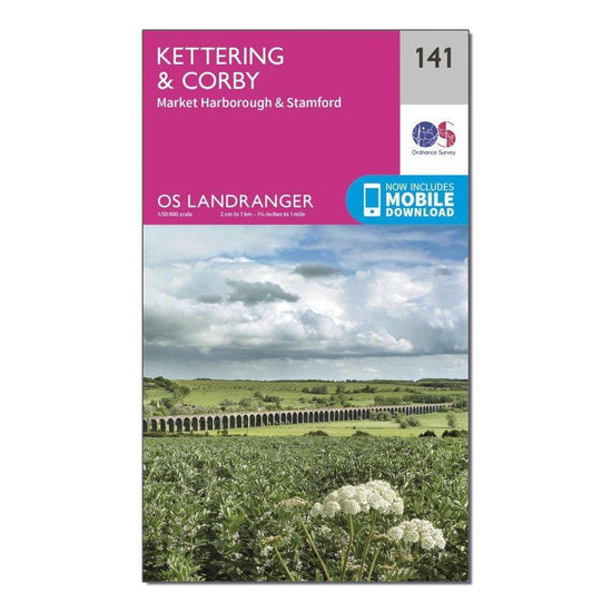
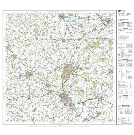
Ordnance Survey Landranger 141 Kettering & Corby Map With Digital Version£7.80
£13.00(Save 40%)Size in stock : One Size
-
-
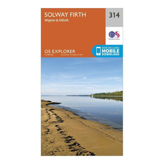
Ordnance Survey Explorer 314 Solway Firth Map With Digital Version£7.80
£13.00(Save 40%)Size in stock : One Size
-
-
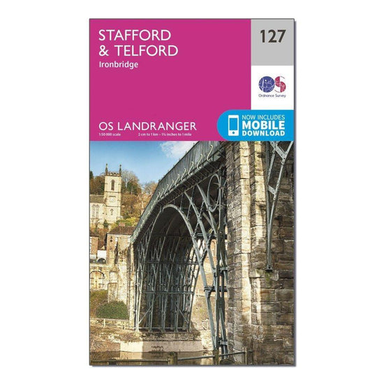
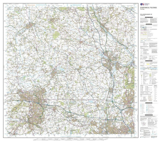
Ordnance Survey Landranger 127 Stafford & Telford, Ironbridge Map With Digital Version£7.80
£13.00(Save 40%)Size in stock : One Size
-
-
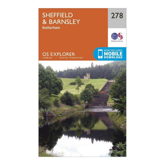
Ordnance Survey Explorer 278 Sheffield & Barnsley Map With Digital Version£7.80
£13.00(Save 40%)Size in stock : One Size
-
-
Ordnance Survey Explorer 305 Bishop Auckland Map With Digital Version£7.80
£13.00(Save 40%)Size in stock : One Size
-
-
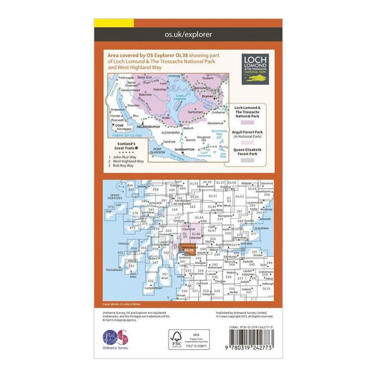
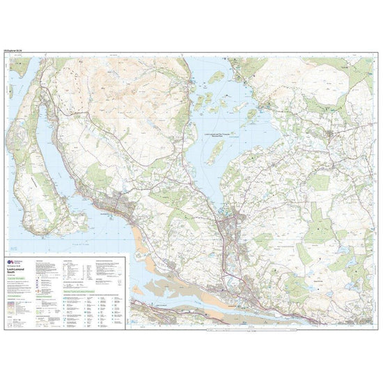
Ordnance Survey Explorer OL38 Loch Lomond South Map With Digital Version£7.80
£13.00(Save 40%)Size in stock : One Size
-
-
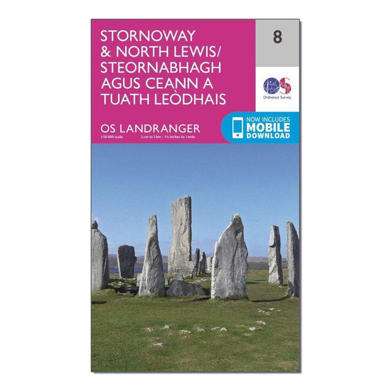
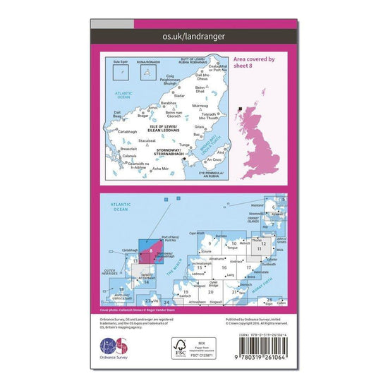
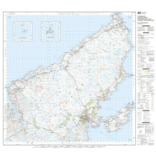
Ordnance Survey Landranger 8 Stornaway & North Lewis Map With Digital Version£7.80
£13.00(Save 40%)Size in stock : One Size
-
-
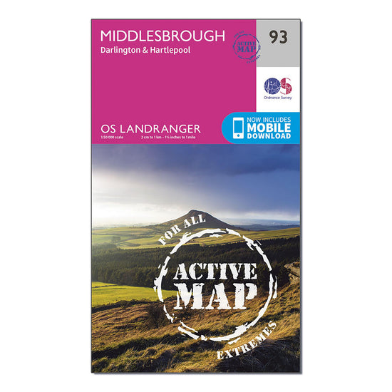
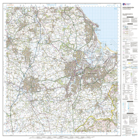
Ordnance Survey Landranger Active 93 Middlesbrough, Darlington & Hartlepool Map With Digital Version£10.20
£17.00(Save 40%)Size in stock : One Size
-
-
Ordnance Survey Landranger 31 Barra & South Uist, Vatersay & Eriskay Map With Digital Version£7.80
£13.00(Save 40%)Size in stock : One Size
-
-
Ordnance Survey Landranger 17 Helmsdale & Strath of Kildonan Map With Digital Version£7.80
£13.00(Save 40%)Size in stock : One Size
-
-
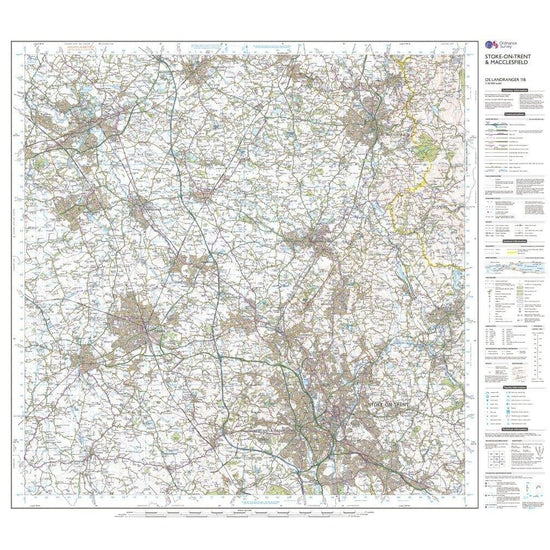
Ordnance Survey Landranger 118 Stoke-on-Trent & Macclesfield Map With Digital Version£7.80
£13.00(Save 40%)Size in stock : One Size
-
-
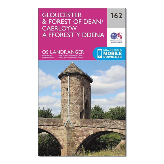
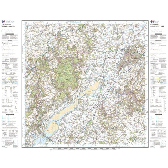
Ordnance Survey Landranger 162 Gloucester & Forest of Dean Map With Digital Version£7.80
£13.00(Save 40%)Size in stock : One Size
-
-
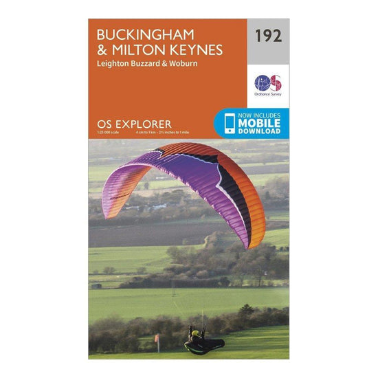
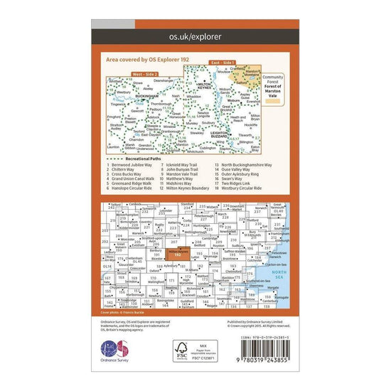
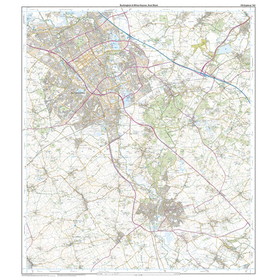
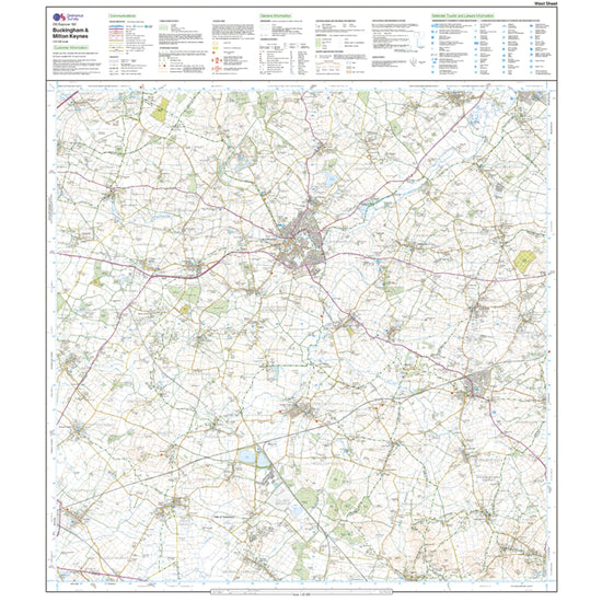
Ordnance Survey Explorer 192 Buckingham & Milton Keynes Map With Digital Version£7.80
£13.00(Save 40%)Size in stock : One Size
-
-
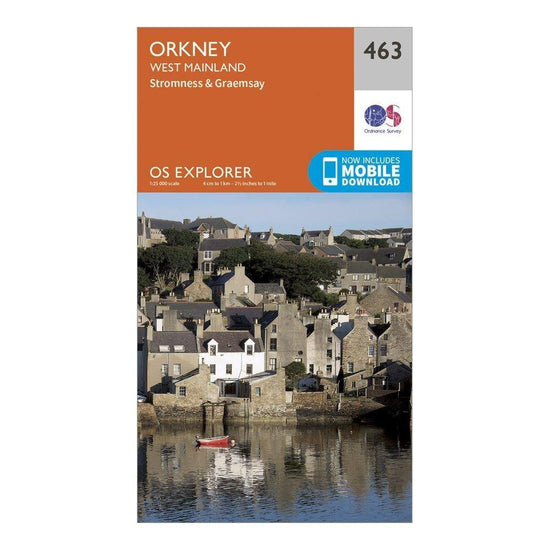
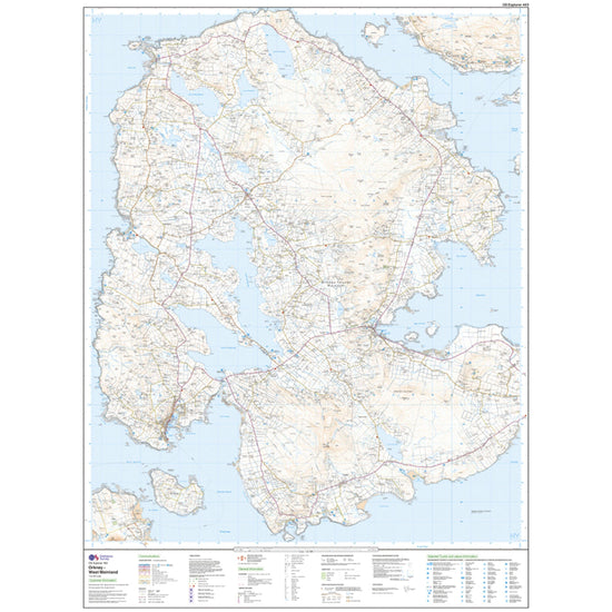
Ordnance Survey Explorer 463 Orkney – West Mainland Map With Digital Version£7.80
£13.00(Save 40%)Size in stock : One Size
-


Showing 672 of 918 results
Maps have been used for centuries by hikers, walkers, campers, cyclists, families and adventurers, to unlock the terrain and new adventures. Ordnance Survey is the national mapping agency for Great Britain. Outdoor enthusiasts of all types use Ordnance Survey maps to reach viewpoints, navigate the landscape and discover new places to explore. Traditional paper maps provide outstanding detail of the terrain and allows you to see the routes, landmarks and trails. Ordnance Survey have a varied collection of maps which cover Great Britain, with their active range popular on wet UK adventures. Prefer to go digital? Ordnance Survey also has a range of options for GPS devices and smartphones allowing you to plot your map and see on your device the route ahead.