
Showing 720 of 918 results
-
-
-
-
-
-
-
-
-
-
-
-
-
-
-
-
-
-
-
-
-
-
-
-
-
-
-
-
-
-
-
-
-
-
-
-
-
-
-
-
-
-
-
-
-
-
-
-
-
-
-
-
-
-
-
-
-
-
-
-
-
-
-
-
-
-
-
-
-
-
-
-
-
-
-
-
-
-
-
-
-
-
-
-
-
-
-
-
-
-
-
-
-
-
-
-
-
-
-
-
-
-
-
-
-
-
-
-
-
-
-
-
-
-
-
-
-
-
-
-
-
-
-
-
-
-
-
-
-
-
-
-
-
-
-
-
-
-
-
-
-
-
-
-
-
-
-
-
-
-
-
-
-
-
-
-
-
-
-
-
-
-
-
-
-
-
-
-
-
-
-
-
-
-
-
-
-
-
-
-
-
-
-
-
-
-
-
-
-
-
-
-
-
-
-
-
-
-
-
-
-
-
-
-
-
-
-
-
-
-
-
-
-
-
-
-
-
-
-
-
-
-
-
-
-
-
-
-
-
-
-
-
-
-
-
-
-
-
-
-
-
-
-
-
-
-
-
-
-
-
-
-
-
-
-
-
-
-
-
-
-
-
-
-
-
-
-
-
-
-
-
-
-
-
-
-
-
-
-
-
-
-
-
-
-
-
-
-
-
-
-
-
-
-
-
-
-
-
-
-
-
-
-
-
-
-
-
-
-
-
-
-
-
-
-
-
-
-
-
-
-
-
-
-
-
-
-
-
-
-
-
-
-
-
-
-
-
-
-
-
-
-
-
-
-
-
-
-
-
-
-
-
-
-
-
-
-
-
-
-
-
-
-
-
-
-
-
-
-
-
-
-
-
-
-
-
-
-
-
-
-
-
-
-
-
-
-
-
-
-
-
-
-
-
-
-
-
-
-
-
-
-
-
-
-
-
-
-
-
-
-
-
-
-
-
-
-
-
-
-
-
-
-
-
-
-
-
-
-
-
-
-
-
-
-
-
-
-
-
-
-
-
-
-
-
-
-
-
-
-
-
-
-
-
-
-
-
-
-
-
-
-
-
-
-
-
-
-
-
-
-
-
-
-
-
-
-
-
-
-
-
-
-
-
-
-
-
-
-
-
-
-
-
-
-
-
-
-
-
-
-
-
-
-
-
-
-
-
-
-
-
-
-
-
-
-
-
-
-
-
-
-
-
-
-
-
-
-
-
-
-
-
-
-
-
-
-
-
-
-
-
-
-
-
-
-
-
-
-
-
-
-
-
-
-
-
-
-
-
-
-
-
-
-
-
-
-
-
-
-
-
-
-
-
-
-
-
-
-
-
-
-
-
-
-
-
-
-
-
-
-
-
-
-
-
-
-
-
-
-
-
-
-
-
-
-
-
-
-
-
-
-
-
-
-
-
-
-
-
-
-
-
-
-
-
-
-
-
-
-
-
-
-
-
-
-
-
-
-
-
-
-
-
-
-
-
-
-
-
-
-
-
-
-
-
-
-
-
-
-
-
-
-
-
-
-
-
-
-
-
-
-
-
 Ordnance Survey Landranger 58 Perth & Alloa, Auchterarder Map With Digital Version£7.80
£13.00(Save 40%)Size in stock : One Size
-
-
 Ordnance Survey Explorer Active 277 Manchester & Salford Map With Digital Version£10.20
£17.00(Save 40%)Size in stock : One Size
-
-
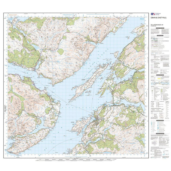
 Ordnance Survey Landranger Active 49 Oban & East Mull Map With Digital Version£10.20
£17.00(Save 40%)Size in stock : One Size
-
-
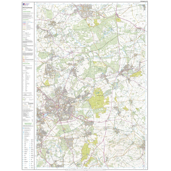
 Ordnance Survey Explorer 270 Sherwood Forest Map With Digital Version£7.80
£13.00(Save 40%)Size in stock : One Size
-
-
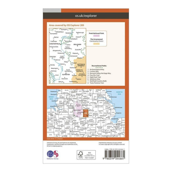
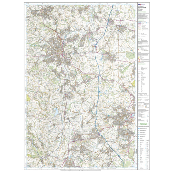
 Ordnance Survey Explorer 269 Chesterfield & Alfreton Map With Digital Version£7.80
£13.00(Save 40%)Size in stock : One Size
-
-
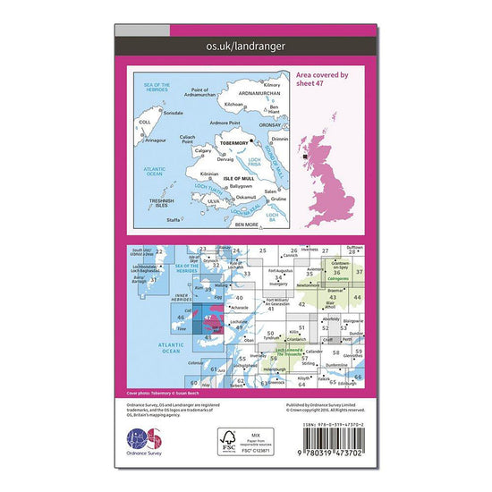
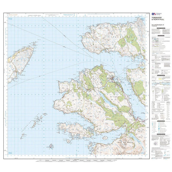
 Ordnance Survey Landranger Active 47 Tobermory & North Mull Map With Digital Version£10.20
£17.00(Save 40%)Size in stock : One Size
-
-
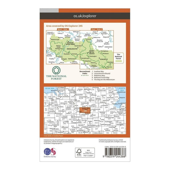
 Ordnance Survey Explorer 245 The National Forest Map With Digital Version£7.80
£13.00(Save 40%)Size in stock : One Size
-
-
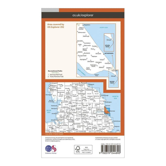
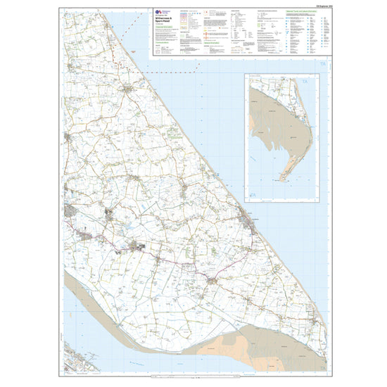
 Ordnance Survey Explorer 292 Withernsea & Spurn Head Map With Digital Version£7.80
£13.00(Save 40%)Size in stock : One Size
-
-
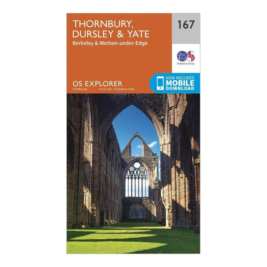
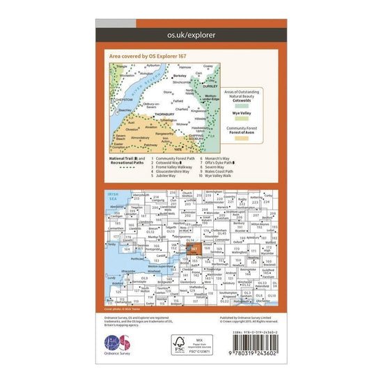
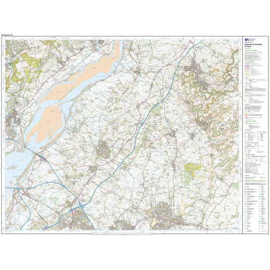
 Ordnance Survey Explorer 167 Thornbury, Dursley & Yate Map With Digital Version£7.80
£13.00(Save 40%)Size in stock : One Size
-
-
Ordnance Survey Landranger Active 195 Bournemouth & Purbeck, Wimborne Minster & Ringwood Map With Digital Version£10.20
£17.00(Save 40%)Size in stock : One Size
-
-
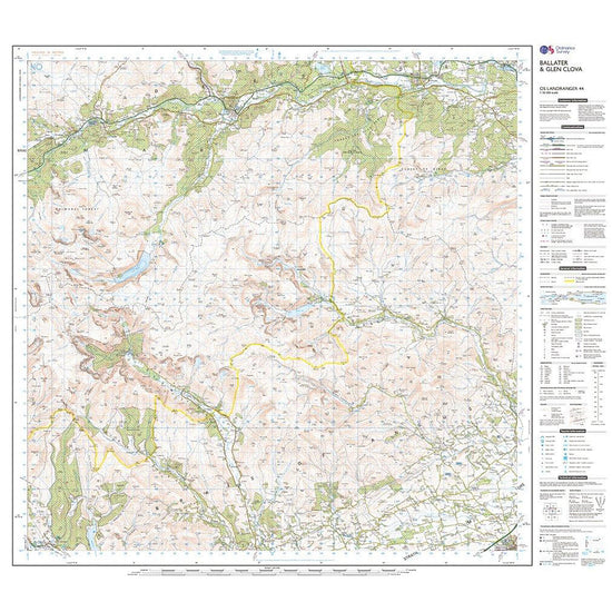
Ordnance Survey Landranger Active 44 Ballater & Glen Clova Map With Digital Version£10.20
£17.00(Save 40%)Size in stock : One Size
-
-
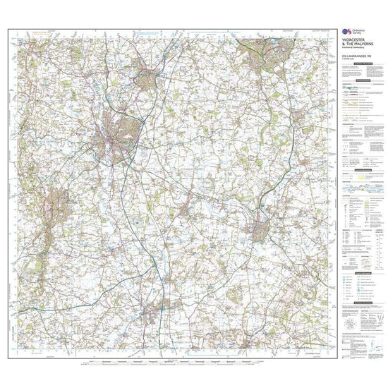
Ordnance Survey Landranger 150 Worcester & The Malverns, Evesham & Tewkesbury Map With Digital Version£7.80
£13.00(Save 40%)Size in stock : One Size
-
-
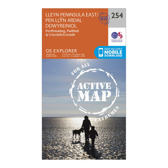
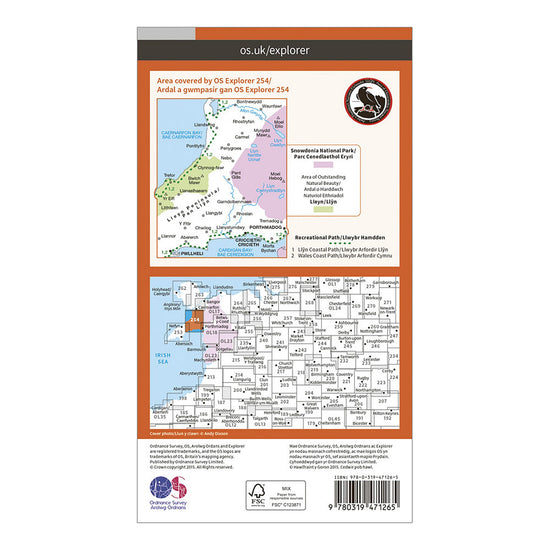
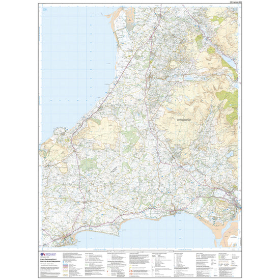
Ordnance Survey Explorer Active 254 Lleyn Peninsula East Map With Digital Version£10.20
£17.00(Save 40%)Size in stock : One Size
-
-
Ordnance Survey Landranger 177 East London, Billericay & Gravesend Map With Digital Version£7.80
£13.00(Save 40%)Size in stock : One Size
-
-
Ordnance Survey Explorer 443 Ben Klibreck & Ben Armine Map With Digital Version£7.80
£13.00(Save 40%)Size in stock : One Size
-
-
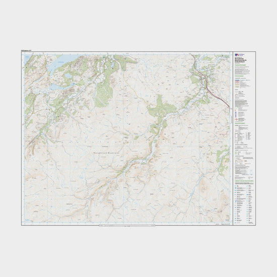
Ordnance Survey Explorer Active 417 Monadhliath Mountains North & Strathdearn Map With Digital Version£10.20
£17.00(Save 40%)Size in stock : One Size
-
-
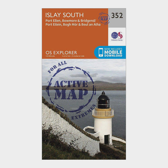
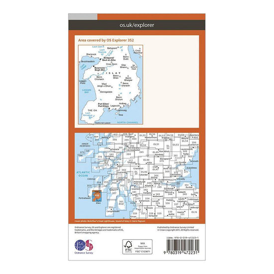
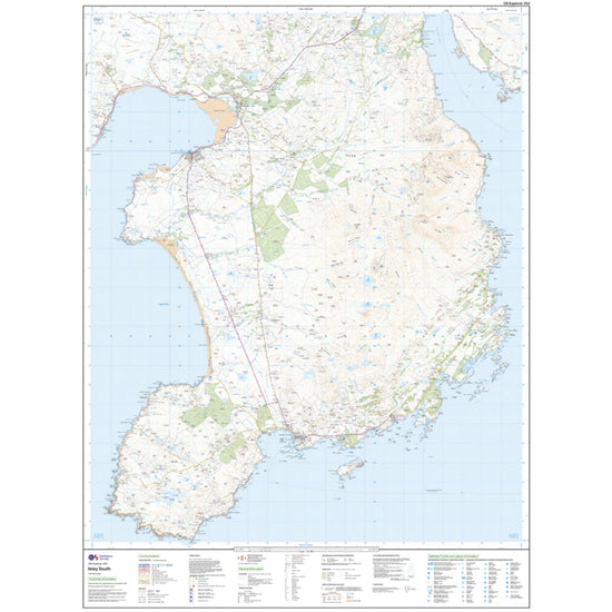
Ordnance Survey Explorer Active 352 Islay South Map With Digital Version£10.20
£17.00(Save 40%)Size in stock : one size
-
-
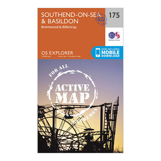
Ordnance Survey Explorer Active 175 Southend-on-Sea & Basildon Map With Digital Version£10.20
£17.00(Save 40%)Size in stock : One Size
-
-
Ordnance Survey Landranger 75 Berwick-upon-Tweed Map With Digital Version£7.80
£13.00(Save 40%)Size in stock : One Size
-
-
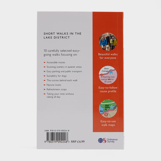
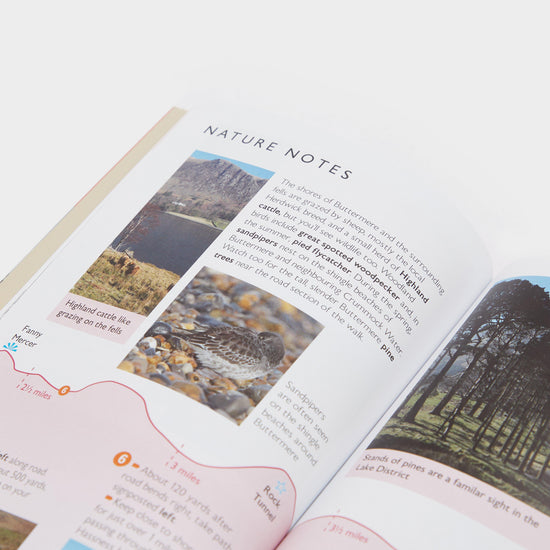
Ordnance Survey Short Walks Made Easy – Lake District£6.00
£7.00(Save 14%)Size in stock : One Size
-
-
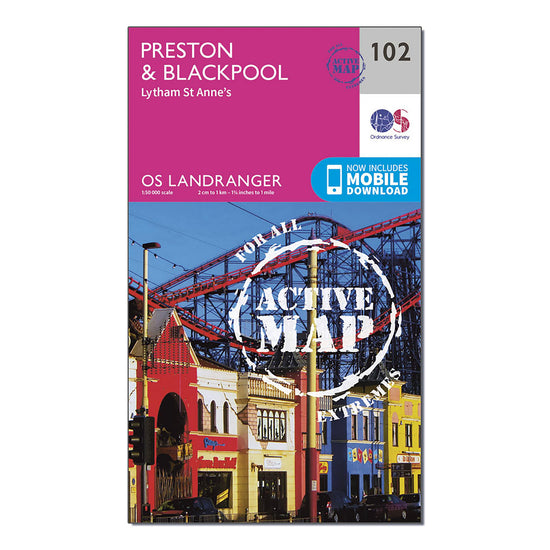
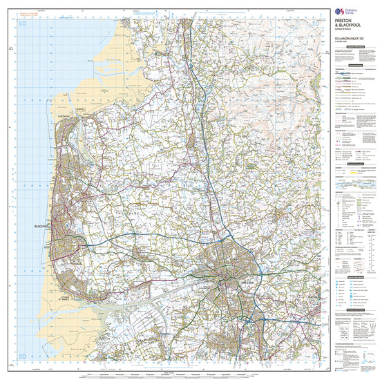
Ordnance Survey Landranger Active 102 Preston & Blackpool, Lytham Map With Digital Version£10.20
£17.00(Save 40%)Size in stock : One Size
-
-
Ordnance Survey Explorer 293 Kingston upon Hull & Beverley Map With Digital Version£7.80
£13.00(Save 40%)Size in stock : One Size
-
-
Ordnance Survey Explorer 228 March & Ely Map With Digital Version£7.80
£13.00(Save 40%)Size in stock : One Size
-
-
Ordnance Survey Landranger 100 Malton & Pickering, Helmsley & Easingwold Map With Digital Version£7.80
£13.00(Save 40%)Size in stock : One Size
-
-
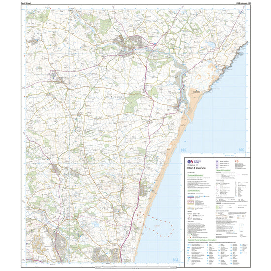
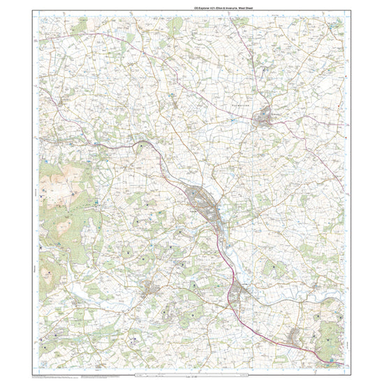
Ordnance Survey Explorer 421 Ellon & Inverurie Map With Digital Version£7.80
£13.00(Save 40%)Size in stock : One Size
-
-
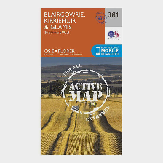
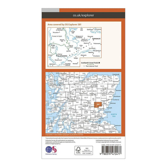
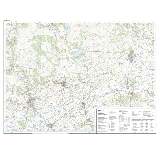
Ordnance Survey Explorer Active 381 Blairgowrie, Kirriemuir & Glamis Map With Digital Version£10.20
£17.00(Save 40%)Size in stock : One Size
-
-
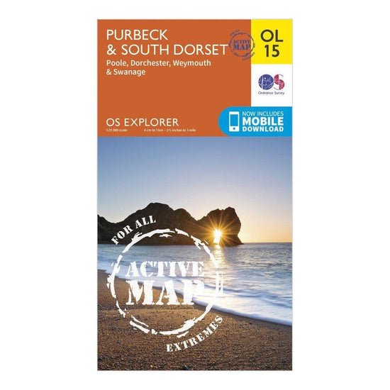
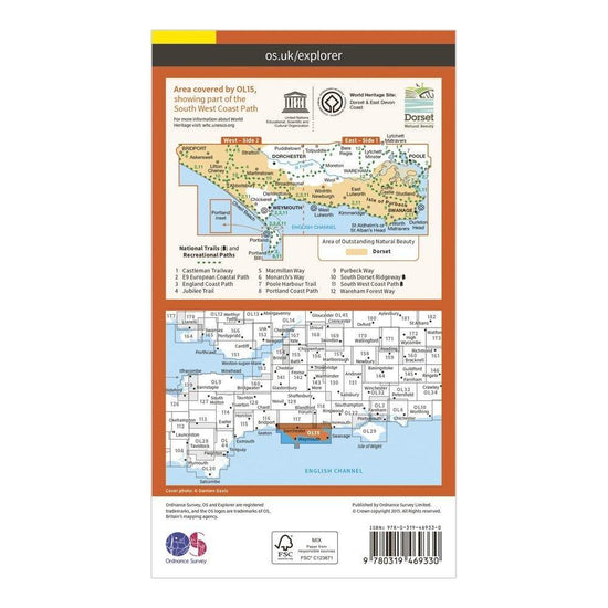
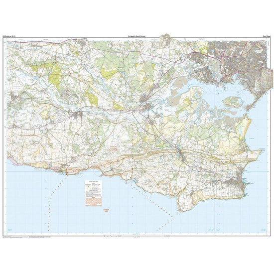
Ordnance Survey Explorer Active OL15 Purbeck & South Dorset Map With Digital Version£10.20
£17.00(Save 40%)Size in stock : One Size
-
-
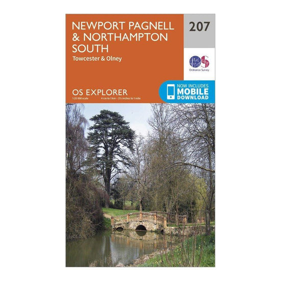
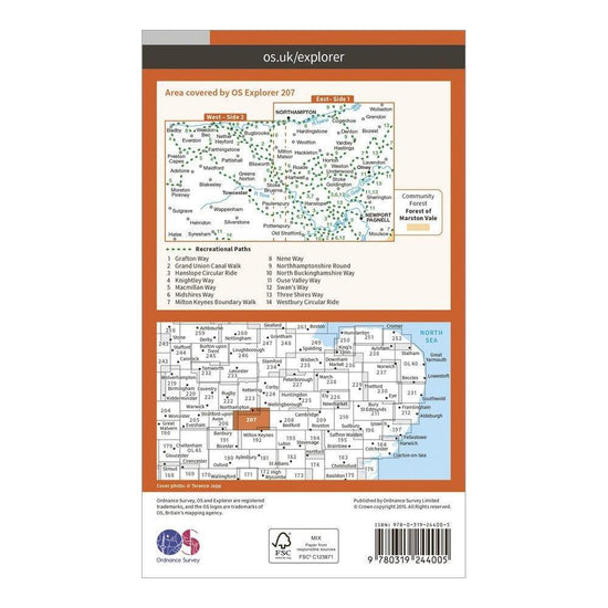
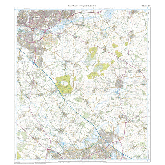
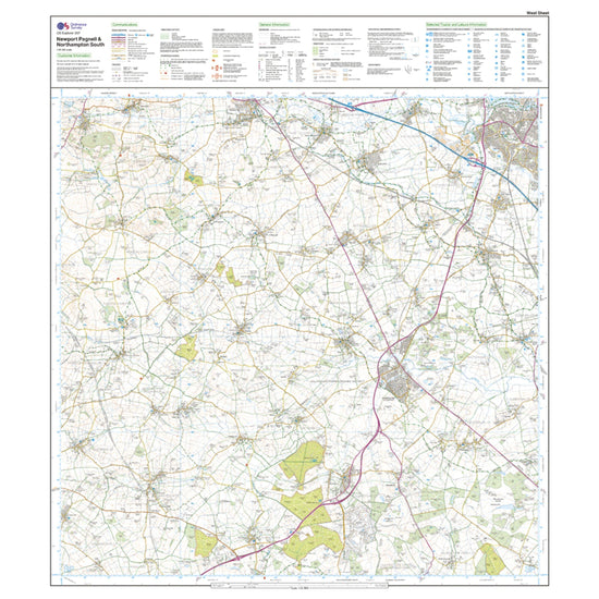
Ordnance Survey Explorer 207 Newport Pagnell & Northampton South Map With Digital Version£7.80
£13.00(Save 40%)Size in stock : One Size
-
-
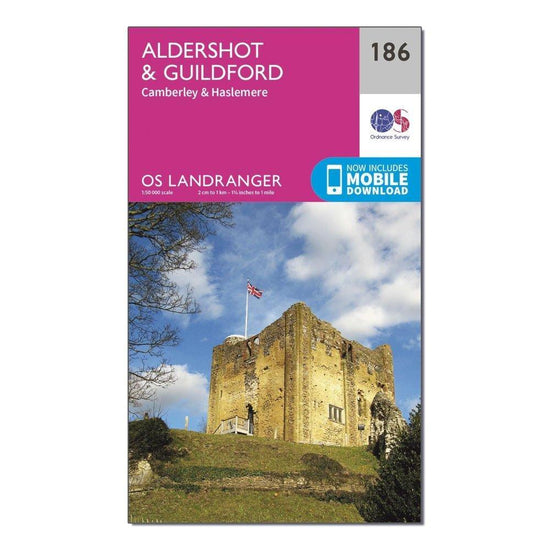
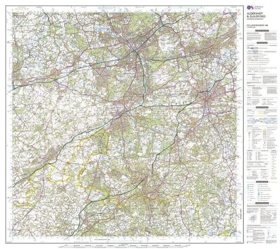
Ordnance Survey Landranger 186 Aldershot & Guildford, Camberley & Haslemere Map With Digital Version£7.80
£13.00(Save 40%)Size in stock : One Size
-
-
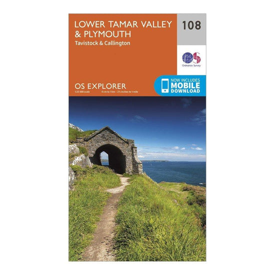
Ordnance Survey Explorer 108 Lower Tamar Valley & Plymouth Map With Digital Version£7.80
£13.00(Save 40%)Size in stock : One Size
-
-
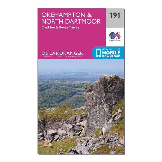
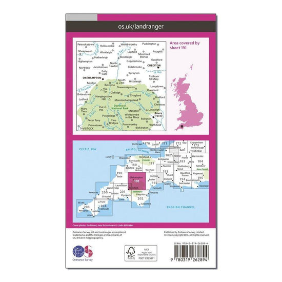
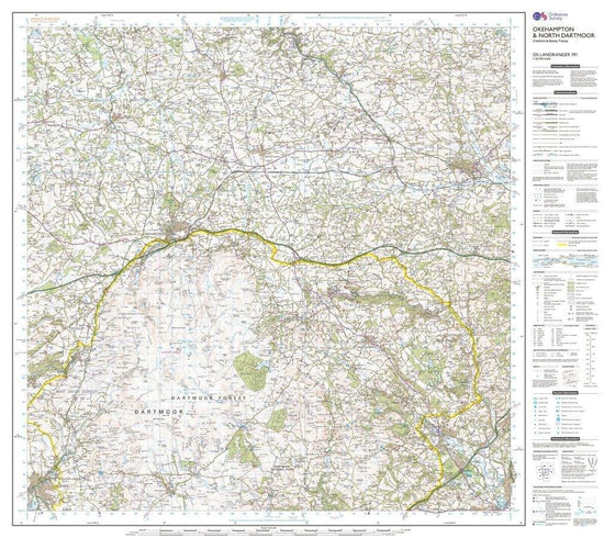
Ordnance Survey Landranger 191 Okehampton & North Dartmoor Map£7.80
£13.00(Save 40%)Size in stock : One Size
-
-
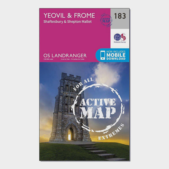
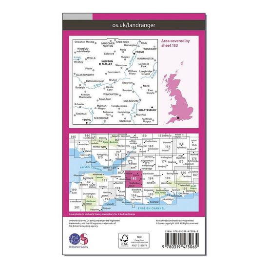
Ordnance Survey Landranger Active 183 Yeovil & Frome Map With Digital Version£10.20
£17.00(Save 40%)Size in stock : One Size
-
-
Ordnance Survey Landranger 25 Glen Carron & Glen Affric Map With Digital Version£7.80
£13.00(Save 40%)Size in stock : One Size
-
-
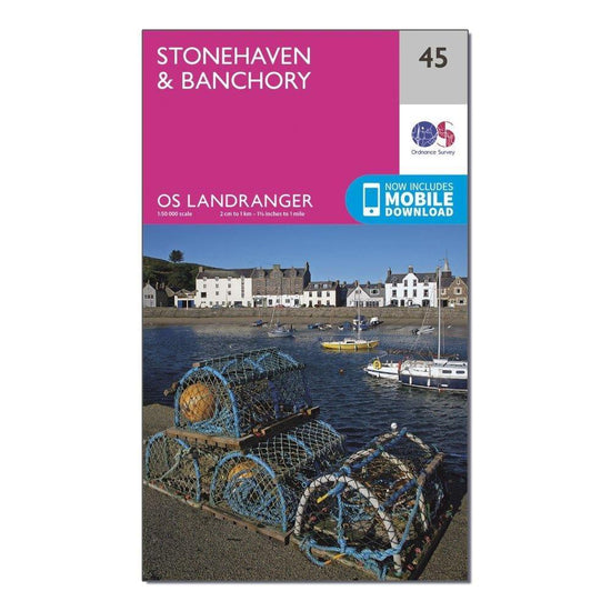
Ordnance Survey Landranger 45 Stonehaven & Banchory Map With Digital Version£7.80
£13.00(Save 40%)Size in stock : One Size
-
-
Ordnance Survey Landranger 120 Mansfield & Worksop, Sherwood Forest Map With Digital Version£7.80
£13.00(Save 40%)Size in stock : One Size
-
-
Ordnance Survey Explorer Active 135 Ashdown Forest Map with Digital Version£10.20
£17.00(Save 40%)Size in stock : One Size
-
-
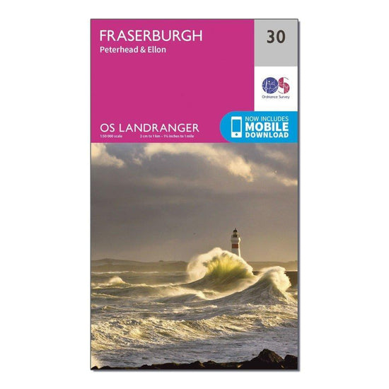
Ordnance Survey Landranger 30 Fraserburgh, Peterhead & Ellon Map With Digital Version£7.80
£13.00(Save 40%)Size in stock : One Size
-
-
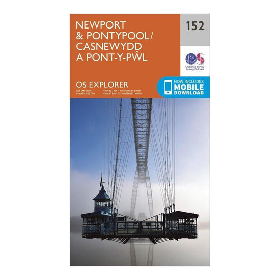
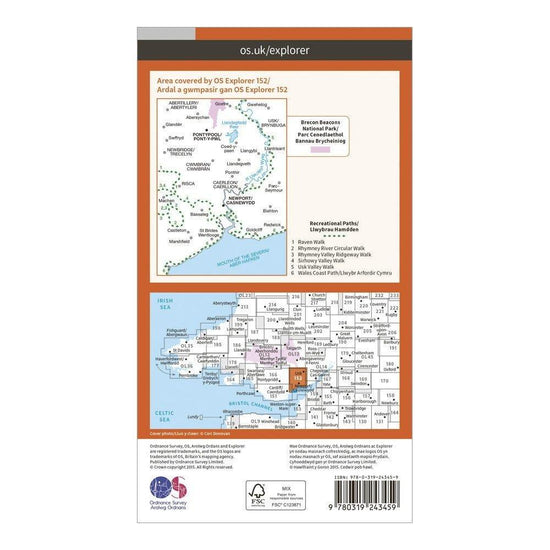
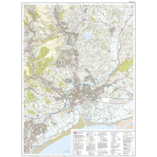
Ordnance Survey Explorer 152 Newport & Pontypool Map With Digital Version£7.80
£13.00(Save 40%)Size in stock : One Size
-
-
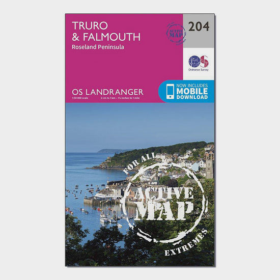
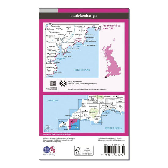
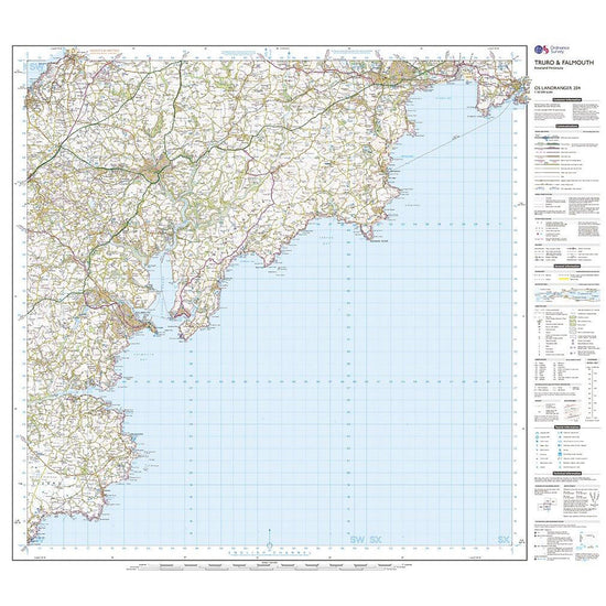
Ordnance Survey Landranger Active 204 Truro, Falmouth & Roseland Peninsula Map With Digital Version£10.20
£17.00(Save 40%)Size in stock : One Size
-
-
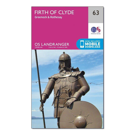
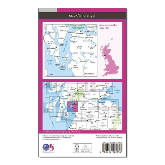
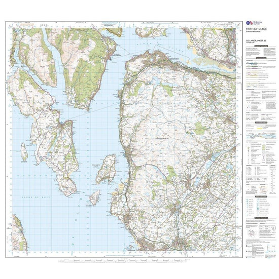
Ordnance Survey Landranger 63 Firth of Clyde, Greenock & Rothesay Map With Digital Version£7.80
£13.00(Save 40%)Size in stock : One Size
-
-
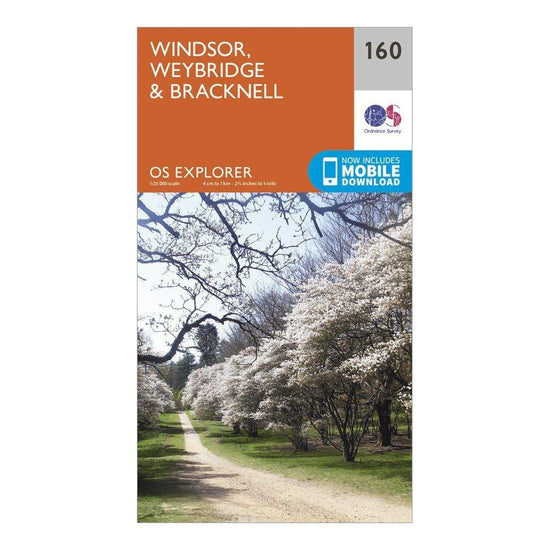
Ordnance Survey Explorer 160 Windsor, Weybridge & Bracknell Map With Digital Version£7.80
£13.00(Save 40%)Size in stock : One Size
-
-
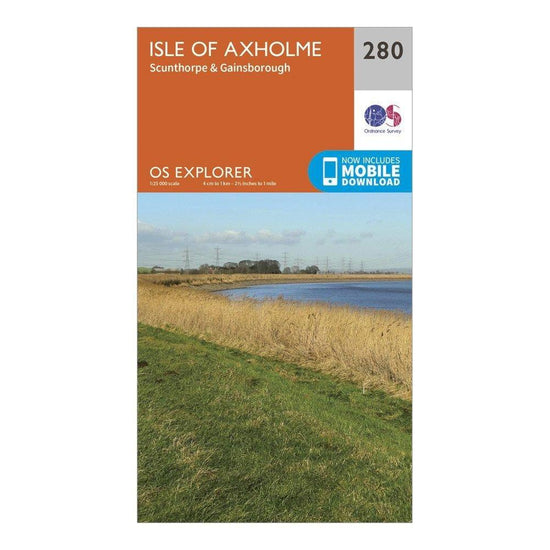
Ordnance Survey Explorer 280 Isle of Axholme, Scunthorpe & Gainsborough Map With Digital Version£7.80
£13.00(Save 40%)Size in stock : One Size
-
-
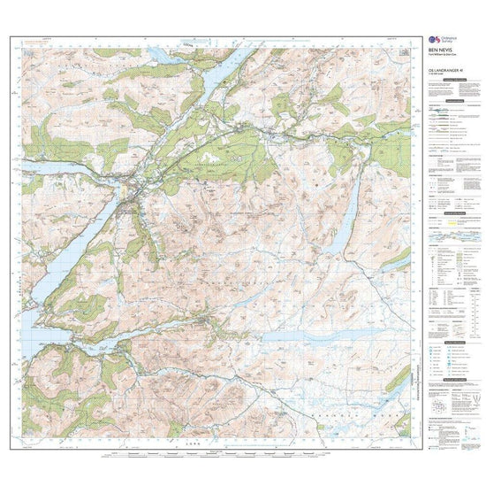
Ordnance Survey Landranger 41 Ben Nevis, Fort William & Glen Coe Map With Digital Version£7.80
£13.00(Save 40%)Size in stock : One Size
-
-
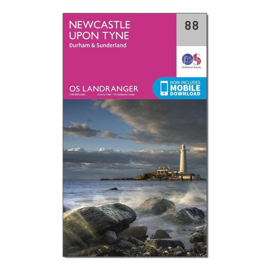
Ordnance Survey Landranger 88 Newcastle upon Tyne, Durham & Sunderland Map With Digital Version£7.80
£13.00(Save 40%)Size in stock : One Size
-
-
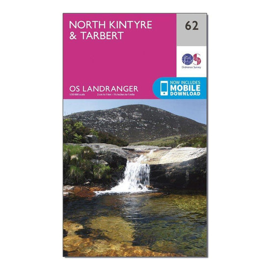
Ordnance Survey Landranger 62 North Kintyre & Tarbert Map With Digital Version£7.80
£13.00(Save 40%)Size in stock : One Size
-
-
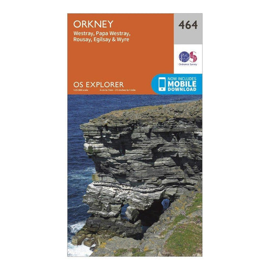
Ordnance Survey Explorer 464 Orkney Map With Digital Version£7.80
£13.00(Save 40%)Size in stock : One Size
-
-
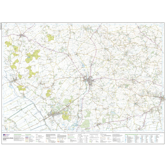
Ordnance Survey Explorer 273 Lincolnshire Wolds South Map With Digital Version£7.80
£13.00(Save 40%)Size in stock : One Size
-
-
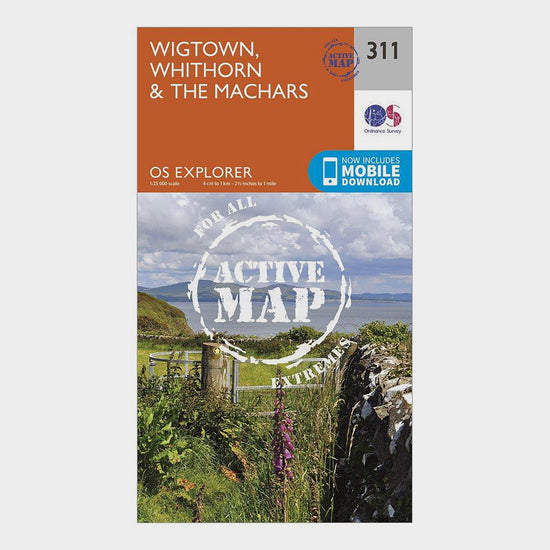
Ordnance Survey Explorer Active 311 Wigtown, Whithorn & The Machars Map With Digital Version£10.20
£17.00(Save 40%)Size in stock : One Size


Showing 720 of 918 results
Maps have been used for centuries by hikers, walkers, campers, cyclists, families and adventurers, to unlock the terrain and new adventures. Ordnance Survey is the national mapping agency for Great Britain. Outdoor enthusiasts of all types use Ordnance Survey maps to reach viewpoints, navigate the landscape and discover new places to explore. Traditional paper maps provide outstanding detail of the terrain and allows you to see the routes, landmarks and trails. Ordnance Survey have a varied collection of maps which cover Great Britain, with their active range popular on wet UK adventures. Prefer to go digital? Ordnance Survey also has a range of options for GPS devices and smartphones allowing you to plot your map and see on your device the route ahead.