
Showing 816 of 918 results
-
-
-
-
-
-
-
-
-
-
-
-
-
-
-
-
-
-
-
-
-
-
-
-
-
-
-
-
-
-
-
-
-
-
-
-
-
-
-
-
-
-
-
-
-
-
-
-
-
-
-
-
-
-
-
-
-
-
-
-
-
-
-
-
-
-
-
-
-
-
-
-
-
-
-
-
-
-
-
-
-
-
-
-
-
-
-
-
-
-
-
-
-
-
-
-
-
-
-
-
-
-
-
-
-
-
-
-
-
-
-
-
-
-
-
-
-
-
-
-
-
-
-
-
-
-
-
-
-
-
-
-
-
-
-
-
-
-
-
-
-
-
-
-
-
-
-
-
-
-
-
-
-
-
-
-
-
-
-
-
-
-
-
-
-
-
-
-
-
-
-
-
-
-
-
-
-
-
-
-
-
-
-
-
-
-
-
-
-
-
-
-
-
-
-
-
-
-
-
-
-
-
-
-
-
-
-
-
-
-
-
-
-
-
-
-
-
-
-
-
-
-
-
-
-
-
-
-
-
-
-
-
-
-
-
-
-
-
-
-
-
-
-
-
-
-
-
-
-
-
-
-
-
-
-
-
-
-
-
-
-
-
-
-
-
-
-
-
-
-
-
-
-
-
-
-
-
-
-
-
-
-
-
-
-
-
-
-
-
-
-
-
-
-
-
-
-
-
-
-
-
-
-
-
-
-
-
-
-
-
-
-
-
-
-
-
-
-
-
-
-
-
-
-
-
-
-
-
-
-
-
-
-
-
-
-
-
-
-
-
-
-
-
-
-
-
-
-
-
-
-
-
-
-
-
-
-
-
-
-
-
-
-
-
-
-
-
-
-
-
-
-
-
-
-
-
-
-
-
-
-
-
-
-
-
-
-
-
-
-
-
-
-
-
-
-
-
-
-
-
-
-
-
-
-
-
-
-
-
-
-
-
-
-
-
-
-
-
-
-
-
-
-
-
-
-
-
-
-
-
-
-
-
-
-
-
-
-
-
-
-
-
-
-
-
-
-
-
-
-
-
-
-
-
-
-
-
-
-
-
-
-
-
-
-
-
-
-
-
-
-
-
-
-
-
-
-
-
-
-
-
-
-
-
-
-
-
-
-
-
-
-
-
-
-
-
-
-
-
-
-
-
-
-
-
-
-
-
-
-
-
-
-
-
-
-
-
-
-
-
-
-
-
-
-
-
-
-
-
-
-
-
-
-
-
-
-
-
-
-
-
-
-
-
-
-
-
-
-
-
-
-
-
-
-
-
-
-
-
-
-
-
-
-
-
-
-
-
-
-
-
-
-
-
-
-
-
-
-
-
-
-
-
-
-
-
-
-
-
-
-
-
-
-
-
-
-
-
-
-
-
-
-
-
-
-
-
-
-
-
-
-
-
-
-
-
-
-
-
-
-
-
-
-
-
-
-
-
-
-
-
-
-
-
-
-
-
-
-
-
-
-
-
-
-
-
-
-
-
-
-
-
-
-
-
-
-
-
-
-
-
-
-
-
-
-
-
-
-
-
-
-
-
-
-
-
-
-
-
-
-
-
-
-
-
-
-
-
-
-
-
-
-
-
-
-
-
-
-
-
-
-
-
-
-
-
-
-
-
-
-
-
-
-
-
-
-
-
-
-
-
-
-
-
-
-
-
-
-
-
-
-
-
-
-
-
-
-
-
-
-
-
-
-
-
-
-
-
-
-
-
-
-
-
-
-
-
-
-
-
-
-
-
-
-
-
-
-
-
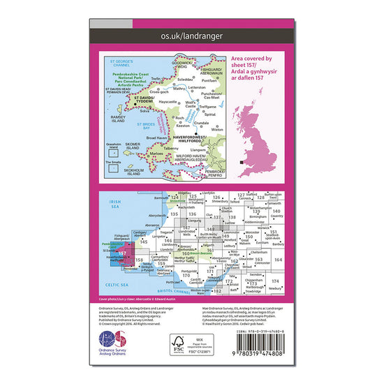
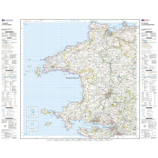
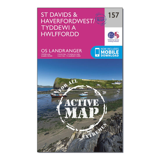 Ordnance Survey Landranger Active 157 St Davids & Haverfordwest Map With Digital Version£10.20
£17.00(Save 40%)Size in stock : One Size
-
-
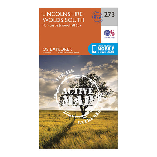
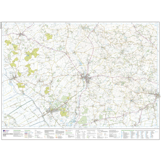
 Ordnance Survey Explorer Active 273 Lincolnshire Wolds South Map With Digital Version£10.20
£17.00(Save 40%)Size in stock : One Size
-
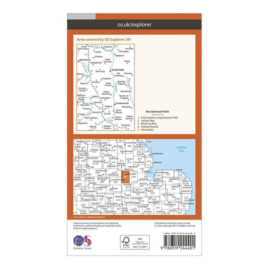
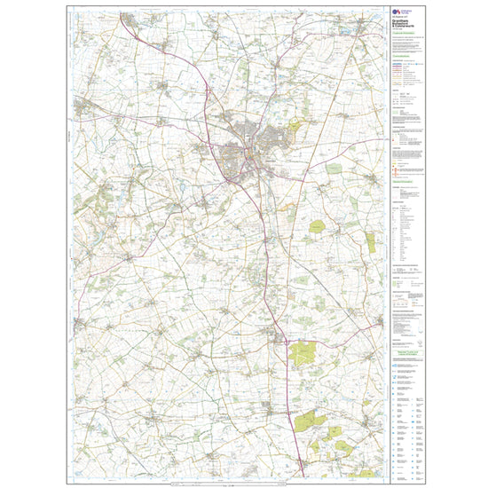
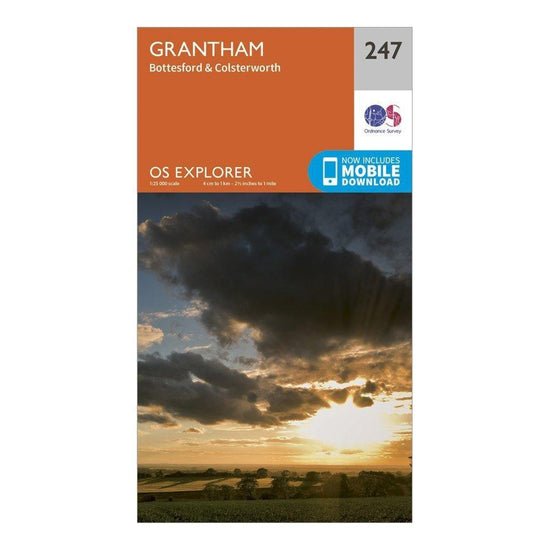 Ordnance Survey Explorer 247 Grantham Map With Digital Version£7.80
£13.00(Save 40%)Size in stock : One Size
-
-
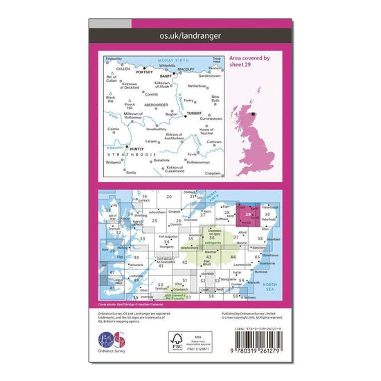
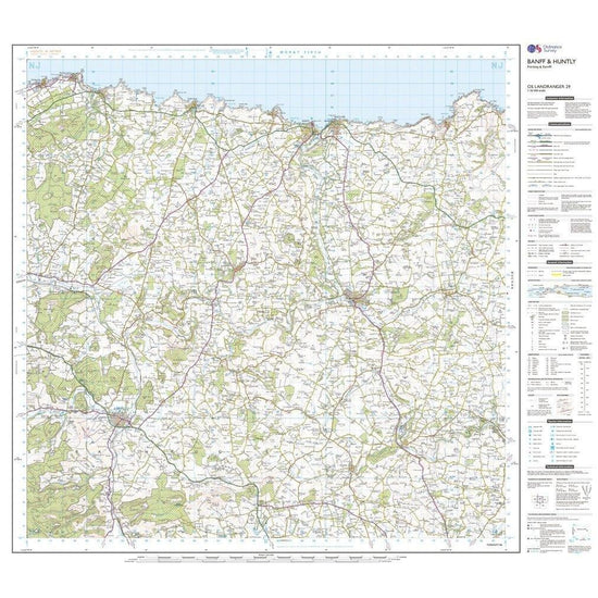
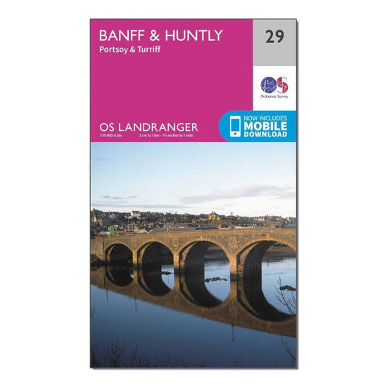 Ordnance Survey Landranger 29 Banff & Huntly, Portsoy & Turriff Map With Digital Version£7.80
£13.00(Save 40%)Size in stock : One Size
-
-
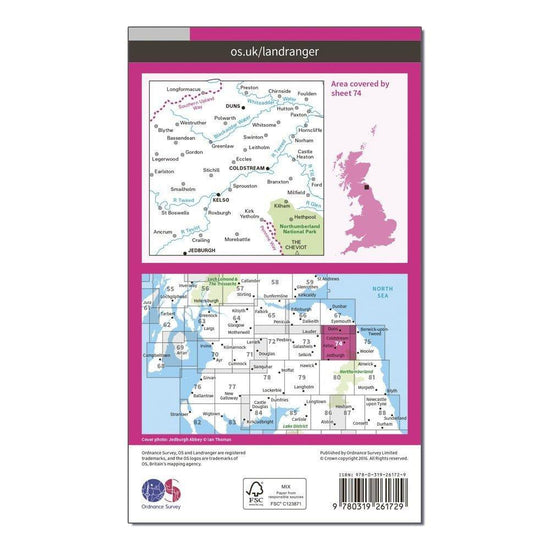
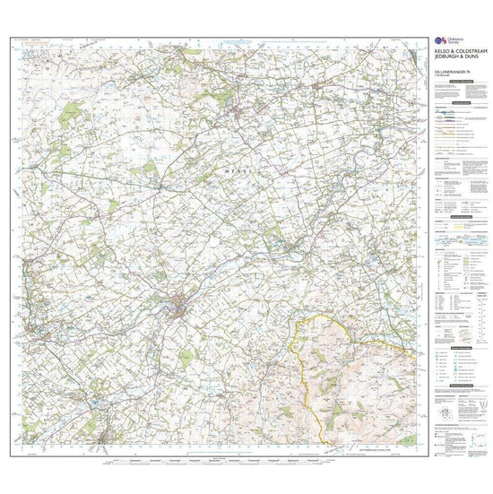
 Ordnance Survey Landranger 74 Kelso & Coldstream Map£7.80
£13.00(Save 40%)Size in stock : One Size
-
-
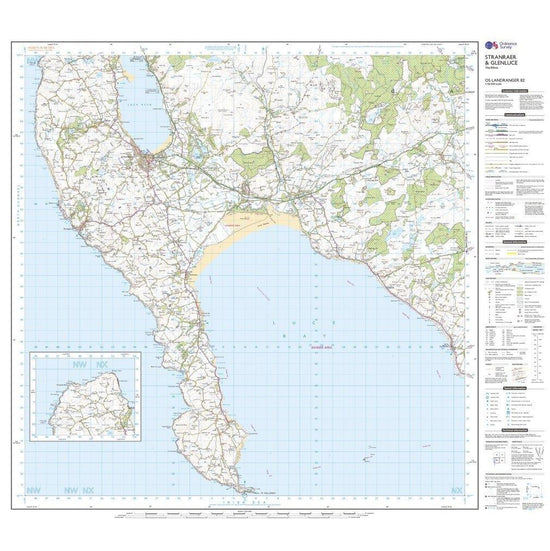
 Ordnance Survey Landranger 82 Stranraer & Glenluce Map With Digital Version£7.80
£13.00(Save 40%)Size in stock : One Size
-
-
 Ordnance Survey Explorer Active 186 Llandeilo & Brechfa Forest Map With Digital Version£10.20
£17.00(Save 40%)Size in stock : One Size
-
-
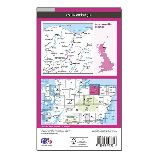
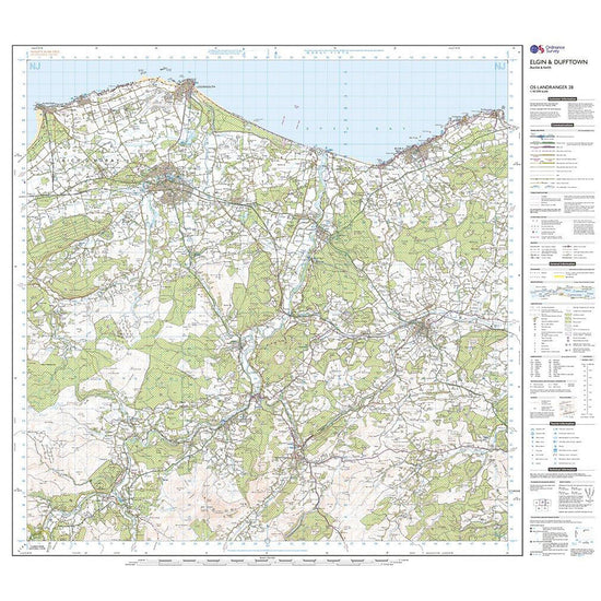
 Ordnance Survey Landranger Active 28 Elgin, Dufftown, Buckie & Keith Map With Digital Version£10.20
£17.00(Save 40%)Size in stock : One Size
-
-
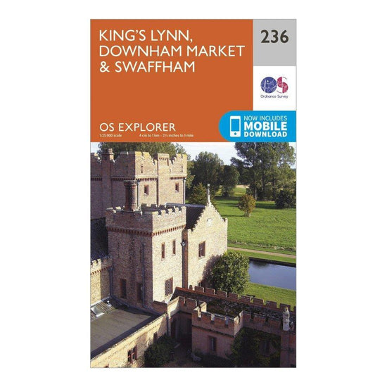
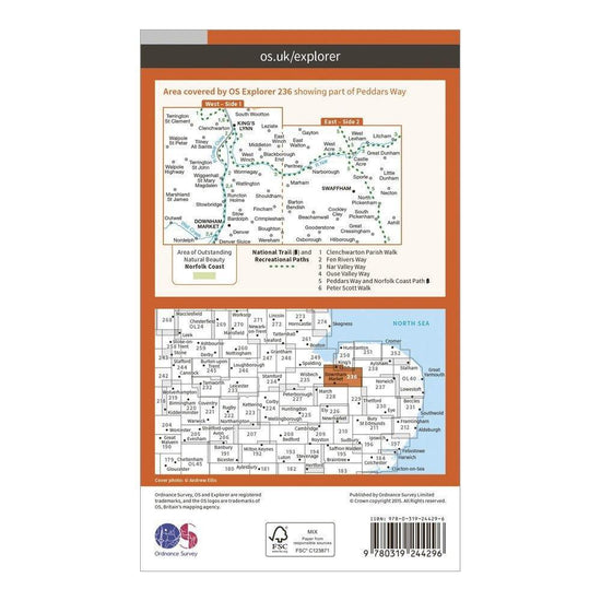
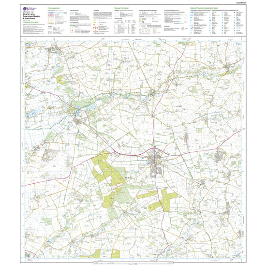
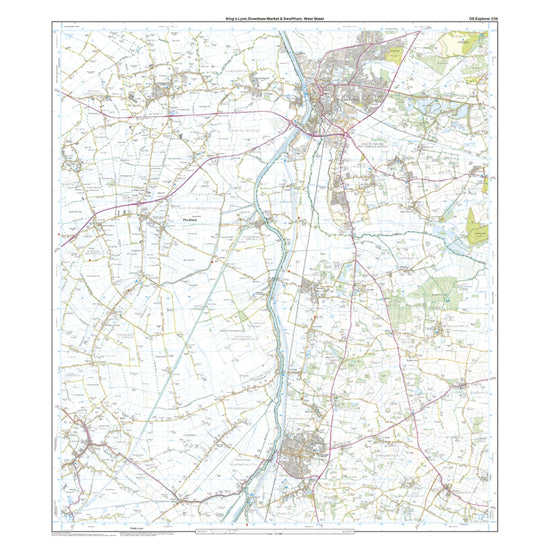
Ordnance Survey Explorer 236 King's Lynn, Downham Market & Swaffham Map With Digital Version£7.80
£13.00(Save 40%)Size in stock : One Size
-
-
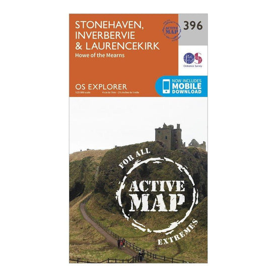
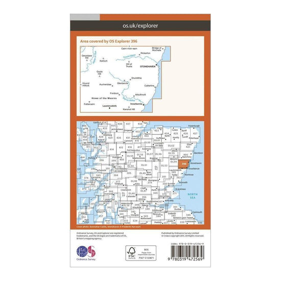
Ordnance Survey Explorer Active 396 Stonehaven, Inverbervie & Laurencekirk Map With Digital Version£10.20
£17.00(Save 40%)Size in stock : One Size
-
-
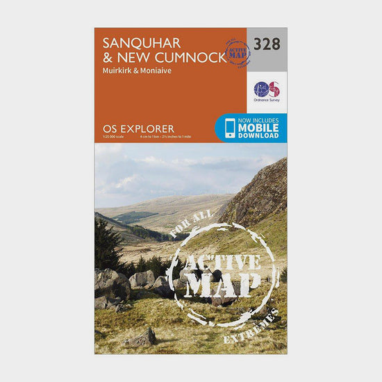
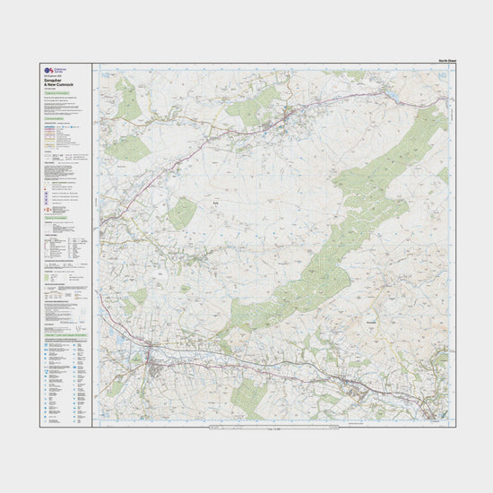
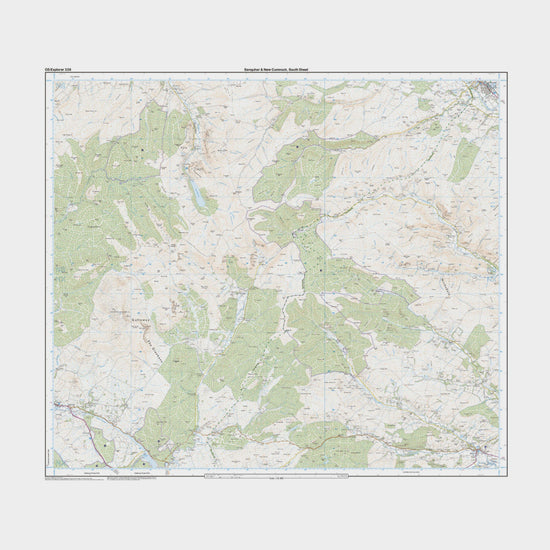
Ordnance Survey Explorer Active 328 Sanquhar & New Cumnock Map With Digital Version£10.20
£17.00(Save 40%)Size in stock : One Size
-
-
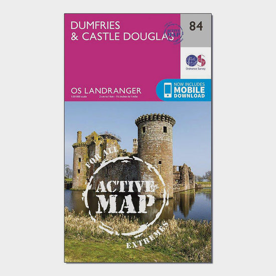
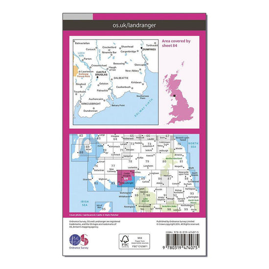
Ordnance Survey Landranger Active 84 Dumfries & Castle Douglas Map With Digital Version£10.20
£17.00(Save 40%)Size in stock : One Size
-
-
Ordnance Survey Landranger 146 Lampeter & Llandovery Map With Digital Version£7.80
£13.00(Save 40%)Size in stock : One Size
-
-
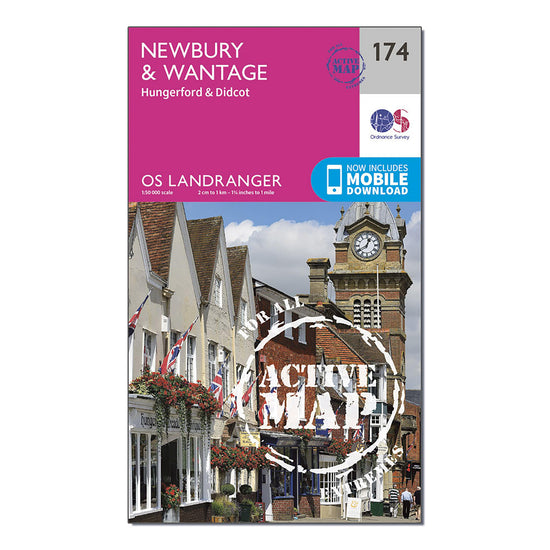
Ordnance Survey Landranger Active 174 Newbury & Wantage, Hungerford & Didcot Map With Digital Version£10.20
£17.00(Save 40%)Size in stock : One Size
-
-
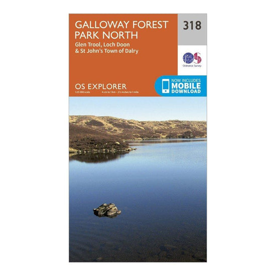
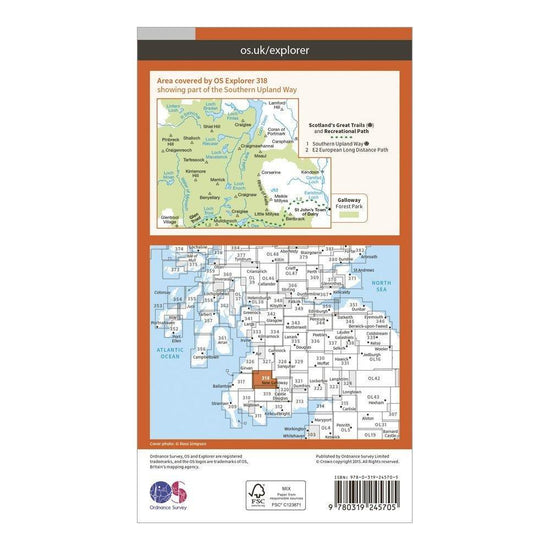
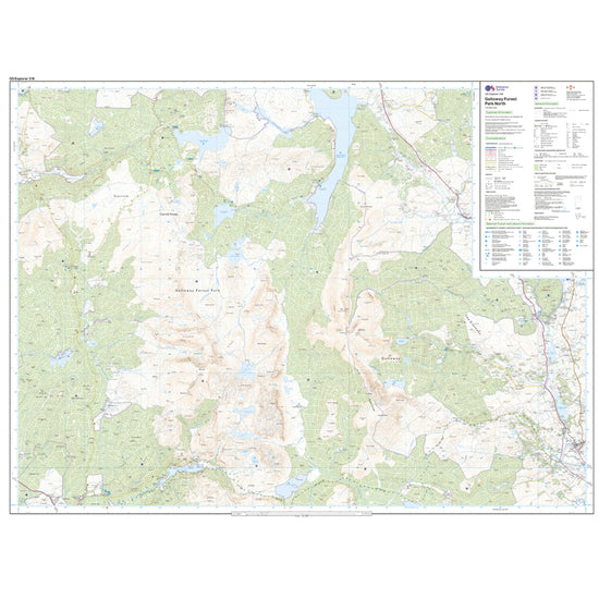
Ordnance Survey Explorer 318 Galloway Forest Park North Map With Digital Version£7.80
£13.00(Save 40%)Size in stock : One Size
-
-
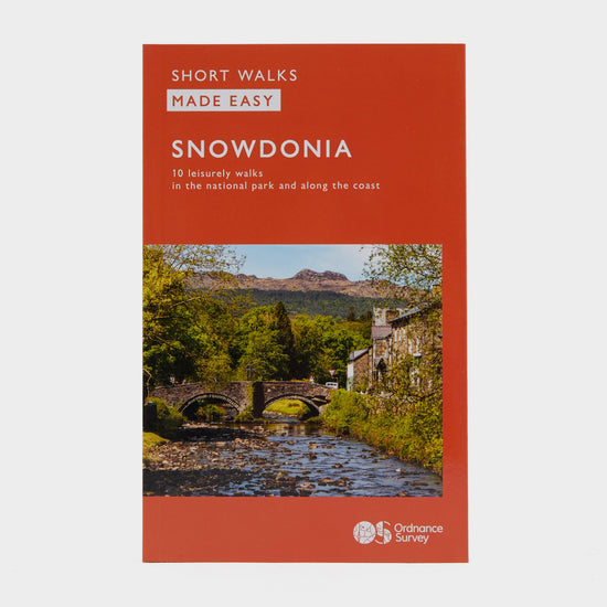
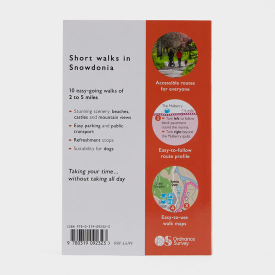
Ordnance Survey Short Walks Made Easy – Snowdonia£6.00
£7.00(Save 14%)Size in stock : One Size
-
-
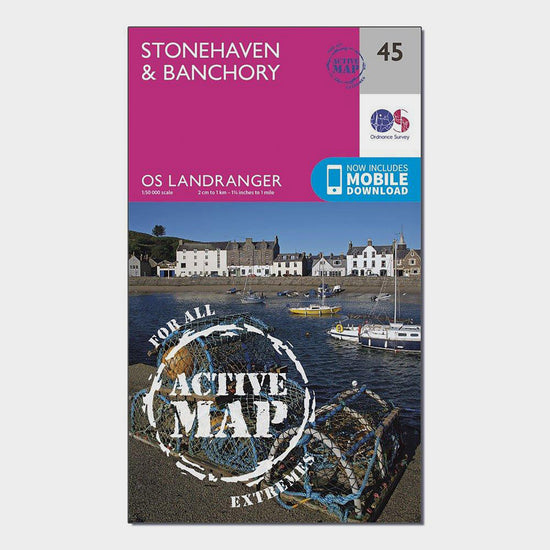
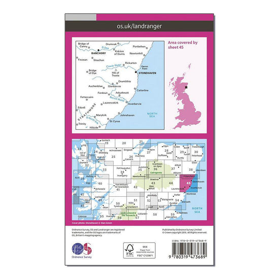
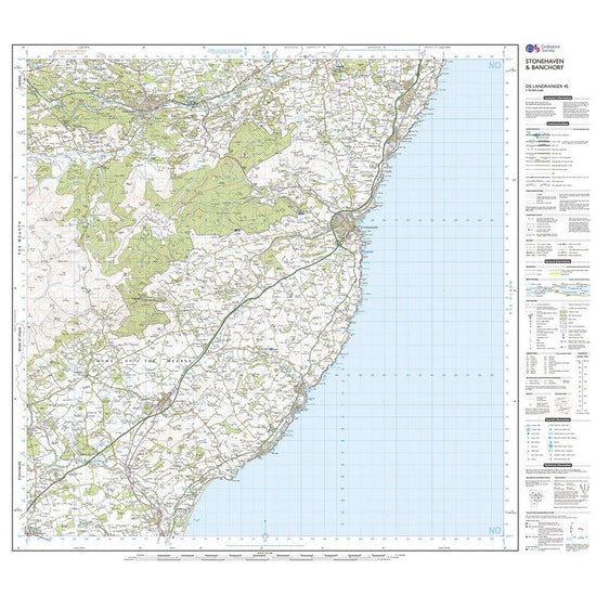
Ordnance Survey Landranger Active 45 Stonehaven & Banchory Map With Digital Version£10.20
£17.00(Save 40%)Size in stock : One Size
-
-
Ordnance Survey Explorer 334 East Kilbride, Galston & Darvel Map With Digital Version£7.80
£13.00(Save 40%)Size in stock : One Size
-
-
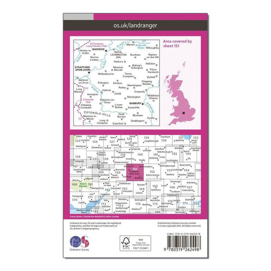
Ordnance Survey Landranger 151 Stratford-upon-Avon, Warwick & Banbury Map With Digital Version£7.80
£13.00(Save 40%)Size in stock : One Size
-
-
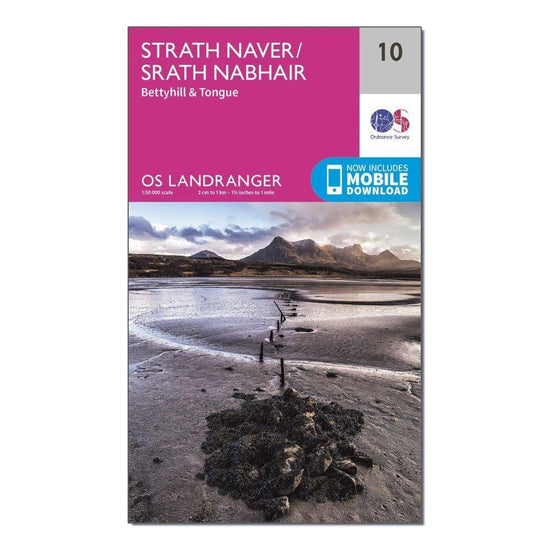
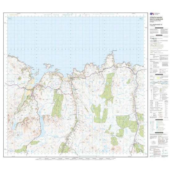
Ordnance Survey Landranger 10 Strathnaver, Bettyhill & Tongue Map With Digital Version£7.80
£13.00(Save 40%)Size in stock : One Size
-
-
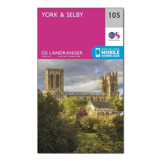
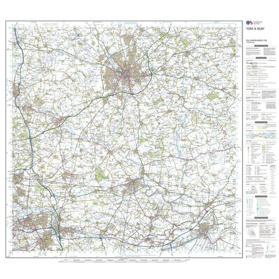
Ordnance Survey Landranger 105 York & Selby Map With Digital Version£7.80
£13.00(Save 40%)Size in stock : One Size
-
-
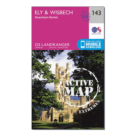
Ordnance Survey Landranger Active 143 Ely & Wisbech, Downham Market Map With Digital Version£10.20
£17.00(Save 40%)Size in stock : One Size
-
-
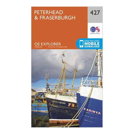
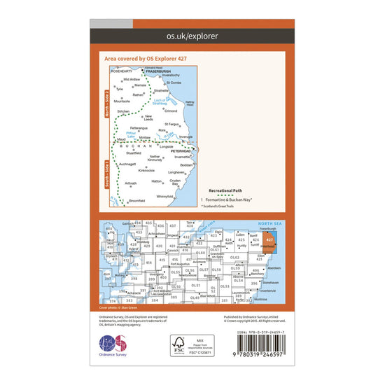
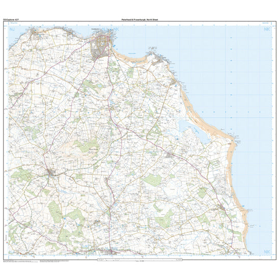
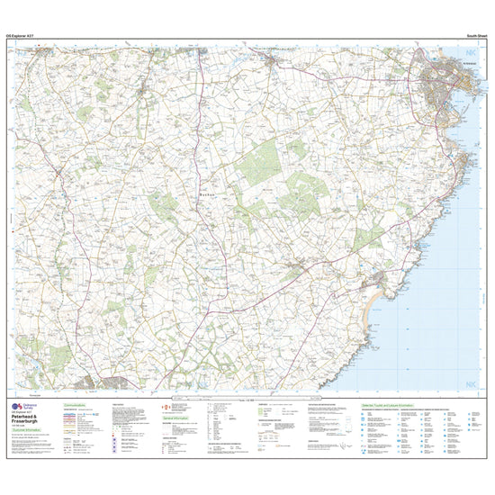
Ordnance Survey Explorer 427 Peterhead & Fraserburgh Map With Digital Version£7.80
£13.00(Save 40%)Size in stock : One Size
-
-
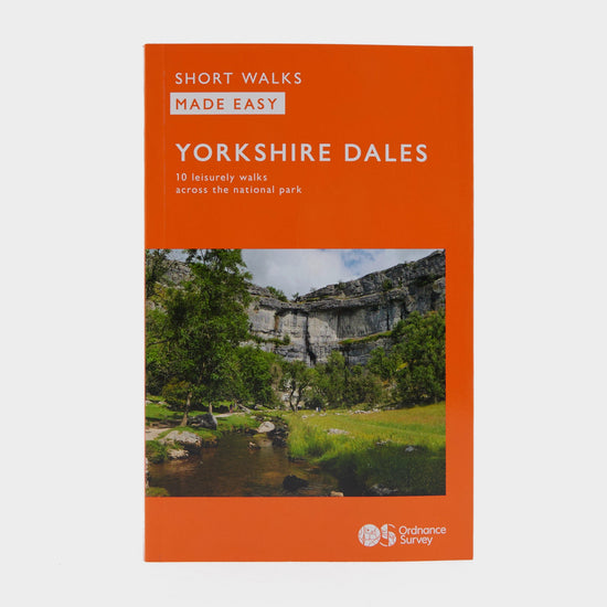
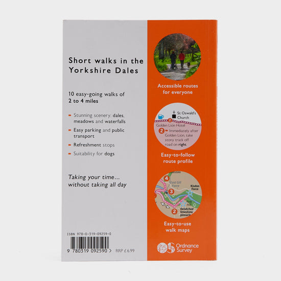
Ordnance Survey Short Walks Made Easy – Yorkshire Dales£6.00
£7.00(Save 14%)Size in stock : One Size
-
-
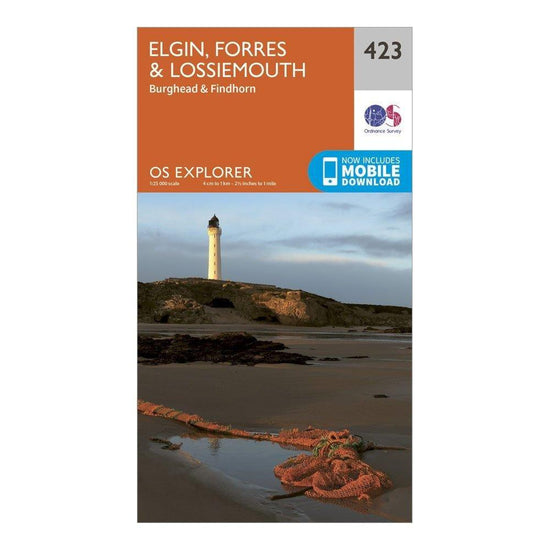
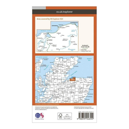
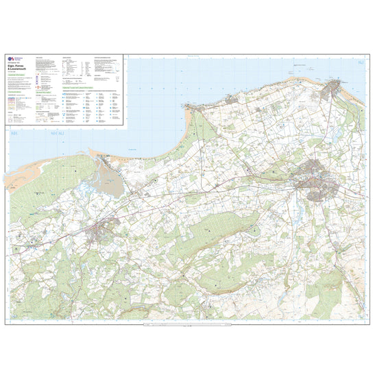
Ordnance Survey Explorer 423 Elgin, Forres & Lossiemouth Map With Digital Version£7.80
£13.00(Save 40%)Size in stock : One Size
-
-
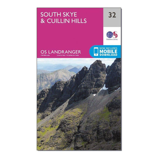
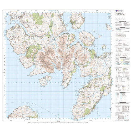
Ordnance Survey Landranger 32 South Skye & Cuillin Hills Map With Digital Version£7.80
£13.00(Save 40%)Size in stock : One Size
-
-
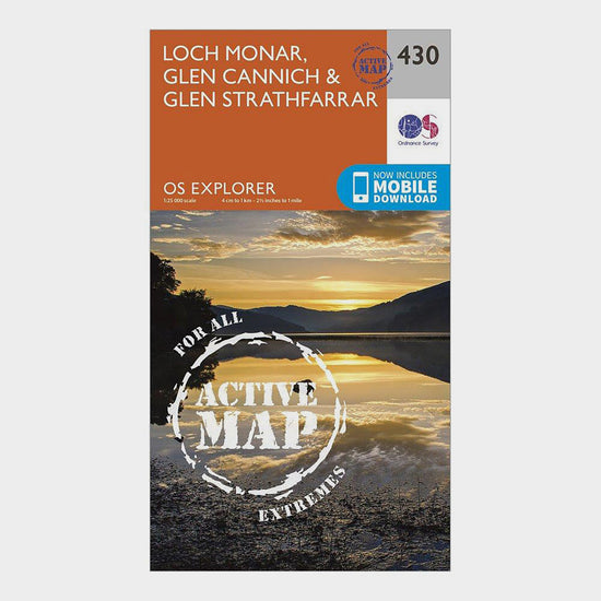
Ordnance Survey Explorer Active 430 Loch Monar, Glen Cannich & Glen Strathfarrar Map With Digital Version£10.20
£17.00(Save 40%)Size in stock : One Size
-
-
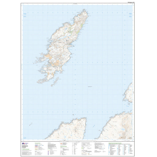
Ordnance Survey Landranger Active 6 Orkney Mainland Map With Digital Version£10.20
£17.00(Save 40%)Size in stock : One Size
-
-
Ordnance Survey Explorer Active 450 Wick & The Flow Country Map With Digital Version£10.20
£17.00(Save 40%)Size in stock : One Size
-
Ordnance Survey Explorer Active 354 Colonsay & Oronsay Map With Digital Version£10.20
£17.00(Save 40%)Size in stock : One Size
-
-
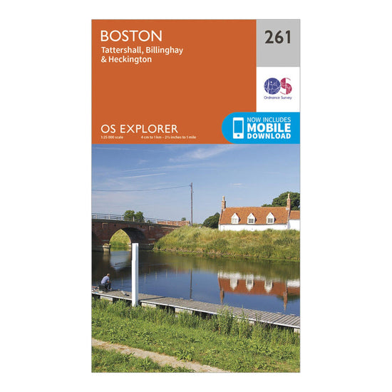
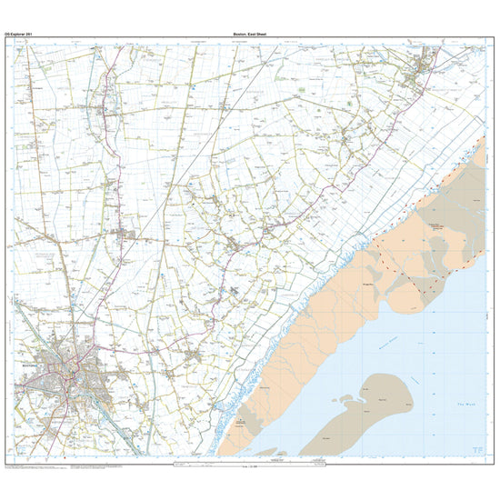
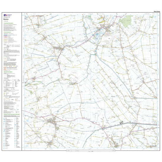
Ordnance Survey Explorer 261 Boston Map With Digital Version£7.80
£13.00(Save 40%)Size in stock : One Size
-
-
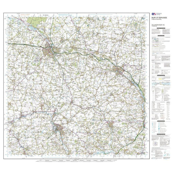
Ordnance Survey Landranger 155 Bury St Edmunds, Sudbury & Stowmarket Map With Digital Version£7.80
£13.00(Save 40%)Size in stock : One Size
-
-
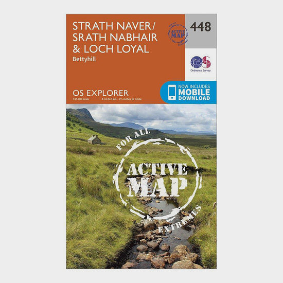
Ordnance Survey Explorer Active 448 Strath Naver & Loch Loyal Map With Digital Version£10.20
£17.00(Save 40%)Size in stock : One Size
-
-
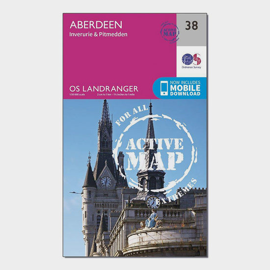
Ordnance Survey Landranger Active 38 Aberdeen, Inverurie & Pitmedden Map With Digital Version£10.20
£17.00(Save 40%)Size in stock : One Size
-
-
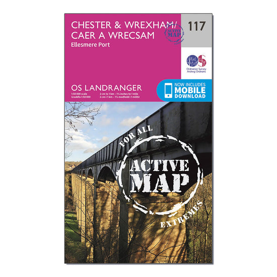
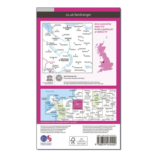
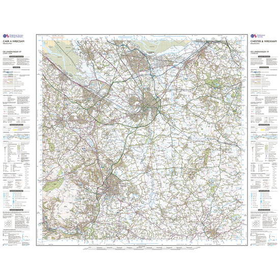
Ordnance Survey Landranger Active 117 Chester & Wrexham, Ellesmere Port Map With Digital Version£10.20
£17.00(Save 40%)Size in stock : One Size
-
-
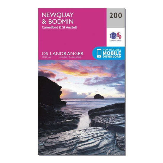
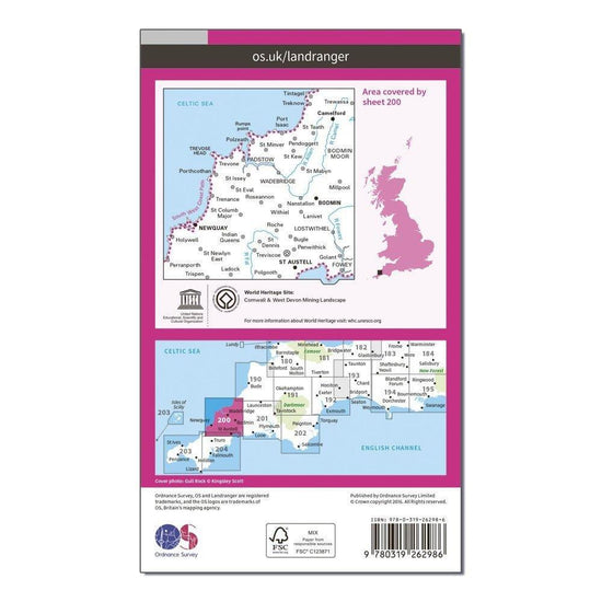
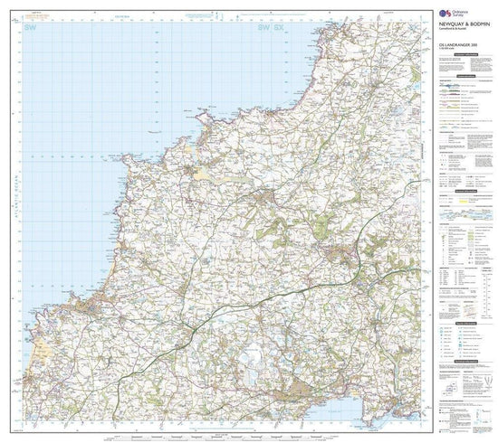
Ordnance Survey Landranger 200 Newquay & Bodmin, Camelford & St Austell Map With Digital Version£7.80
£13.00(Save 40%)Size in stock : One Size
-
-
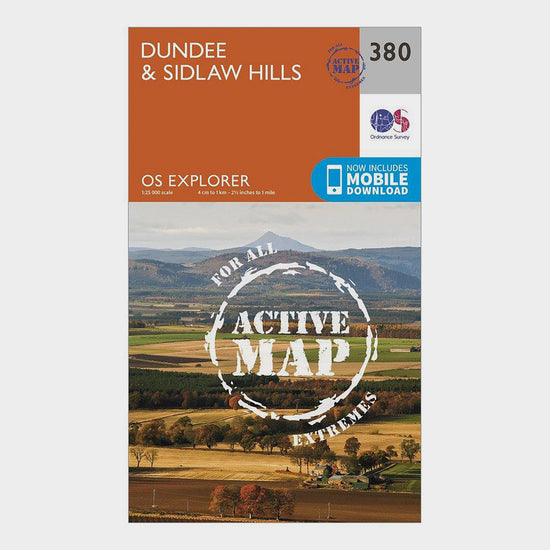
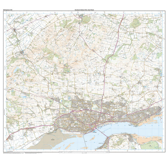
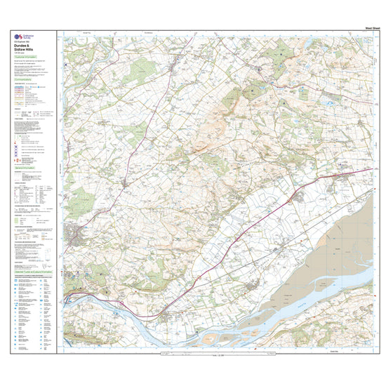
Ordnance Survey Explorer Active 380 Dundee & Sidlaw Hills Map With Digital Version£10.20
£17.00(Save 40%)Size in stock : One Size
-
-
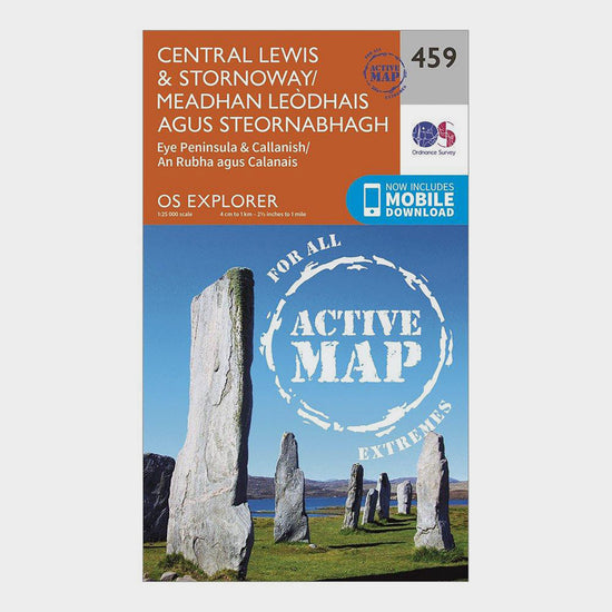
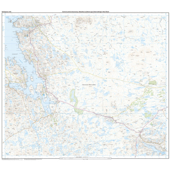
Ordnance Survey Explorer Active 459 Central Lewis & Stornaway Map With Digital Version£10.20
£17.00(Save 40%)Size in stock : One Size
-
-
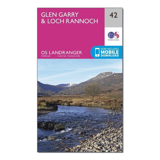
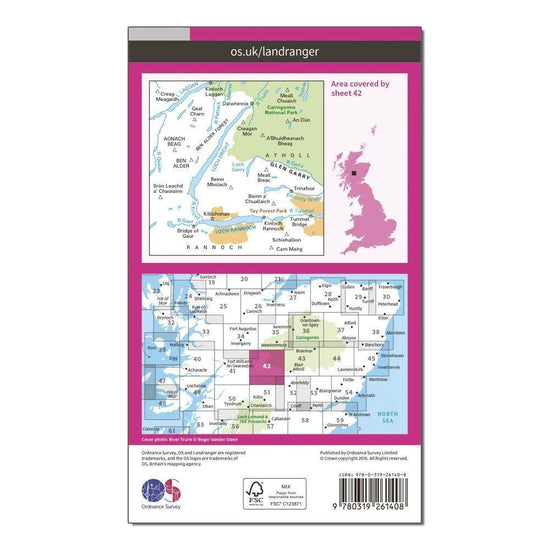
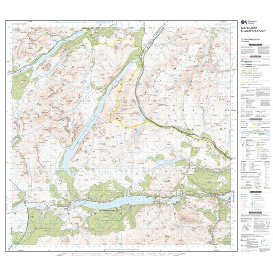
Ordnance Survey Landranger 42 Glen Garry & Loch Rannoch Map With Digital Version£7.80
£13.00(Save 40%)Size in stock : One Size
-
-
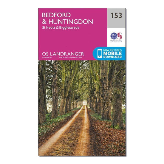
Ordnance Survey Landranger 153 Bedford, Huntingdon, St Neots & Biggleswade Map With Digital Version£7.80
£13.00(Save 40%)Size in stock : One Size
-
-
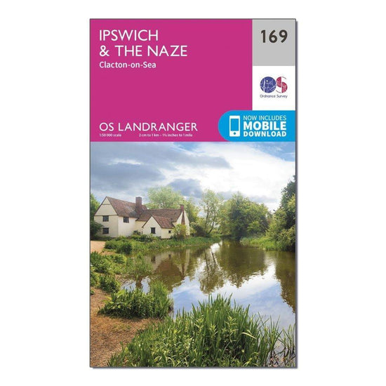
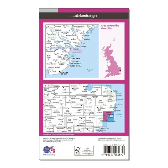
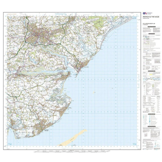
Ordnance Survey Landranger 169 Ipswich, The Naze & Clacton-on-Sea Map With Digital Version£7.80
£13.00(Save 40%)Size in stock : One Size
-
-
Ordnance Survey Explorer Active 458 West Lewis Map With Digital Version£10.20
£17.00(Save 40%)Size in stock : One Size
-
-
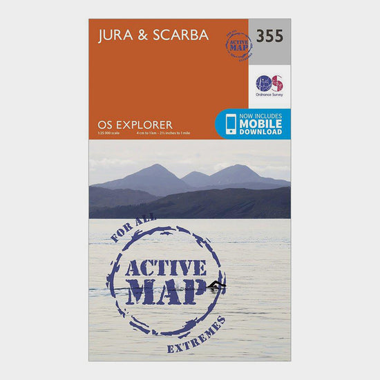
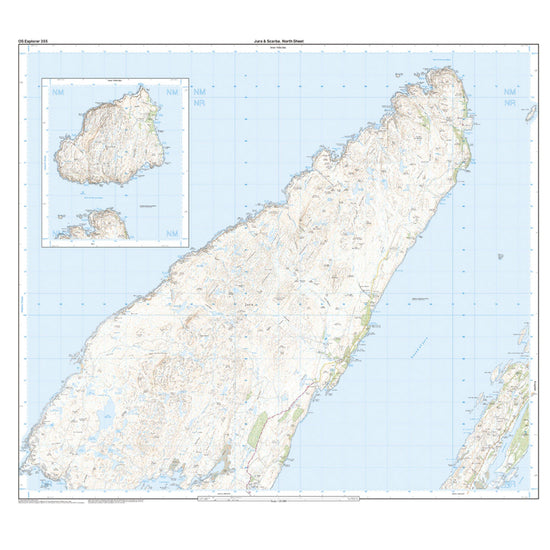
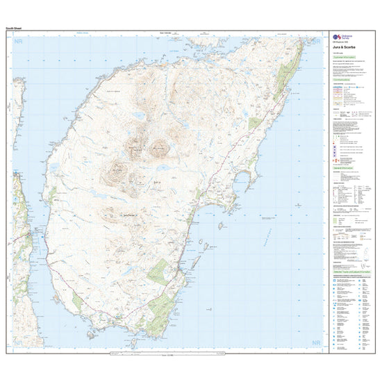
Ordnance Survey Explorer Active 355 Jura & Scarba Map With Digital Version£10.20
£17.00(Save 40%)Size in stock : One Size
-
-
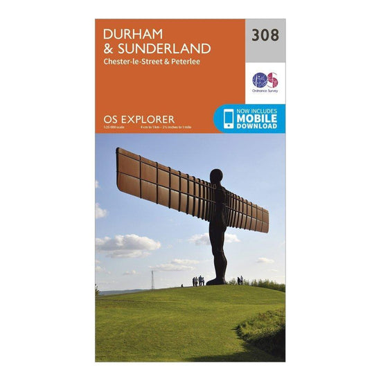
Ordnance Survey Explorer 308 Durham & Sunderland Map With Digital Version£7.80
£13.00(Save 40%)Size in stock : One Size
-
-
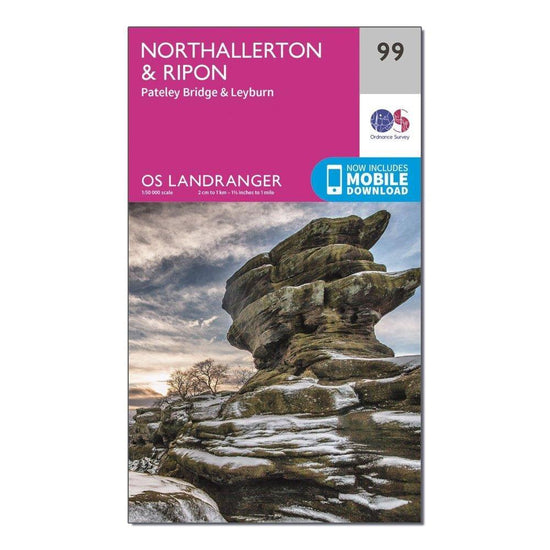
Ordnance Survey Landranger 99 Northallerton & Ripon, Pateley Bridge & Leyburn Map With Digital Version£7.80
£13.00(Save 40%)Size in stock : One Size
-
-
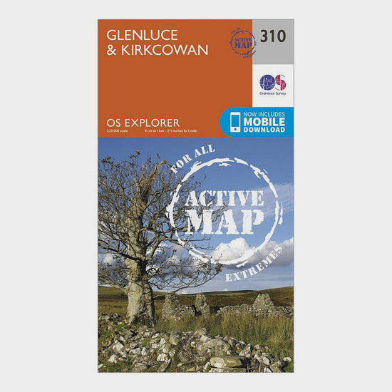
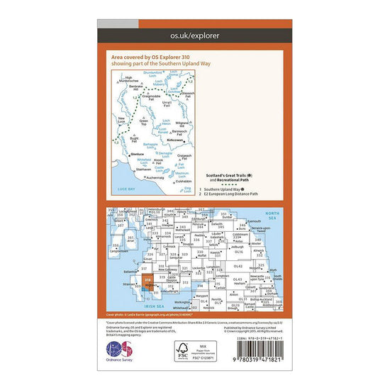
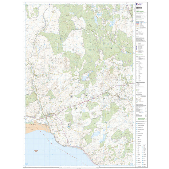
Ordnance Survey Explorer Active 310 Glenluce & Kirkcowan Map With Digital Version£10.20
£17.00(Save 40%)Size in stock : One Size
-
-
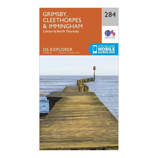
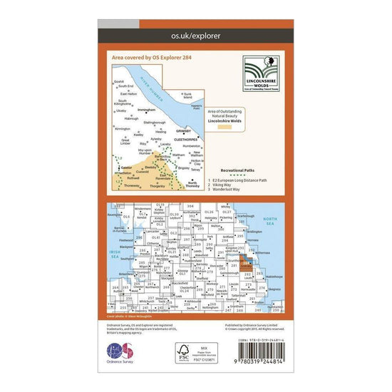
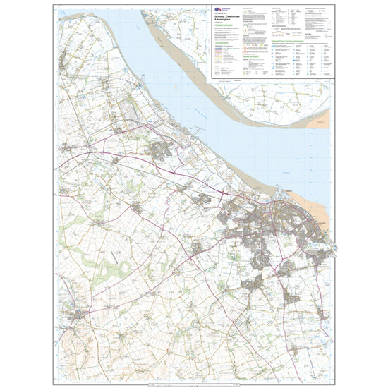
Ordnance Survey Explorer 284 Grimsby, Cleethorpes & Immingham Map With Digital Version£7.80
£13.00(Save 40%)Size in stock : One Size
-
-
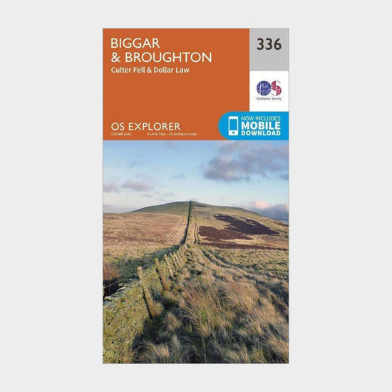
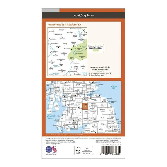
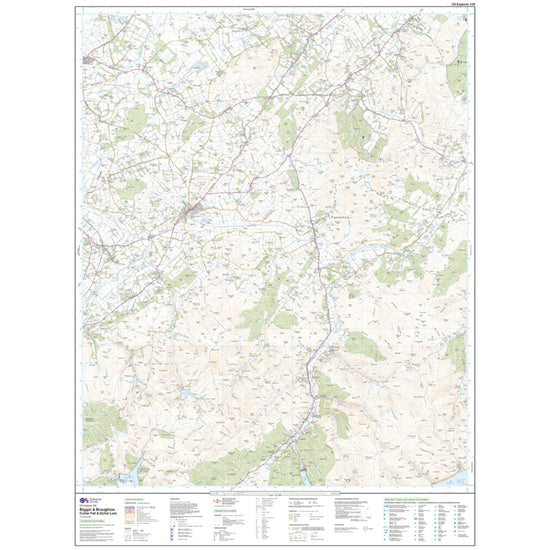
Ordnance Survey Explorer 336 Biggar & Broughton Map With Digital Version£7.80
£13.00(Save 40%)Size in stock : One Size
-


Showing 816 of 918 results
Maps have been used for centuries by hikers, walkers, campers, cyclists, families and adventurers, to unlock the terrain and new adventures. Ordnance Survey is the national mapping agency for Great Britain. Outdoor enthusiasts of all types use Ordnance Survey maps to reach viewpoints, navigate the landscape and discover new places to explore. Traditional paper maps provide outstanding detail of the terrain and allows you to see the routes, landmarks and trails. Ordnance Survey have a varied collection of maps which cover Great Britain, with their active range popular on wet UK adventures. Prefer to go digital? Ordnance Survey also has a range of options for GPS devices and smartphones allowing you to plot your map and see on your device the route ahead.