
Showing 624 of 918 results
-
-
-
-
-
-
-
-
-
-
-
-
-
-
-
-
-
-
-
-
-
-
-
-
-
-
-
-
-
-
-
-
-
-
-
-
-
-
-
-
-
-
-
-
-
-
-
-
-
-
-
-
-
-
-
-
-
-
-
-
-
-
-
-
-
-
-
-
-
-
-
-
-
-
-
-
-
-
-
-
-
-
-
-
-
-
-
-
-
-
-
-
-
-
-
-
-
-
-
-
-
-
-
-
-
-
-
-
-
-
-
-
-
-
-
-
-
-
-
-
-
-
-
-
-
-
-
-
-
-
-
-
-
-
-
-
-
-
-
-
-
-
-
-
-
-
-
-
-
-
-
-
-
-
-
-
-
-
-
-
-
-
-
-
-
-
-
-
-
-
-
-
-
-
-
-
-
-
-
-
-
-
-
-
-
-
-
-
-
-
-
-
-
-
-
-
-
-
-
-
-
-
-
-
-
-
-
-
-
-
-
-
-
-
-
-
-
-
-
-
-
-
-
-
-
-
-
-
-
-
-
-
-
-
-
-
-
-
-
-
-
-
-
-
-
-
-
-
-
-
-
-
-
-
-
-
-
-
-
-
-
-
-
-
-
-
-
-
-
-
-
-
-
-
-
-
-
-
-
-
-
-
-
-
-
-
-
-
-
-
-
-
-
-
-
-
-
-
-
-
-
-
-
-
-
-
-
-
-
-
-
-
-
-
-
-
-
-
-
-
-
-
-
-
-
-
-
-
-
-
-
-
-
-
-
-
-
-
-
-
-
-
-
-
-
-
-
-
-
-
-
-
-
-
-
-
-
-
-
-
-
-
-
-
-
-
-
-
-
-
-
-
-
-
-
-
-
-
-
-
-
-
-
-
-
-
-
-
-
-
-
-
-
-
-
-
-
-
-
-
-
-
-
-
-
-
-
-
-
-
-
-
-
-
-
-
-
-
-
-
-
-
-
-
-
-
-
-
-
-
-
-
-
-
-
-
-
-
-
-
-
-
-
-
-
-
-
-
-
-
-
-
-
-
-
-
-
-
-
-
-
-
-
-
-
-
-
-
-
-
-
-
-
-
-
-
-
-
-
-
-
-
-
-
-
-
-
-
-
-
-
-
-
-
-
-
-
-
-
-
-
-
-
-
-
-
-
-
-
-
-
-
-
-
-
-
-
-
-
-
-
-
-
-
-
-
-
-
-
-
-
-
-
-
-
-
-
-
-
-
-
-
-
-
-
-
-
-
-
-
-
-
-
-
-
-
-
-
-
-
-
-
-
-
-
-
-
-
-
-
-
-
-
-
-
-
-
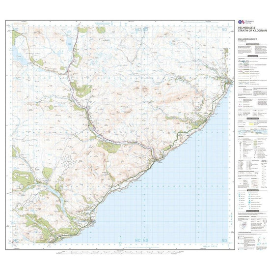
 Ordnance Survey Landranger Active 17 Helmsdale & Strath of Kildonan Map With Digital Version£10.20
£17.00(Save 40%)Size in stock : One Size
-
-
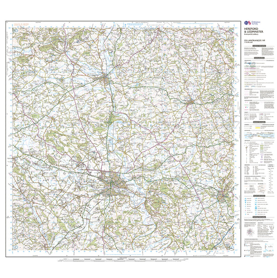
 Ordnance Survey Landranger Active 149 Hereford & Leominster, Bromyard & Ledbury Map With Digital Version£10.20
£17.00(Save 40%)Size in stock : One Size
-
-
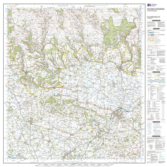
 Ordnance Survey Landranger Active 100 Malton & Pickering, Helmsley & Easingwold Map With Digital Version£10.20
£17.00(Save 40%)Size in stock : One Size
-
-
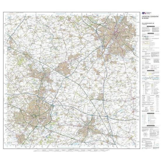
 Ordnance Survey Landranger 140 Leicester, Coventry & Rugby Map With Digital Version£7.80
£13.00(Save 40%)Size in stock : One Size
-
-
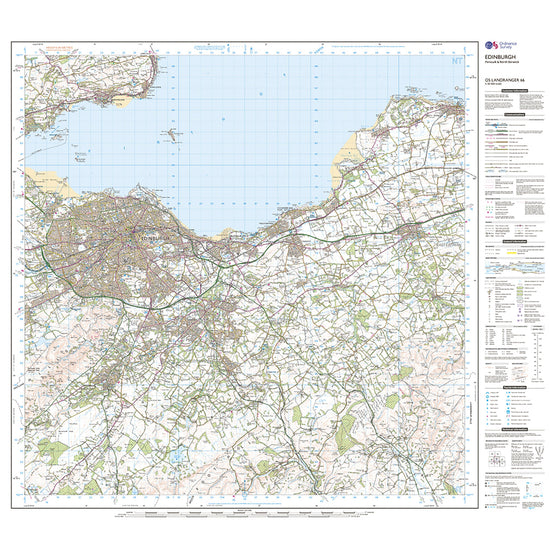
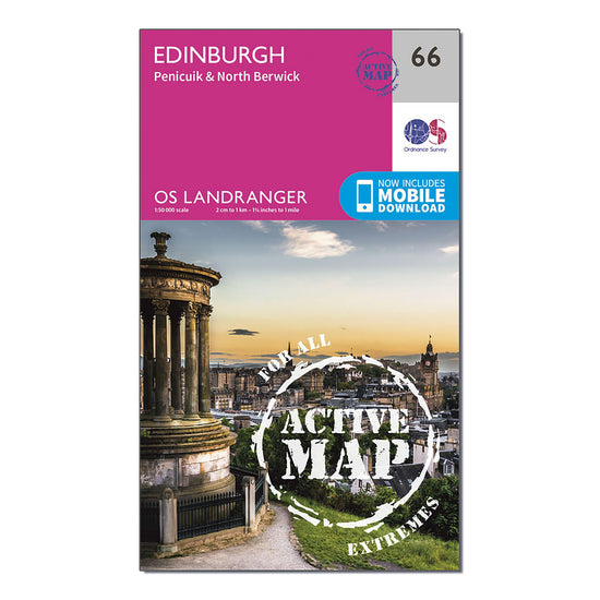 Ordnance Survey Landranger Active 66 Edinburgh, Penicuik & North Berwick Map With Digital Version£10.20
£17.00(Save 40%)Size in stock : One Size
-
-
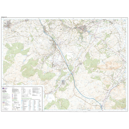
 Ordnance Survey Explorer 335 Lanark & Tinto Hills Map With Digital Version£7.80
£13.00(Save 40%)Size in stock : One Size
-
-
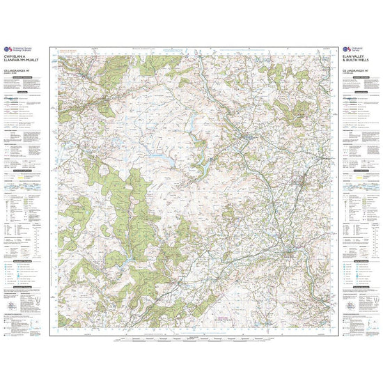
 Ordnance Survey Landranger Active 147 Elan Valley & Builth Wells Map With Digital Version£10.20
£17.00(Save 40%)Size in stock : One Size
-
-
 Ordnance Survey Landranger Active 141 Kettering & Corby Map With Digital Version£10.20
£17.00(Save 40%)Size in stock : One Size
-
-
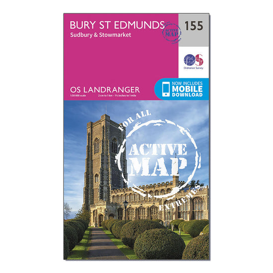
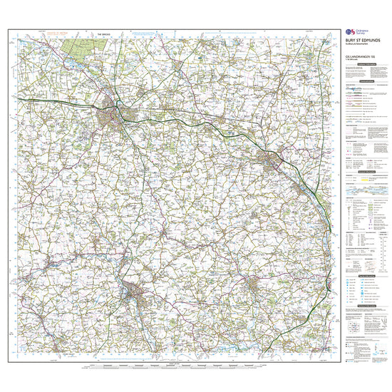
 Ordnance Survey Landranger Active 155 Bury St Edmunds, Sudbury & Stowmarket Map With Digital Version£10.20
£17.00(Save 40%)Size in stock : One Size
-
-
Ordnance Survey Landranger Active 161 The Black Mountains Map With Digital Version£10.20
£17.00(Save 40%)Size in stock : One Size
-
-
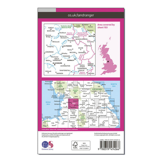
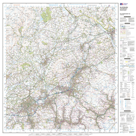
Ordnance Survey Landranger Active 103 Blackburn & Burnley, Clitheroe & Skipton Map With Digital Version£10.20
£17.00(Save 40%)Size in stock : One Size
-
-
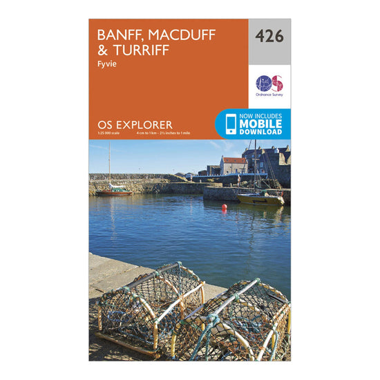
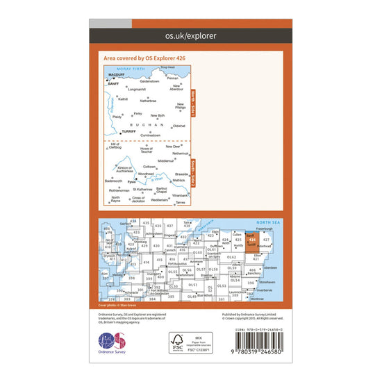
Ordnance Survey Explorer 426 Banff, Macduff & Turriff Map With Digital Version£7.80
£13.00(Save 40%)Size in stock : One Size
-
-
Ordnance Survey Explorer Active 362 Cowal West & Isle of Bute Map With Digital Version£10.20
£17.00(Save 40%)Size in stock : One Size
-
-
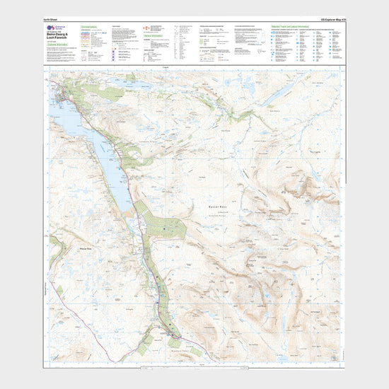
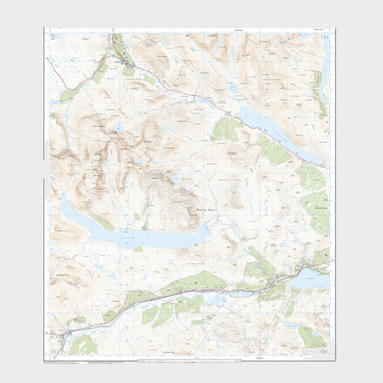
Ordnance Survey Explorer Active 436 Beinn Dearg & Loch Fannich Map With Digital Version£10.20
£17.00(Save 40%)Size in stock : One Size
-
-
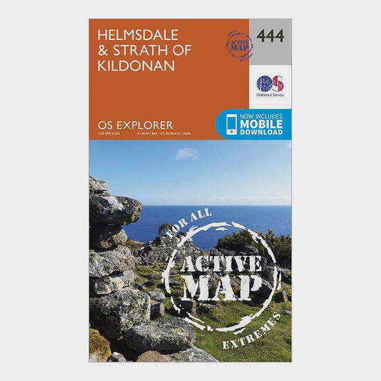
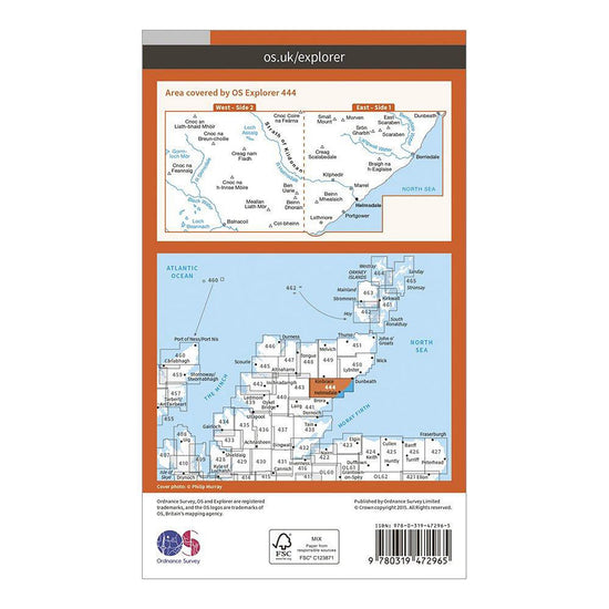
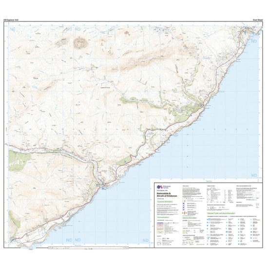
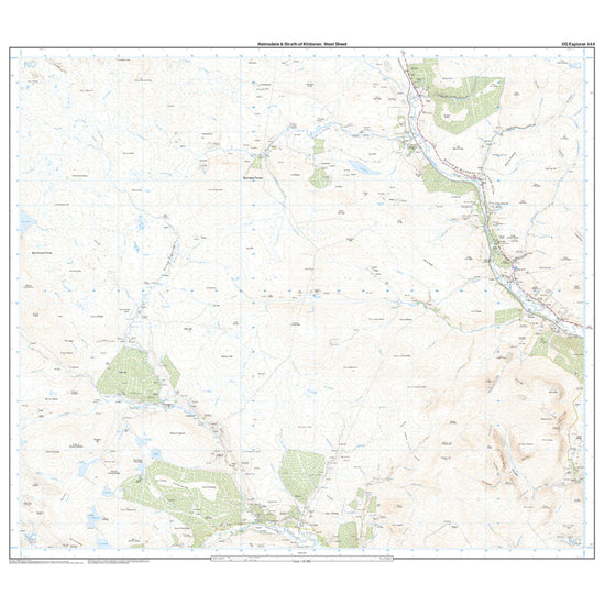
Ordnance Survey Explorer Active 444 Helmsdale & Strath of Kildonan Map With Digital Version£10.20
£17.00(Save 40%)Size in stock : One Size
-
-
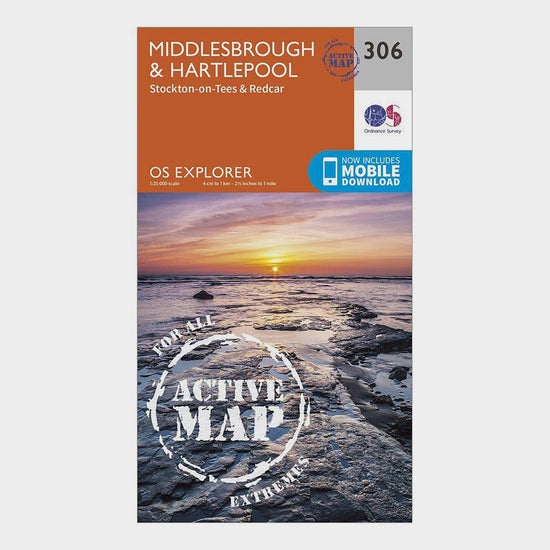
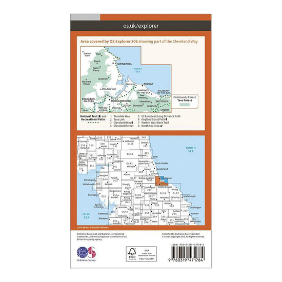
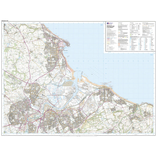
Ordnance Survey Explorer 306 Middlesbrough & Hartlepool Active Map£10.20
£17.00(Save 40%)Size in stock : One Size
-
-
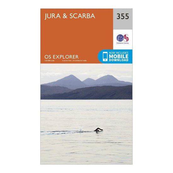
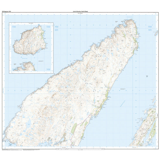
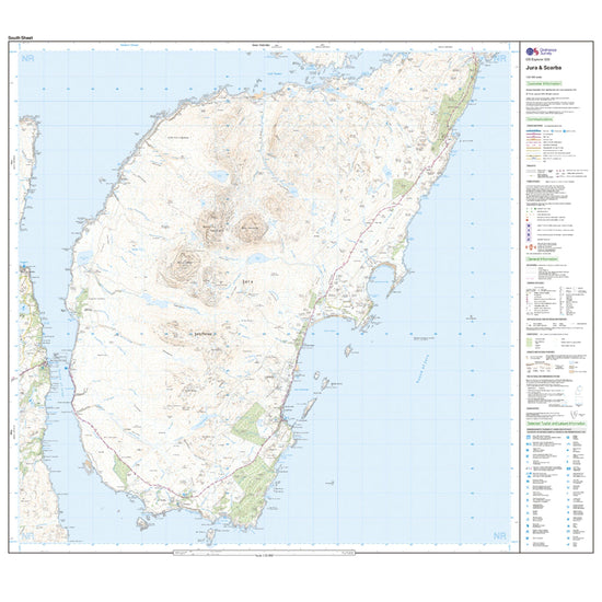
Ordnance Survey Explorer 355 Jura & Scarba Map With Digital Version£7.80
£13.00(Save 40%)Size in stock : One Size
-
-
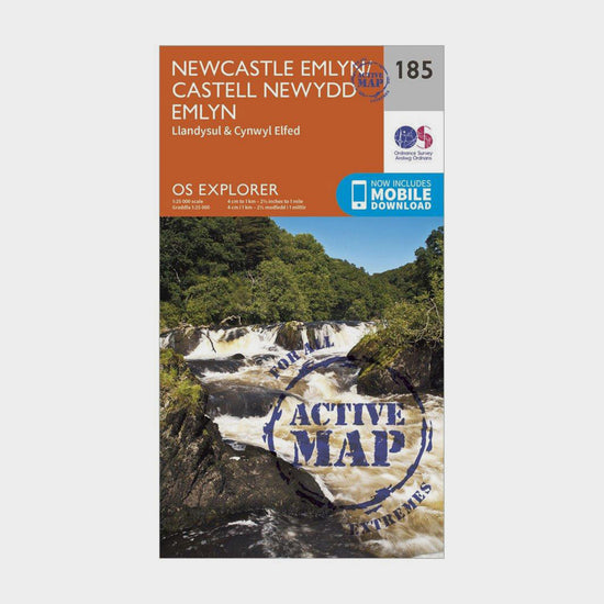
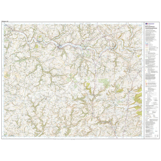
Ordnance Survey Explorer Active 185 Newcastle Emlyn, Llandysul & Cynwyl Elfed Map With Digital Version£10.20
£17.00(Save 40%)Size in stock : One Size
-
-
Ordnance Survey Pathfinder 03 - Isle Of Skye£11.00
£13.00(Save 15%)Size in stock : One Size
-
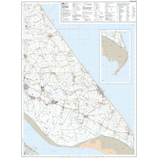
Ordnance Survey Explorer Active 292 Withernsea & Spurn Head Map With Digital Version£10.20
£17.00(Save 40%)Size in stock : One Size
-
-
Ordnance Survey Explorer Active 389 Forfar, Brechin & Edzell Map With Digital Version£10.20
£17.00(Save 40%)Size in stock : One Size
-
-
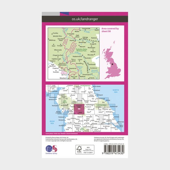
Ordnance Survey Landranger Active 98 Wensleydale & Upper Wharfedale Map With Digital Version£10.20
£17.00(Save 40%)Size in stock : One Size
-
-
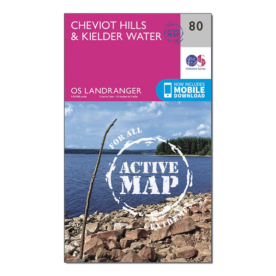
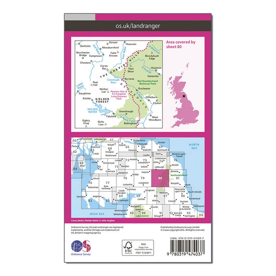
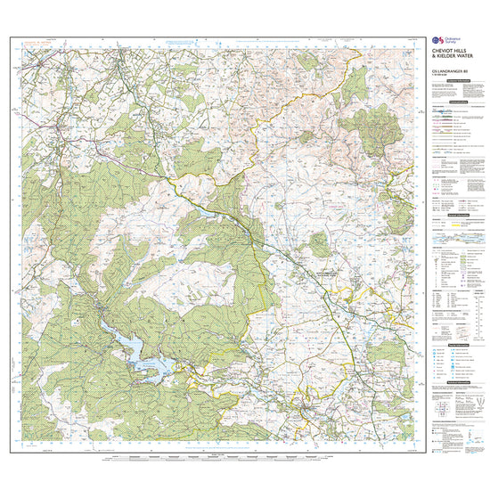
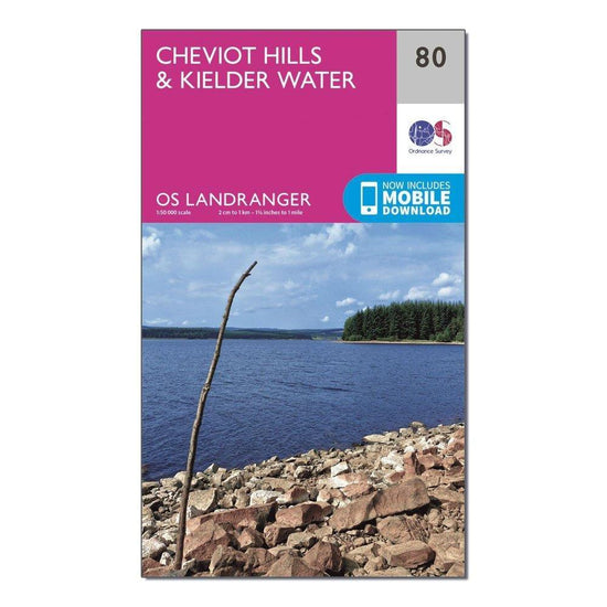
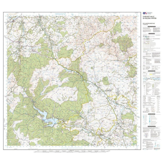
Ordnance Survey Landranger Active 80 Cheviot Hills & Kielder Water Map With Digital Version£10.20
£17.00(Save 40%)Size in stock : One Size
-
-
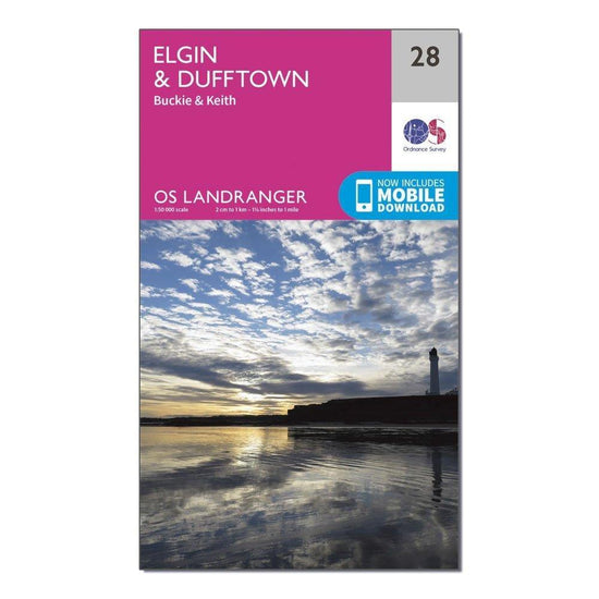
Ordnance Survey Landranger 28 Elgin, Dufftown, Buckie & Keith Map With Digital Version£7.80
£13.00(Save 40%)Size in stock : One Size
-
-
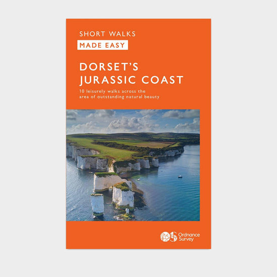
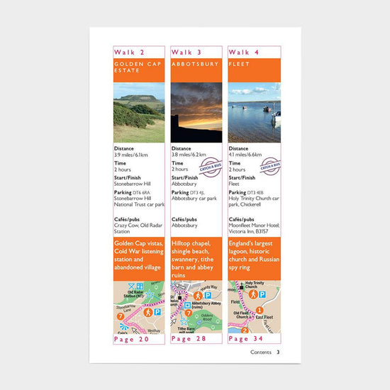
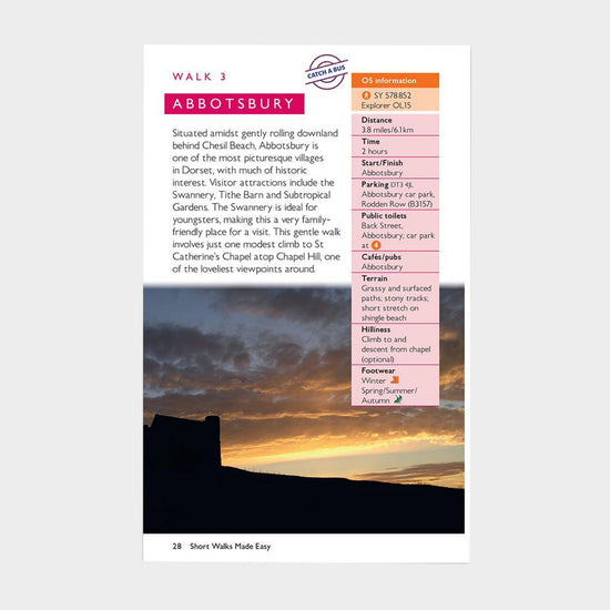
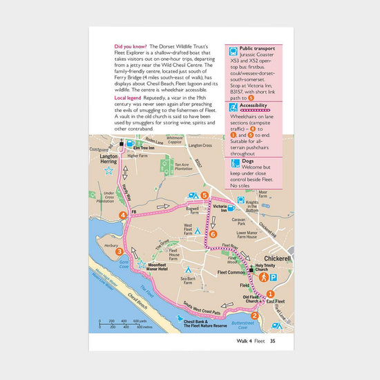
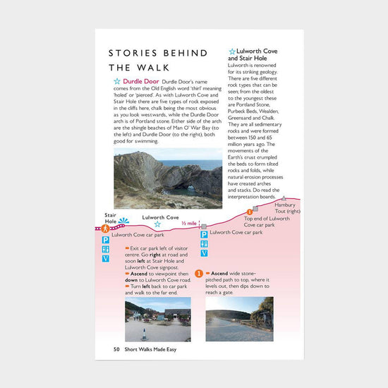
Ordnance Survey Short Walks Made Easy - Jurassic Coast£6.00
£7.00(Save 14%)Size in stock : One Size
-
-
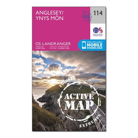
Ordnance Survey Landranger Active 114 Anglesey Map With Digital Version£10.20
£17.00(Save 40%)Size in stock : One Size
-
-
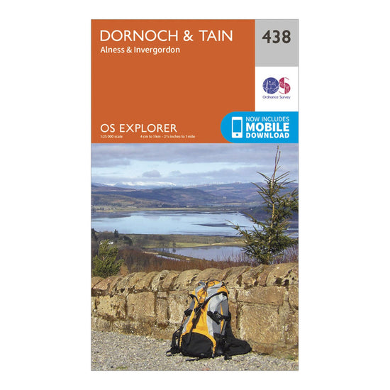
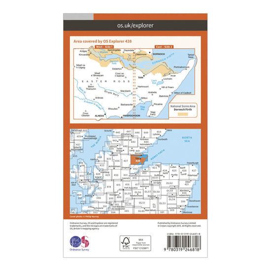
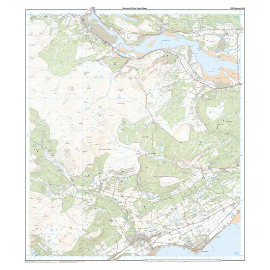
Ordnance Survey Explorer 438 Dornoch & Tain Map With Digital Version£7.80
£13.00(Save 40%)Size in stock : One Size
-
-
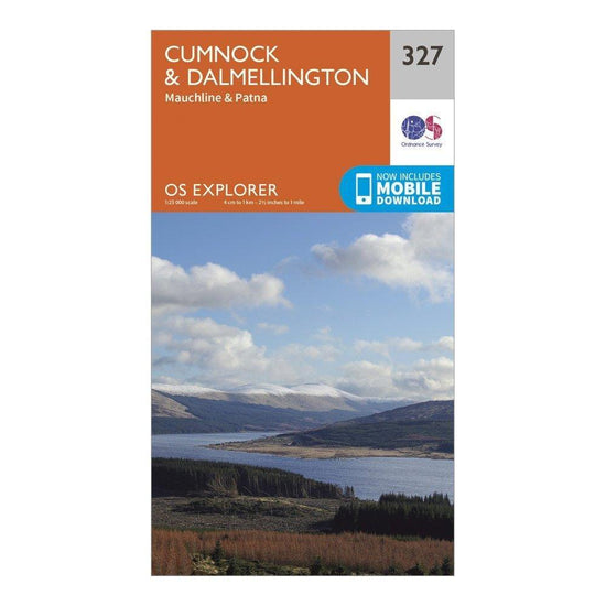
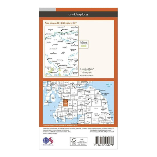
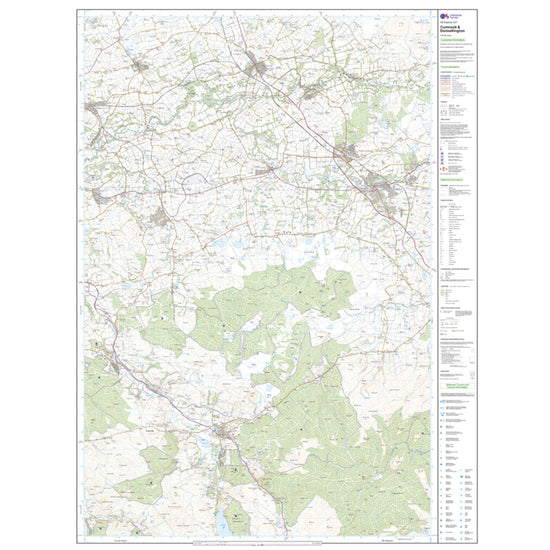
Ordnance Survey Explorer 327 Cumnock & Dalmellington Map With Digital Version£7.80
£13.00(Save 40%)Size in stock : One Size
-
-
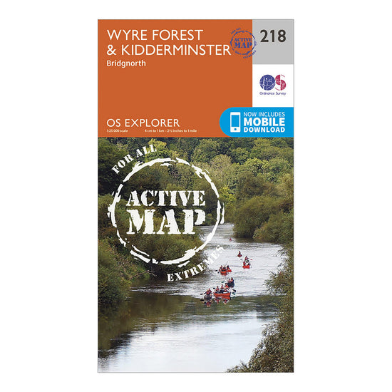
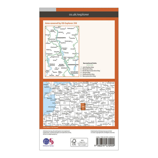
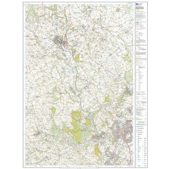
Ordnance Survey Explorer Active 218 Kidderminster & Wyre Forest Map With Digital Version£10.20
£17.00(Save 40%)Size in stock : One Size
-
-
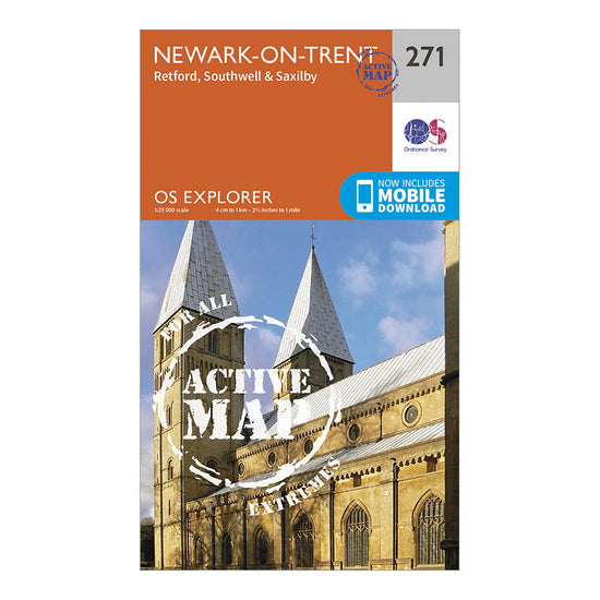
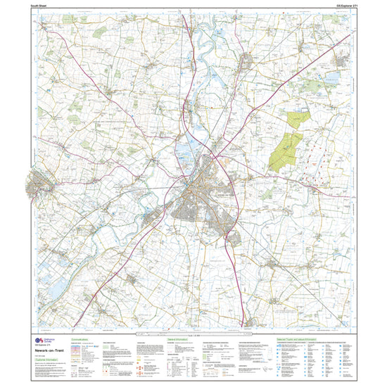
Ordnance Survey Explorer Active 271 Newark-on-Trent Map With Digital Version£10.20
£17.00(Save 40%)Size in stock : One Size
-
-
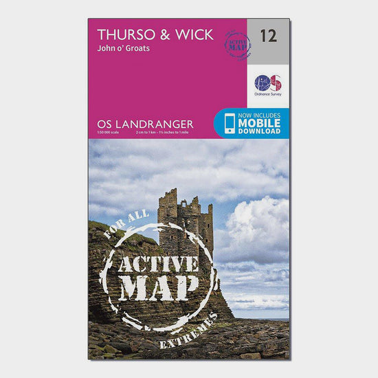
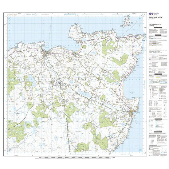
Ordnance Survey Landranger Active 12 Thurso & Wick, John O'Groats Map With Digital Version£10.20
£17.00(Save 40%)Size in stock : One Size
-
-
Ordnance Survey Explorer 458 West Lewis Map With Digital Version£7.80
£13.00(Save 40%)Size in stock : One Size
-
-
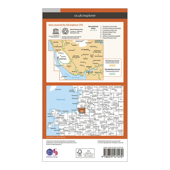
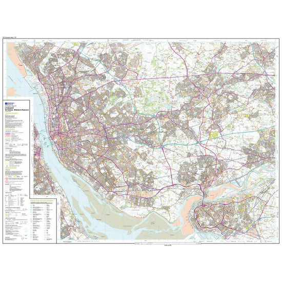
Ordnance Survey Explorer Active 275 Liverpool, St Helens, Widnes & Runcorn Map With Digital Version£10.20
£17.00(Save 40%)Size in stock : One Size
-
-
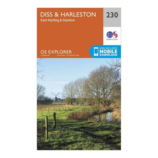
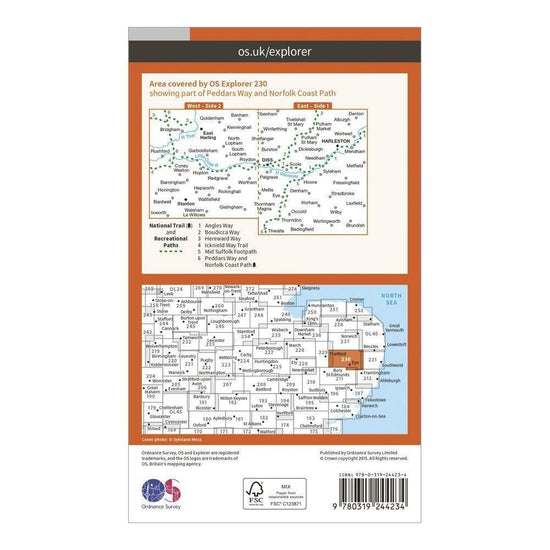
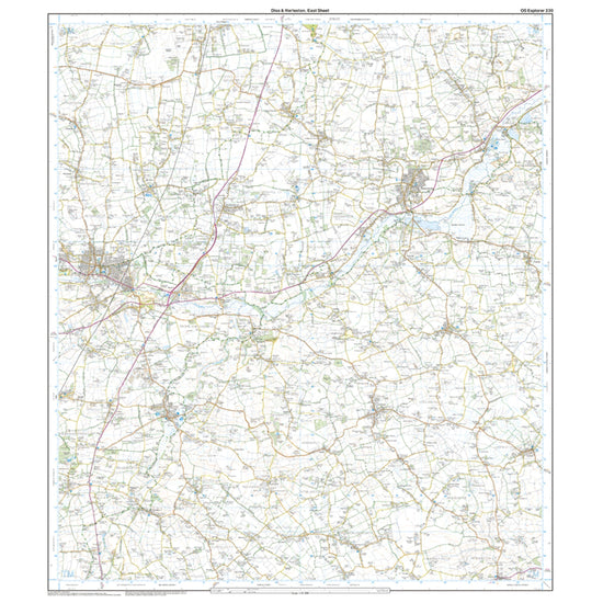
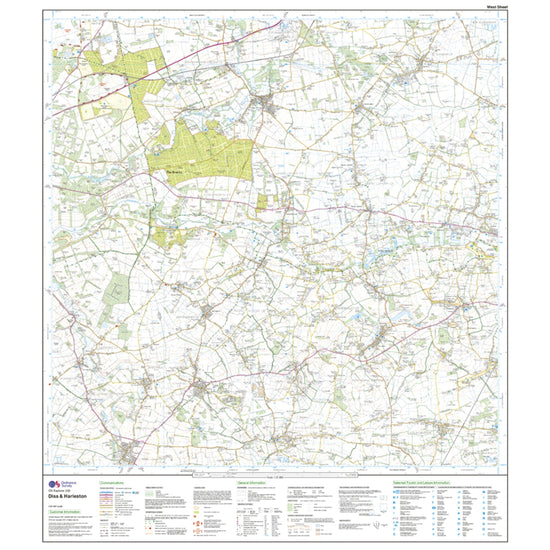
Ordnance Survey Explorer 230 Diss & Harleston Map With Digital Version£7.80
£13.00(Save 40%)Size in stock : One Size
-
-
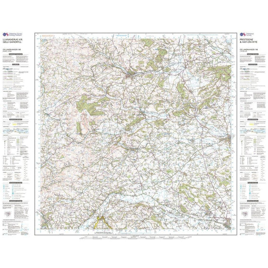
Ordnance Survey Landranger 148 Presteigne & Hay-on-Wye / Llanandras a'r Gelli Gandryll Map With Digital Version£7.80
£13.00(Save 40%)Size in stock : One Size
-
-
Ordnance Survey Landranger 80 Cheviot Hills & Kielder Water Map£7.80
£13.00(Save 40%)Size in stock : One Size
-
-
Ordnance Survey Explorer 159 Reading, Wokingham & Pangbourne Map With Digital Version£7.80
£13.00(Save 40%)Size in stock : One Size
-
-
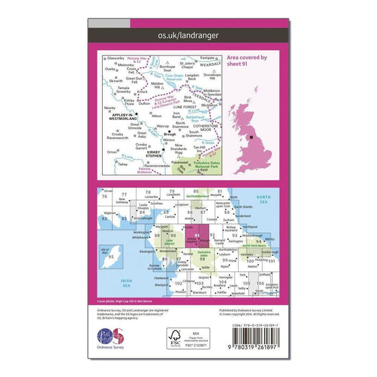
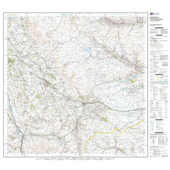
Ordnance Survey Landranger 91 Appleby-in-Westmorland Map With Digital Version£7.80
£13.00(Save 40%)Size in stock : One Size
-
-
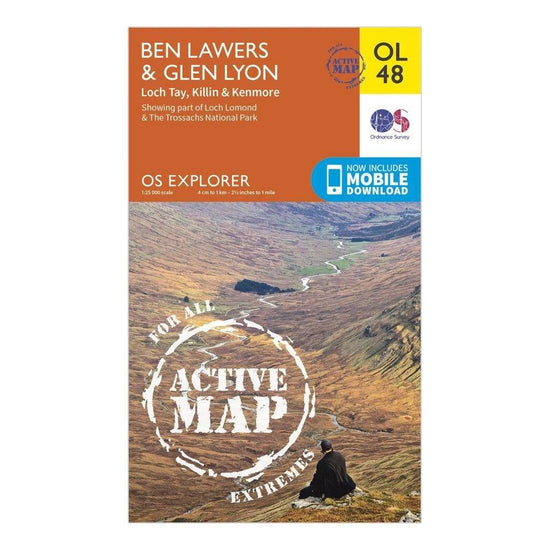
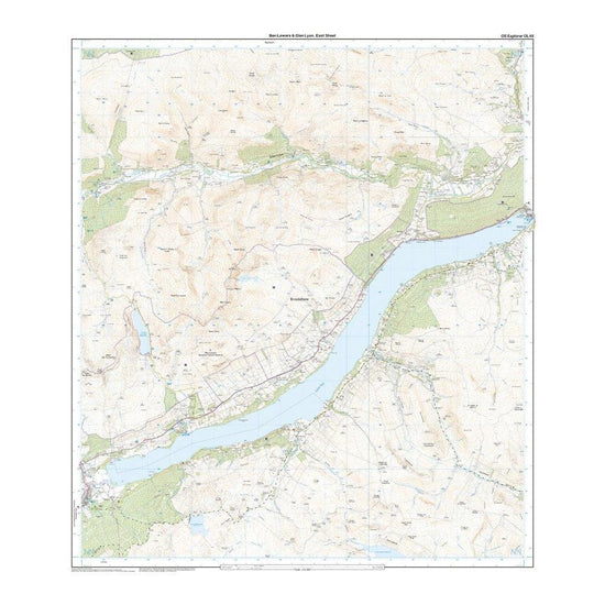
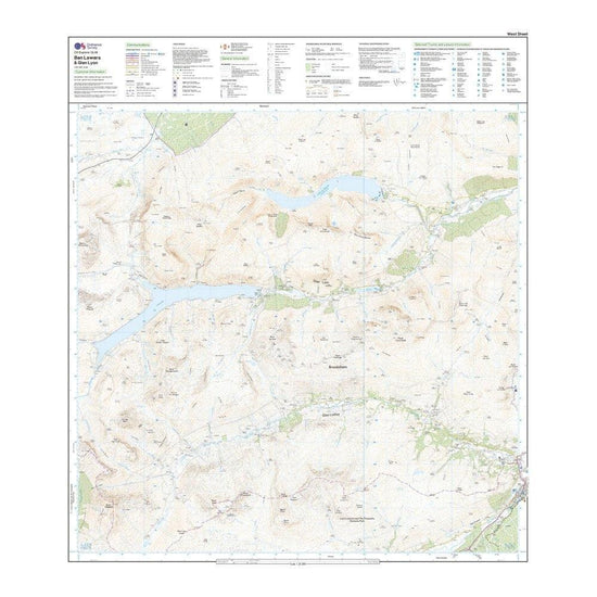
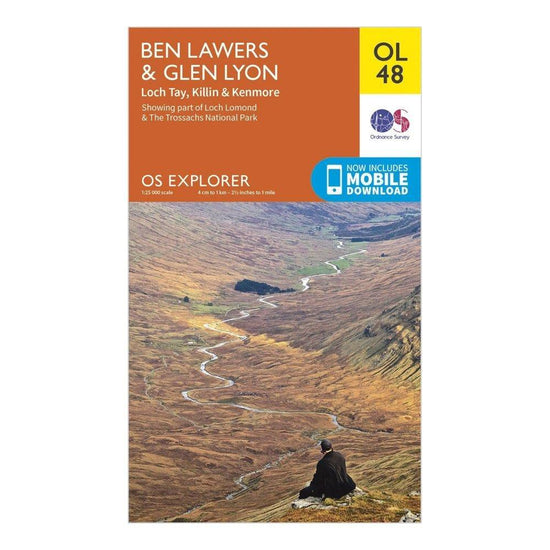
Ordnance Survey Explorer Active OL48 Ben Lawers & Glen Lyon Map With Digital Version£10.20
£17.00(Save 40%)Size in stock : One Size
-
-
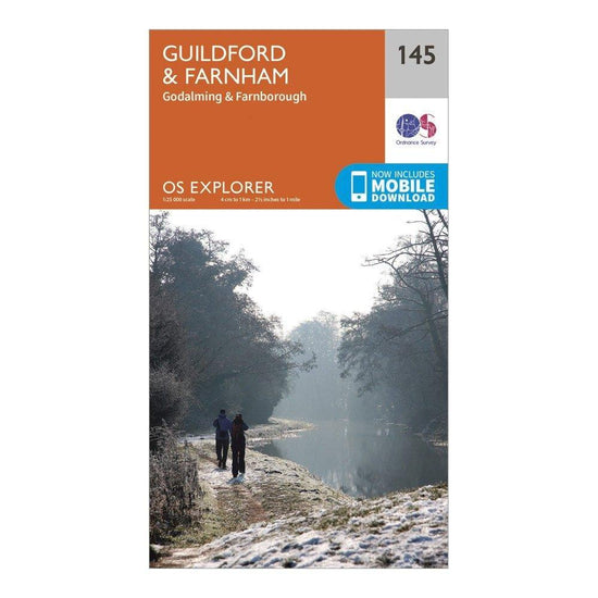
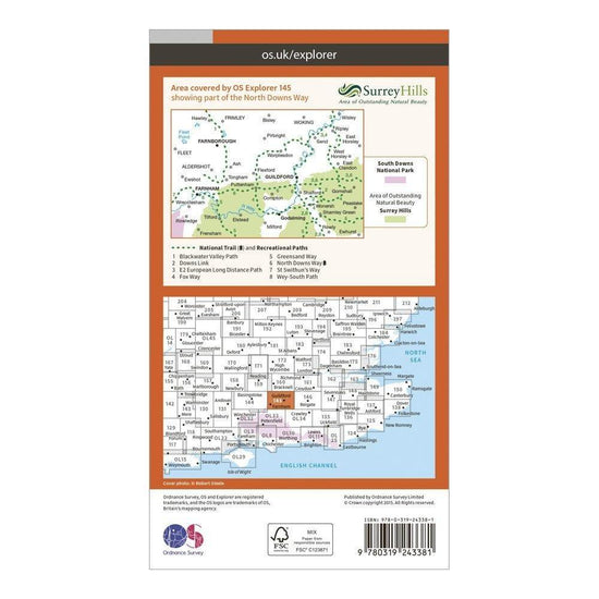
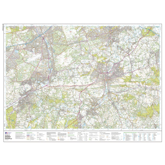
Ordnance Survey Explorer 145 Guildford & Farnham Map With Digital Version£7.80
£13.00(Save 40%)Size in stock : One Size
-
-
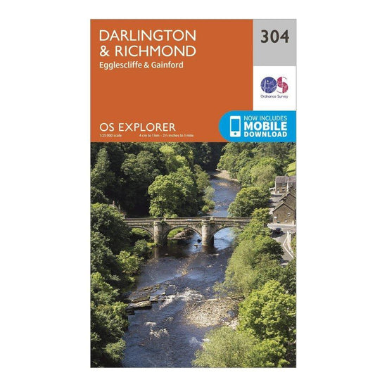
Ordnance Survey Explorer 304 Darlington & Richmond Map With Digital Version£7.80
£13.00(Save 40%)Size in stock : One Size
-
-
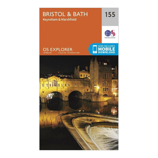
Ordnance Survey Explorer 155 Bristol & Bath Map With Digital Version£7.80
£13.00(Save 40%)Size in stock : One Size
-
-
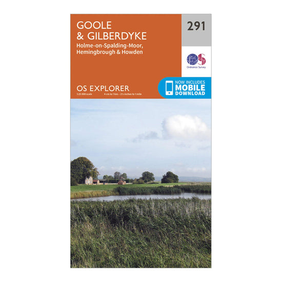
Ordnance Survey Explorer 291 Goole & Gilberdyke Map With Digital Version£7.80
£13.00(Save 40%)Size in stock : One Size
-
-
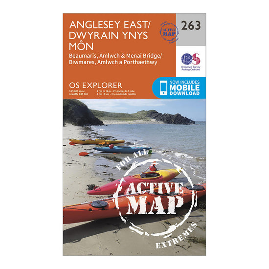
Ordnance Survey Explorer Active 263 Anglesey East Map With Digital Version£10.20
£17.00(Save 40%)Size in stock : One Size
-
-
Ordnance Survey Explorer OL48 Ben Lawers & Glen Lyon Map With Digital Version£7.80
£13.00(Save 40%)Size in stock : One Size
-
-
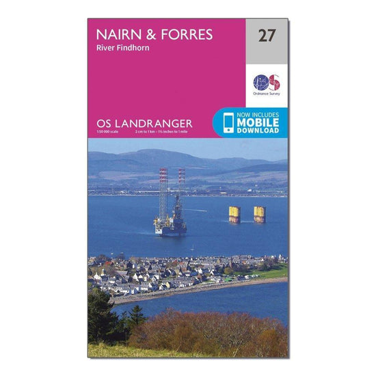
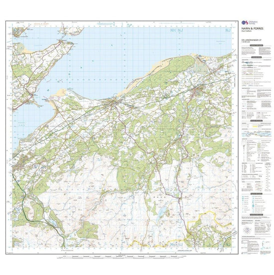
Ordnance Survey Landranger 27 Nairn & Forres, River Findhorn Map With Digital Version£7.80
£13.00(Save 40%)Size in stock : One Size
-
-
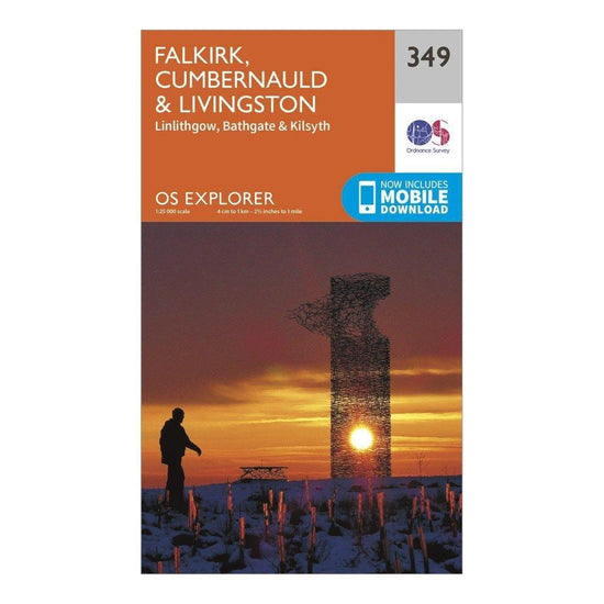
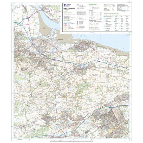
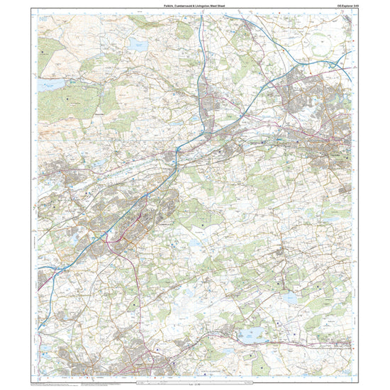
Ordnance Survey Explorer 349 Falkirk, Cumbernauld & Livingston Map With Digital Version£7.80
£13.00(Save 40%)Size in stock : One Size
-
-
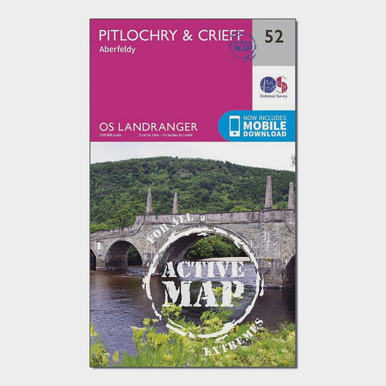
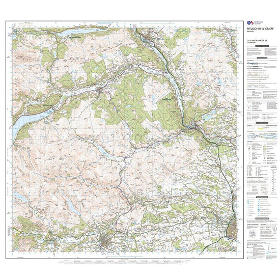
Ordnance Survey Landranger Active 52 Pitlochry & Crieff Map With Digital Version£10.20
£17.00(Save 40%)Size in stock : One Size
-


Showing 624 of 918 results
Maps have been used for centuries by hikers, walkers, campers, cyclists, families and adventurers, to unlock the terrain and new adventures. Ordnance Survey is the national mapping agency for Great Britain. Outdoor enthusiasts of all types use Ordnance Survey maps to reach viewpoints, navigate the landscape and discover new places to explore. Traditional paper maps provide outstanding detail of the terrain and allows you to see the routes, landmarks and trails. Ordnance Survey have a varied collection of maps which cover Great Britain, with their active range popular on wet UK adventures. Prefer to go digital? Ordnance Survey also has a range of options for GPS devices and smartphones allowing you to plot your map and see on your device the route ahead.