Description
The essential map for outdoor activities in Kielder Water and Forest. The OS Explorer Map is the Ordnance Survey's most detailed folding map and is recommended for anyone enjoying outdoor activities including walking, horse riding and off-road cycling. This map now comes with a digital version which you can download to your smartphone or tablet.
- Pennine Way (National Trail)
- E2 (European Long Distance Route)
- Borders
- Northumberland
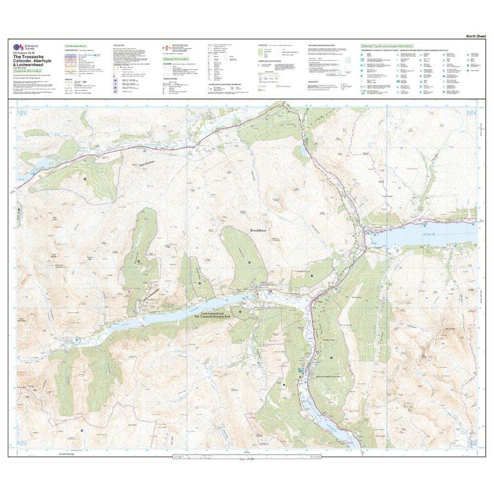
- 1:25 000 scale (4 cm to 1 km ' 2.5 inches to 1 mile)
- This map comes with a digital version which you can download to your smartphone or tablet.
Delivery
Delivery
Standard Delivery (£3.99)
FREE on orders over £70.00
A tracking link will be provided once your order is despatched
*Certain items such as bikes and other large items do not qualify for free delivery. In these cases the available delivery options will be shown at checkout.
Next Day Delivery (£5.99)
Order by 5pm. Delivered by Evri or DHL between 8am and 8pm Monday-Saturday, excluding Bank Holidays. Cannot be offered in the following areas, and will be attempted within 48 hours: BT (all Northern Ireland), GY, IM, JE, KW11-17, HS, PH32-35, ZE.
Certain items such as bikes do not qualify for next delivery. In these cases Next Day Delivery will not be available in the checkout.
Click and Collect
Select a store, and if your items are available in that store then you can pay now and collect the same day. If the item is not available in-store, we will deliver them to the store from our warehouse in 3-5 days.
You will be notified when your order is ready to collect. Please do not travel to store until you have been notified. Orders will be kept in store for 14 days before being cancelled.
Returns
Returns
Returning orders to us is easy. Whatever your reason, we offer a refund or exchange within 28 days of delivery or collection.
Find out more
Complete the look
Related
Ordnance Survey Explorer Active OL46 The Trossachs Map With Digital Version
Free delivery on orders £70+
28 day returns
Product Code: 194579