
Showing 96 of 1069 results
-
-
-
-
-
-
-
-
-
-
-
-
-
-
-
-
-
-
-
-
-
-
-
-
-
-
-
-
-
-
-
-
-
-
-
-
-
-
-
-
-
-
-
-
-
-
-
-
-
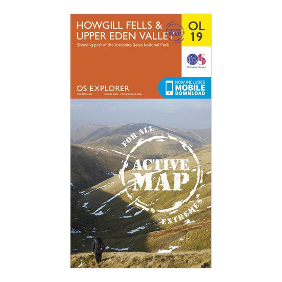 Ordnance Survey Explorer Active OL19 Howgill Fells & Upper Eden Valley Map With Digital Version£10.20
£17.00(Save 40%)Size in stock : One Size
-
-
 Ordnance Survey Explorer Active 298 Nidderdale Map With Digital Version£10.20
£17.00(Save 40%)Size in stock : One Size
-
-
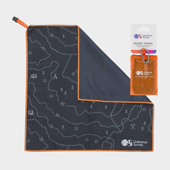
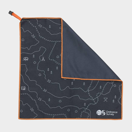 Ordnance Survey Contour Microfibre Small Towel£9.00
£11.00(Save 18%)Size in stock : One Size
-
-
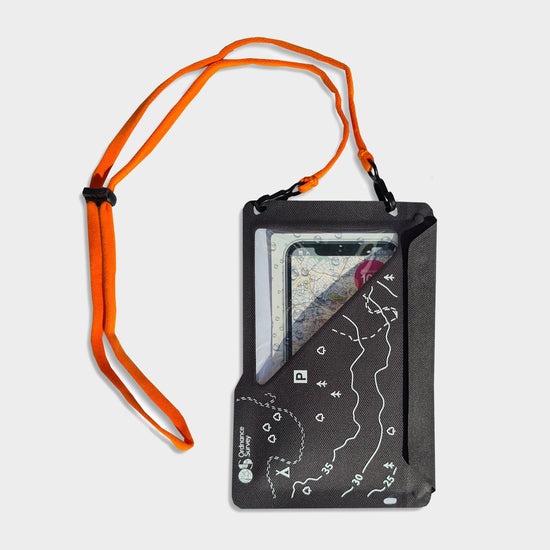
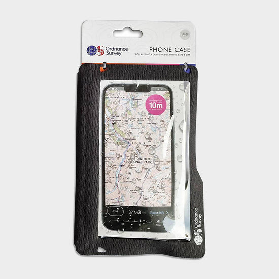
 Ordnance Survey Waterproof Phone Case£13.97
£18.00(Save 22%)SaleSize in stock : One Size
-
-
 Ordnance Survey Explorer 309 Stranrear & The Rhins Map With Digital Version£7.80
£13.00(Save 40%)Size in stock : One Size
-
-
 Ordnance Survey Explorer 251 Norfolk Coast Central Map With Digital Version£7.80
£13.00(Save 40%)Size in stock : One Size
-
-
 Ordnance Survey Explorer Active 146 Dorking, Box Hill & Reigate Map With Digital Version£10.20
£17.00(Save 40%)Size in stock : One Size
-
-
 Ordnance Survey Explorer 250 Norfolk Coast West Map With Digital Version£7.80
£13.00(Save 40%)Size in stock : One Size
-
-
 Ordnance Survey Explorer Active OL23 Cadair Idris & Llyn Tegid Map With Digital Version£10.20
£17.00(Save 40%)Size in stock : One Size
-
-
Ordnance Survey Explorer Active OL30 Yorkshire Dales - Northern & Central Areas Map With Digital Version£10.20
£17.00(Save 40%)Size in stock : One Size
-
-
Ordnance Survey Landranger 133 North East Norfolk, Cromer & Wroxham Map With Digital Version£7.80
£13.00(Save 40%)Size in stock : One Size
-
-
Ordnance Survey Explorer 392 Ben Nevis Map With Digital Version£7.80
£13.00(Save 40%)Size in stock : One Size
-
-
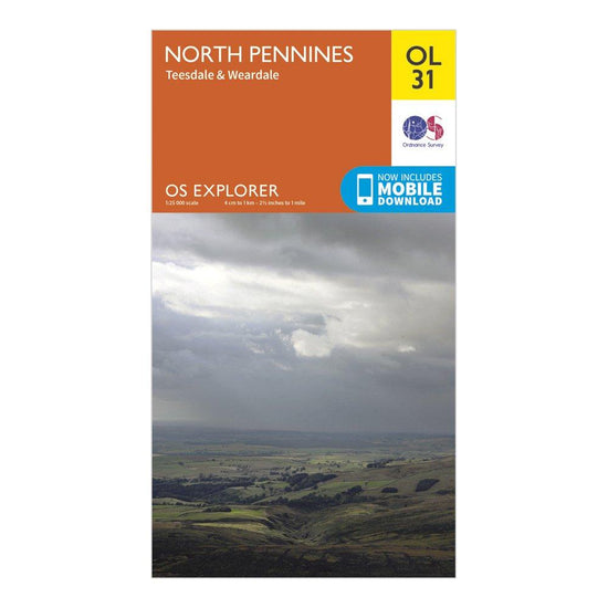
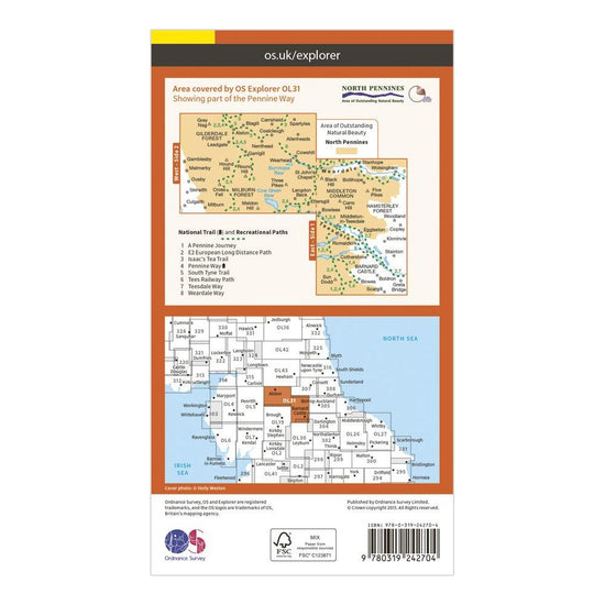
Ordnance Survey Explorer OL31 North Pennines - Teesdale & Weardale Map With Digital Version£7.80
£13.00(Save 40%)Size in stock : One Size
-
-
Ordnance Survey Explorer 139 Bideford, Ilfracombe & Barnstaple Map With Digital Version£7.80
£13.00(Save 40%)Size in stock : One Size
-
-
Ordnance Survey Explorer 252 Norfolk Coast East Map With Digital Version£7.80
£13.00(Save 40%)Size in stock : One Size
-
-
Ordnance Survey Landranger 178 Thames Estuary, Rochester & Southend-on-Sea Map With Digital Version£7.80
£13.00(Save 40%)Size in stock : One Size
-
-
Ordnance Survey OS Landranger 163 Cheltenham & Cirencester, Stow-on-the-Wold Map£7.80
£13.00(Save 40%)Size in stock : One Size
-
-
Ordnance Survey Explorer 362 Cowal West & Isle of Bute Map With Digital Version£7.80
£13.00(Save 40%)Size in stock : One Size
-
-
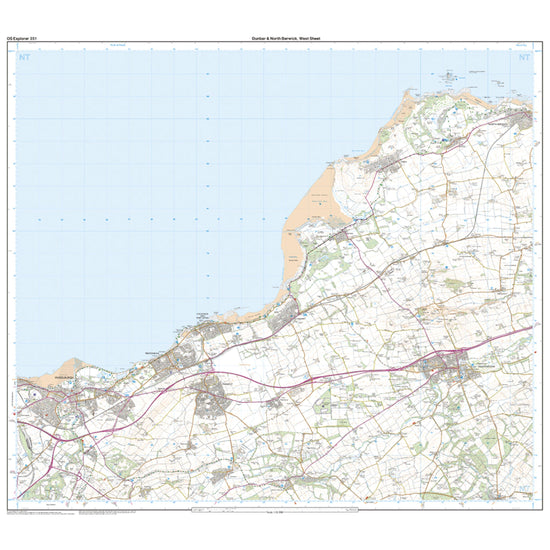
Ordnance Survey Explorer 351 Dunbar & North Berwick Map With Digital Version£7.80
£13.00(Save 40%)Size in stock : One Size
-
-
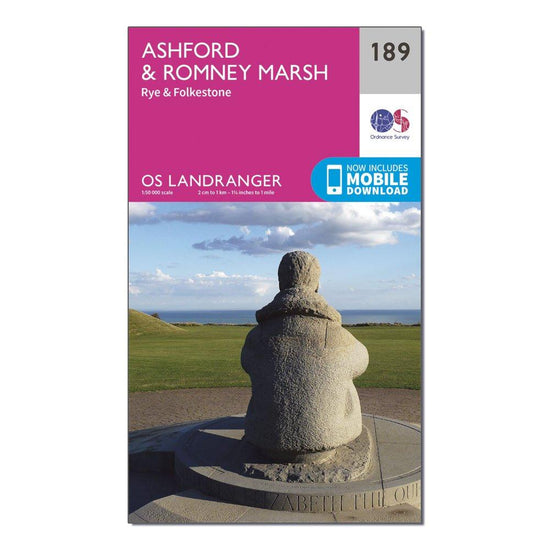
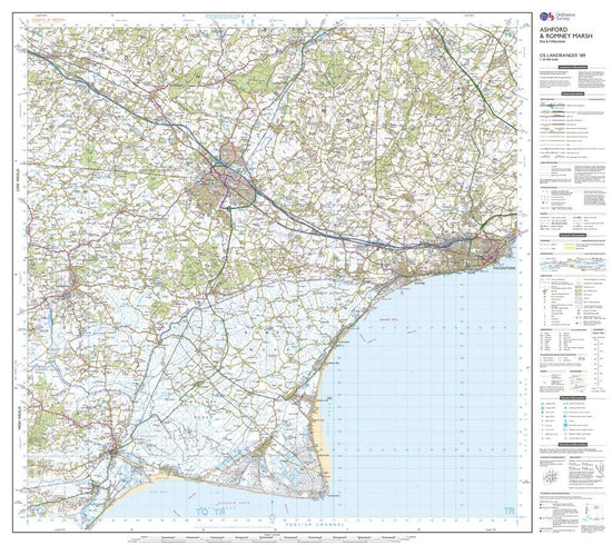
Ordnance Survey Landranger 189 Ashford & Romney Marsh, Rye & Folkestone Map With Digital Version£7.80
£13.00(Save 40%)Size in stock : One Size
-
-
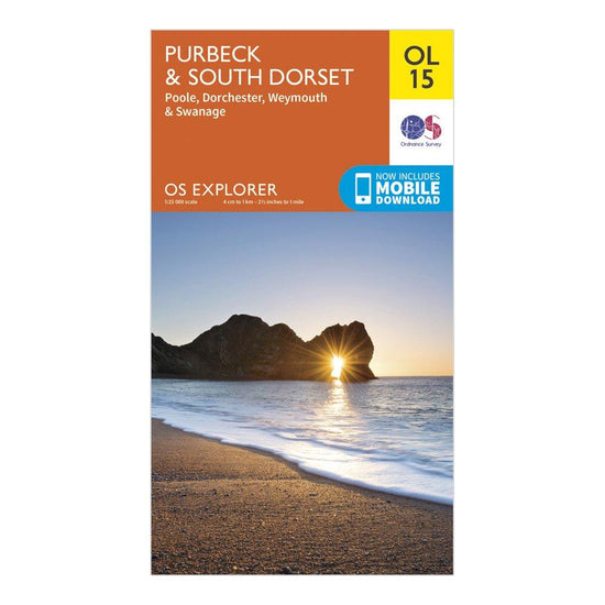
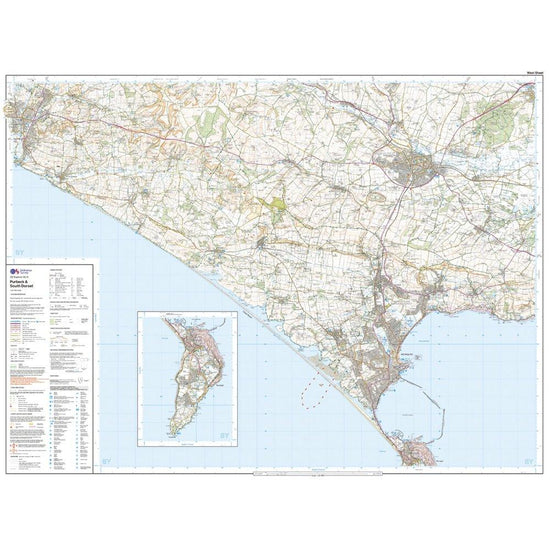
Ordnance Survey Explorer OL15 Purbeck & South Dorset Map With Digital Version£7.80
£13.00(Save 40%)Size in stock : One Size
-
-
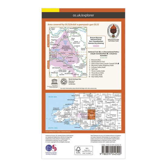
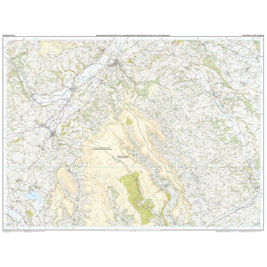
Ordnance Survey Explorer OL13 Brecon Beacons National Park - Eastern Area Map With Digital Version£7.80
£13.00(Save 40%)Size in stock : One Size
-
-
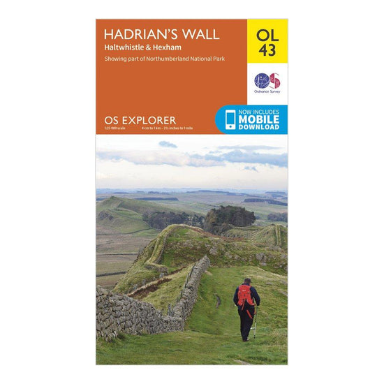
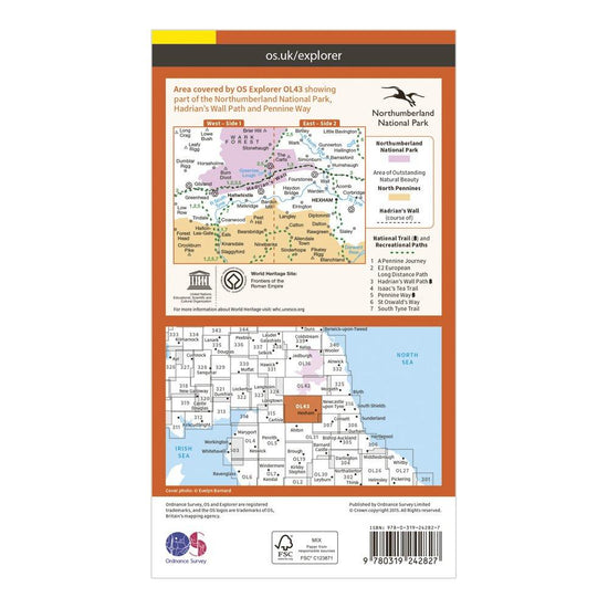
Ordnance Survey Explorer OL43 Hadrian's Wall Map With Digital Version£7.80
£13.00(Save 40%)Size in stock : One Size
-
-
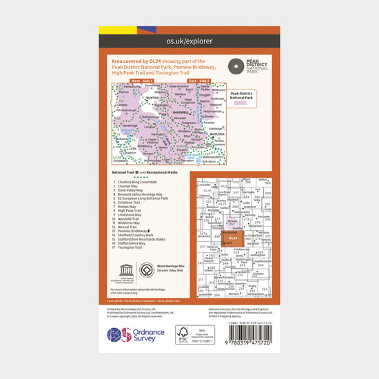
Ordnance Survey Active Explorer OL 24 The Peak District (White Peak Area) Map£10.20
£17.00(Save 40%)Size in stock : One Size
-
-
Ordnance Survey Waterproof Phone Case Large£19.00
£20.00Size in stock : One Size
-
Ordnance Survey Landranger Active 33 Loch Alsh, Glen Shiel & Loch Hourn Map With Digital Version£10.20
£17.00(Save 40%)Size in stock : One Size
-
-
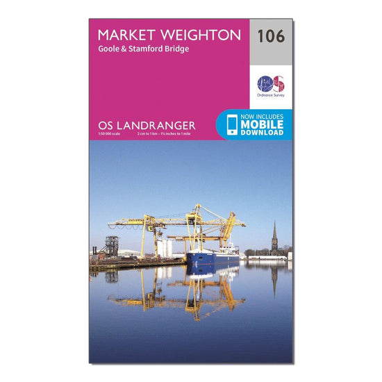
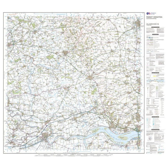
Ordnance Survey Landranger 106 Market Weighton, Goole & Stamford Bridge Map With Digital Version£7.80
£13.00(Save 40%)Size in stock : One Size
-
-
Ordnance Survey Explorer 288 Bradford & Huddersfield Map With Digital Version£7.80
£13.00(Save 40%)Size in stock : One Size
-
-
Ordnance Survey Explorer 396 Stonehaven, Inverbervie & Laurencekirk Map With Digital Version£7.80
£13.00(Save 40%)Size in stock : One Size
-
-
Ordnance Survey Landranger Active 149 Hereford & Leominster, Bromyard & Ledbury Map With Digital Version£10.20
£17.00(Save 40%)Size in stock : One Size
-
-
Ordnance Survey Landranger Active 156 Saxmundham, Aldeburgh & Southwold Map With Digital Version£10.20
£17.00(Save 40%)Size in stock : One Size
-
-
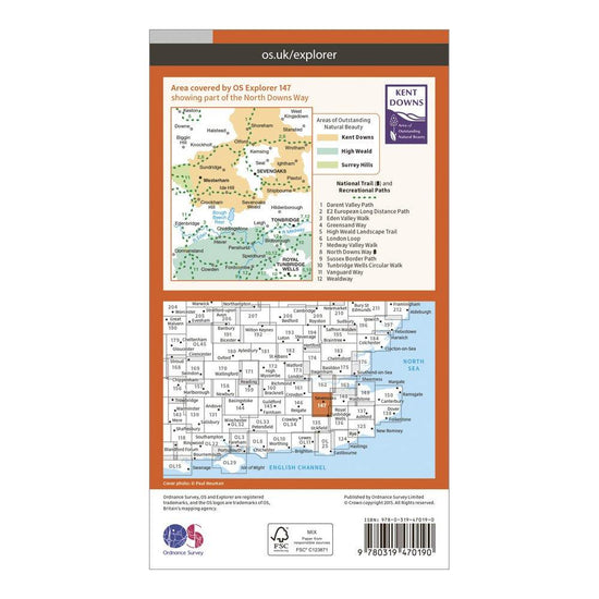
Ordnance Survey Explorer Active 147 Sevenoaks & Tonbridge Map With Digital Version£10.20
£17.00(Save 40%)Size in stock : One Size
-
-
Ordnance Survey Landranger Active 141 Kettering & Corby Map With Digital Version£10.20
£17.00(Save 40%)Size in stock : One Size
-
-
Ordnance Survey Landranger Active 32 South Skye & Cuillin Hills Map With Digital Version£10.20
£17.00(Save 40%)Size in stock : One Size
-
-
Ordnance Survey Explorer Active 127 South Molton & Chulmleigh Map With Digital Version£10.20
£17.00(Save 40%)Size in stock : One Size
-
-
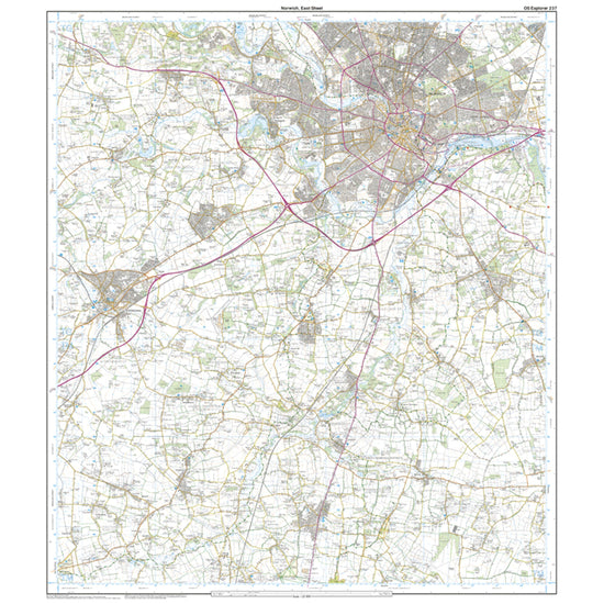
Ordnance Survey Explorer 237 Norwich Map With Digital Version£7.80
£13.00(Save 40%)Size in stock : One Size
-
-
Ordnance Survey Explorer Active 224 Corby, Kettering & Wellingborough Map With Digital Version£10.20
£17.00(Save 40%)Size in stock : One Size
-
-
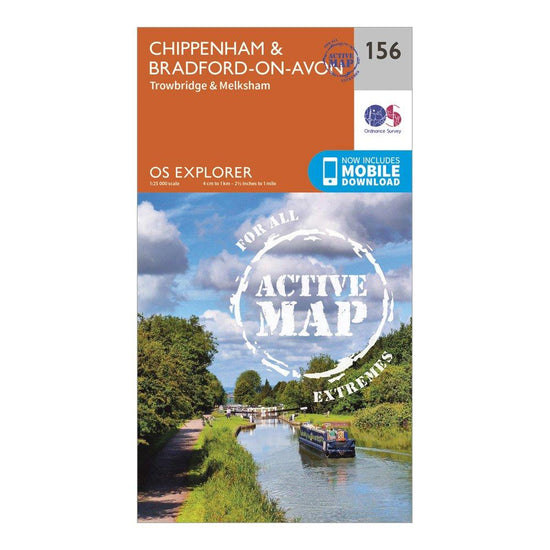
Ordnance Survey Explorer Active 156 Chippenham & Bradford-on-Avon Map With Digital Version£10.20
£17.00(Save 40%)Size in stock : One Size
-
-
Ordnance Survey Explorer Active 101 Isles of Scilly Map With Digital Version£10.20
£17.00(Save 40%)Size in stock : One Size
-
-
Ordnance Survey Landranger 66 Edinburgh, Penicuik & North Berwick Map With Digital Version£7.80
£13.00(Save 40%)Size in stock : One Size
-
-
Ordnance Survey Landranger Active 56 Loch Lomond & Inveraray Map With Digital Version£10.20
£17.00(Save 40%)Size in stock : One Size
-
-
Ordnance Survey Explorer 461 Orkney – East Mainland Map With Digital Version£7.80
£13.00(Save 40%)Size in stock : one size
-
-
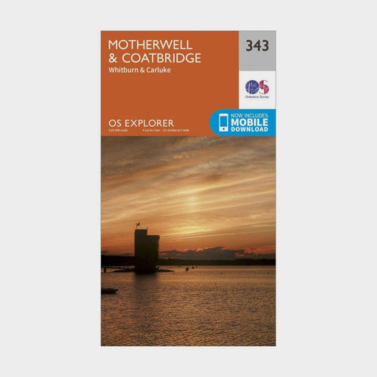
Ordnance Survey Explorer 343 Motherwell & Coatbridge Map With Digital Version£7.80
£13.00(Save 40%)Size in stock : One Size
-
-
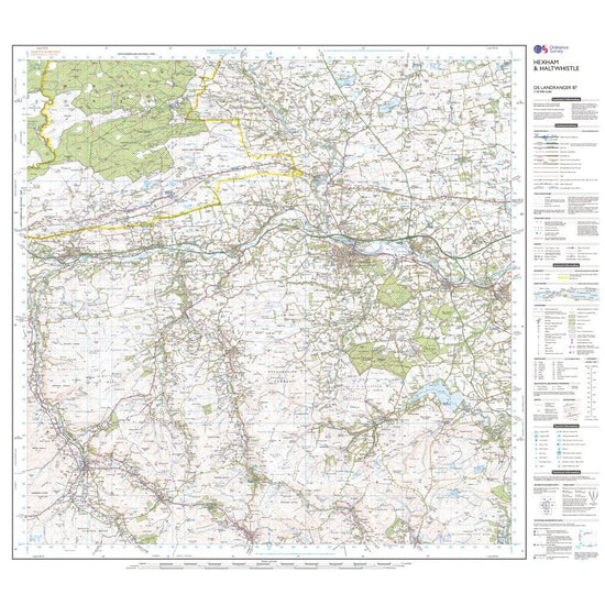
Ordnance Survey Landranger 87 Hexham & Haltwhistle Map With Digital Version£7.80
£13.00(Save 40%)Size in stock : One Size
-
-
Ordnance Survey Explorer Active 407 Skye - Dunvegan Map With Digital Version£10.20
£17.00(Save 40%)Size in stock : One Size
-
-
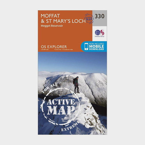
Ordnance Survey Explorer Active 330 Moffat & St Mary’s Loch Map With Digital Version£10.20
£17.00(Save 40%)Size in stock : One Size
-
-
Ordnance Survey Explorer 339 Kelso, Coldstream & Lower Tweed Valley Map With Digital Version£7.80
£13.00(Save 40%)Size in stock : One Size
-
-
Ordnance Survey Explorer 445 Foinaven, Arkle, Kylesku & Scourie Map With Digital Version£7.80
£13.00(Save 40%)Size in stock : One Size
-


Showing 96 of 1069 results
Maps have been used for centuries by hikers, walkers, campers, cyclists, families and adventurers, to unlock the terrain and new adventures. Ordnance Survey is the national mapping agency for Great Britain. Outdoor enthusiasts of all types use Ordnance Survey maps to reach viewpoints, navigate the landscape and discover new places to explore. Traditional paper maps provide outstanding detail of the terrain and allows you to see the routes, landmarks and trails. Ordnance Survey have a varied collection of maps which cover Great Britain, with their active range popular on wet UK adventures. Prefer to go digital? Ordnance Survey also has a range of options for GPS devices and smartphones allowing you to plot your map and see on your device the route ahead.